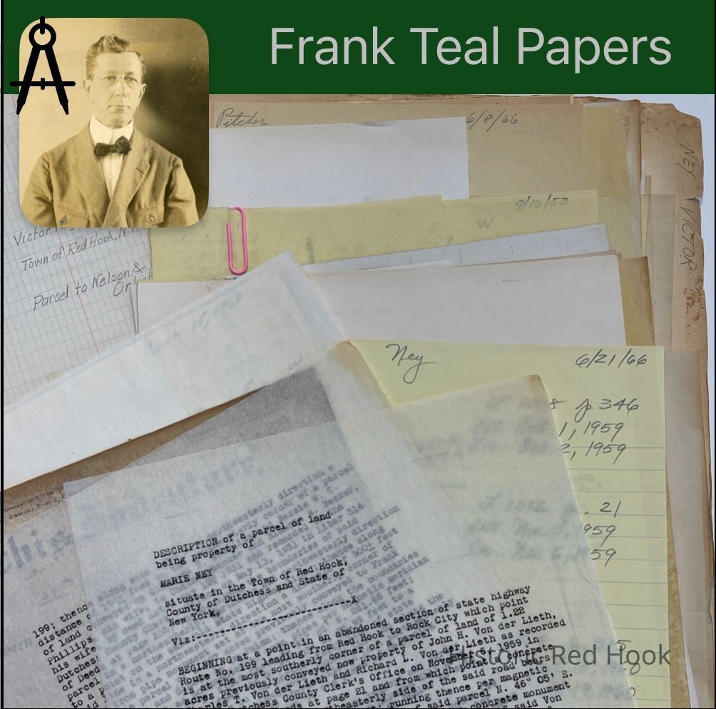
Name/Title
NEY, VICTOR RED HOOK-MILANEntry/Object ID
2016.011.280Scope and Content
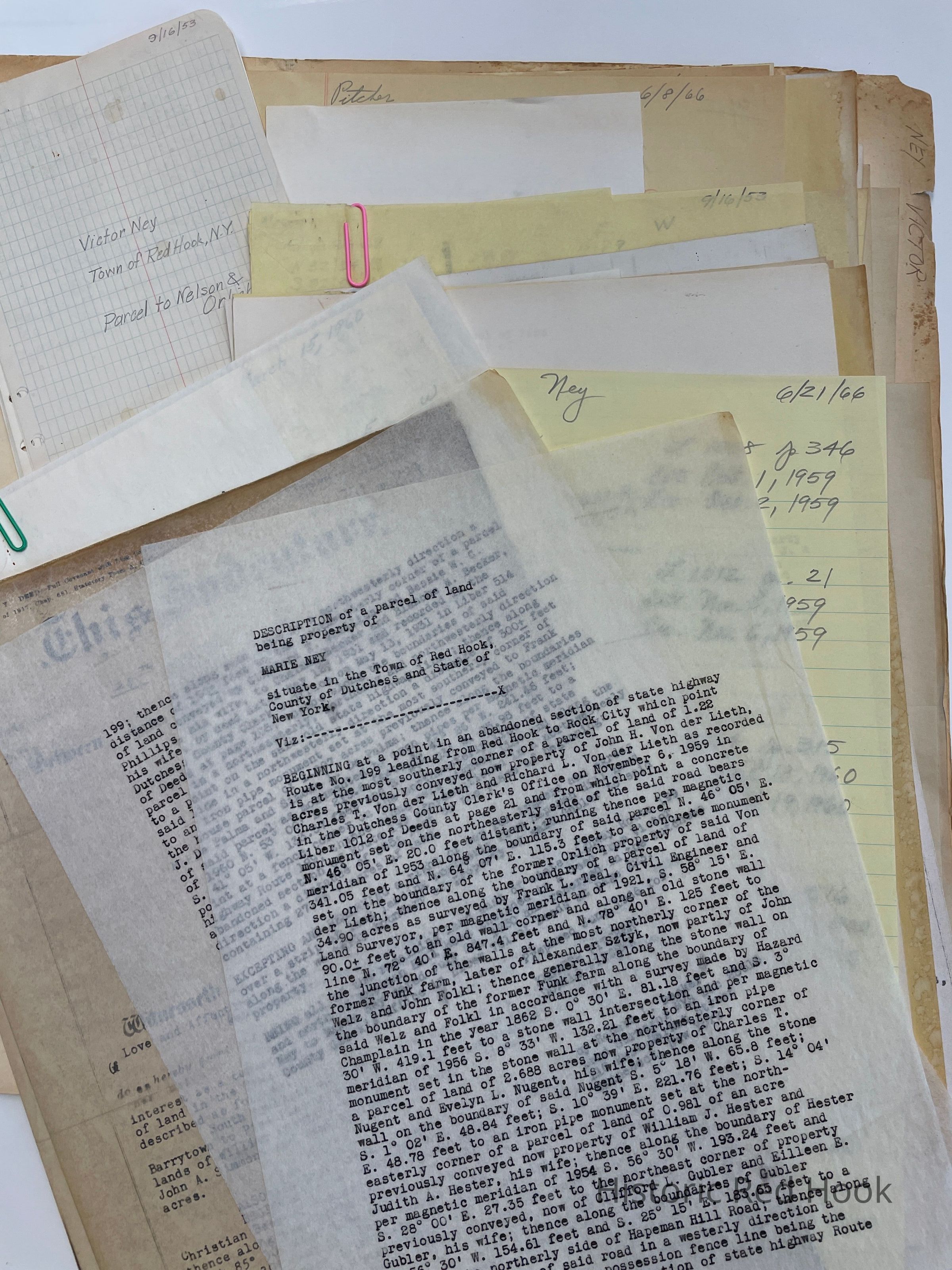
Survey: For Kenneth & Donald Pitcher June 1966. Parcel of land of Marie Ney 27.25 acres.
Deed: Victor Ney to Marie Ney 28 Jul 1950 751:223. 3 parcels.
1st: 17 acres, bounded S by John A. Simmons, E by road from Barrytown to Pine Plains and land of William Westfall, N by lands of Westfall and Simmons.
2nd: 15 acre, 3 roods, 3 perches.N by Christian Becker, E by Ney, S by road to Shookville and Ney, W by said lot, road to Rock City and land of Becker.
3rd: Land in Red Hook: 1 acre. 2 roods, 16 perches. Same as William Augustus Lown and wife Minnie L. To William Phillips 4 Apr 1912 373:471
Survey: For Marie Ney March 1960 Parcel from land of Marie Ney “House parcel” 1.097 acres
Survey: For Mary Brewster 21 May 1957. Parcel from land of Marie Ney “Additional Brewster Lot” 0.0815 acre
Survey: For Victor Ney Oct 1954 Parcel from property of Victor Ney “Lot No. 2" 0.661 acre
Map: Property of 0.981 acre on Hapeman Hill Rd.
Survey: From parcel of land of Marie Ney: Nov 1956- Revised Lot No. 1 0.981 acre
Description: Parcel of 34.90 acres. Same as from Ethel Jennings to Frank I. Whitenell 3 Jun 1921 416:4
Survey: For Victor Ney Sep 1953 1.22 acres
Field Notes: 1953 Parcel to Nelson & OrlichCollection
Teal-Decker CollectionRelationships
Related Person or Organization
Person or Organization
Teal, Frank L.