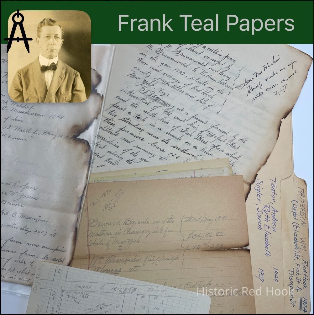
Name/Title
PATTERSON, WM. RED HOOK-Elizabeth, Fisk Sts. 1924Entry/Object ID
2016.011.289Scope and Content
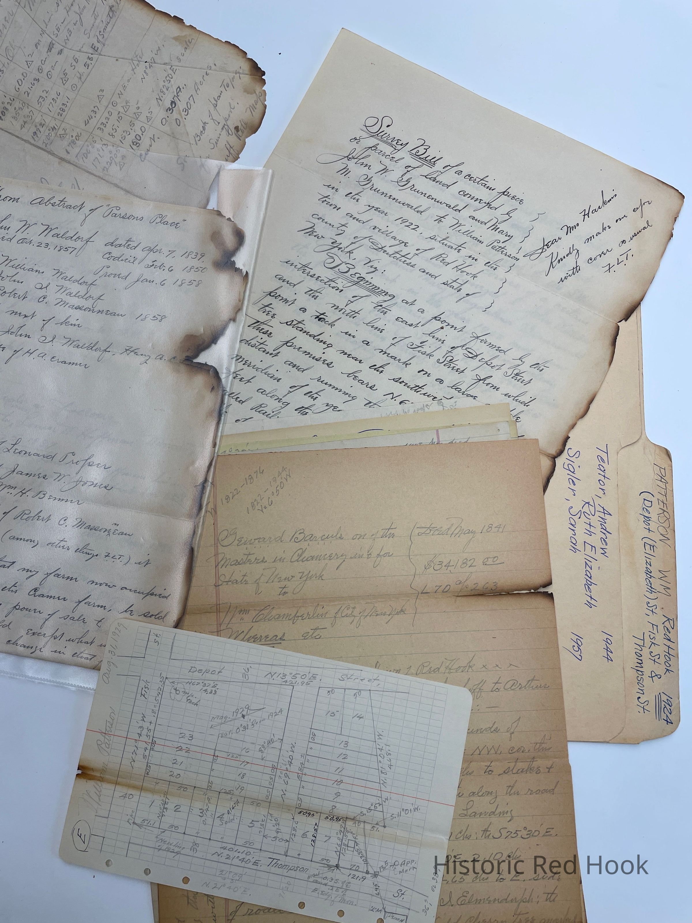
Teator Andrew & Ruth Elizabeth - 1944
Sigler, Sarah - 1957
Deed: Seward Barculs, Masters in Chancery to Wm. Chamberlin of NYC May 1841 70:263. Farm in Town of Red Hook from Stephen I. Brinkerhoff to Arthur Smith in 1822. 364 acres. Mentions:South bounds of Jacob Staats, being NW corner of farm, along road to John R. Livingston’s Landing, E side of road leading to Cornelius Elmendorph
Map: Penciled hand drawn of Lots Irving H. Doyle from Dan. VandeBogart 1906, 347:223
Field Notes: Courses along Henry Best Farm, G. Cook 1876
Survey: For William Patterson 31 Aug 1929. Lot No. 3 from easterly portion of land of William Patterson 0.147 acre. [Note at top of paper: Andrew Teator & Ruth Elizabeth 1944; Sarah Sigler 1957]
Survey: For William Patterson 31 Aug 1929 Lot No. 4 0.147 acre.
Map: Hand drawn pencilled map of eight lots on thecorner of Fisk and Thompson St.
Will: From abstract of “Parsons Place”. Will of John W. Waldorf, d.23 Oct 1857.
Survey: For William Patterson 8 Aug 1924: 5.87 acres. Parcel from John W. Grunenwald & Mary M. Grunenwald to William Patterson in 1922.Collection
Teal-Decker CollectionRelationships
Related Person or Organization
Person or Organization
Teal, Frank L.