Name/Title
POTTS, CHAUNCY MADALINEntry/Object ID
2016.011.293Scope and Content
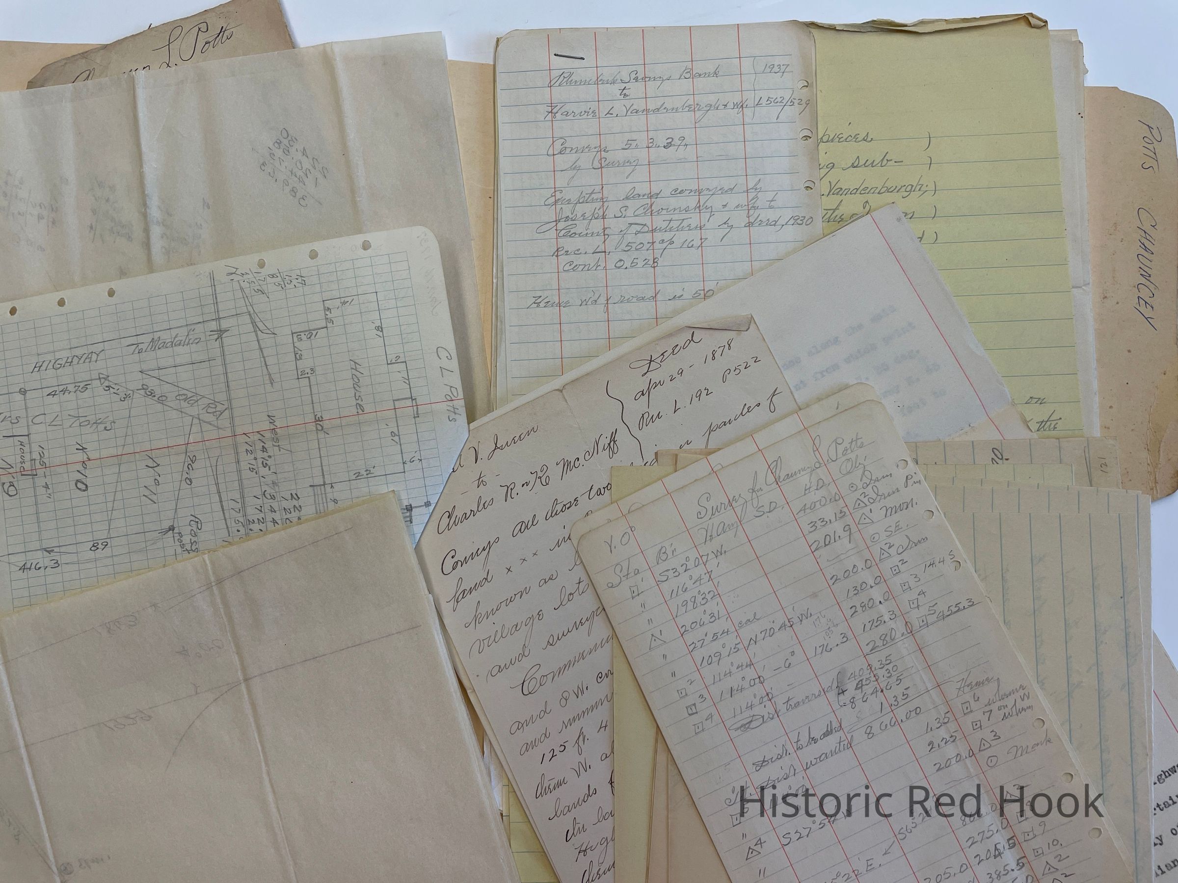
Map:
Survey: For Chauncy L. Potts 9 Aug 1929 Land formerly Homestead Farm of Edward Sturges, now property of Chauncy L. Potts & wife Fanny. 4.00 acres
Survey: Parcel of land from westerly portion of land of Chauncy L. Potts 25.75 acres
Field Notes Chauncy Potts 16 Jan 1937
Deed:(?) Jureen to Charles R or K McNiff 29 Apr 1878 192:522 Lots 10 & 11 on map of Village of Daniel V. Queen surveyed by G. Cook in 1871
Survey: For Chauncy Potts 16 Jan 1937 Two Lots. No.1 East Lot; 0.78 acre. No. 2, West Lot 0.65 acre.
Survey: For H.L. Vandenburgh 3 Dec 1942 Two Lots. South Lot: 2.39 acre. North Lot 2.79 acre.
Survey: For Harvie L. Vandenbergh 6 Sep 1946. Easterly portion of lot from Rhinebeck Savings Bank to Harvie L. Vandenburgh in 1937 0.177 acre
Maps: Three of above lotsCollection
Teal-Decker CollectionRelationships
Related Person or Organization
Person or Organization
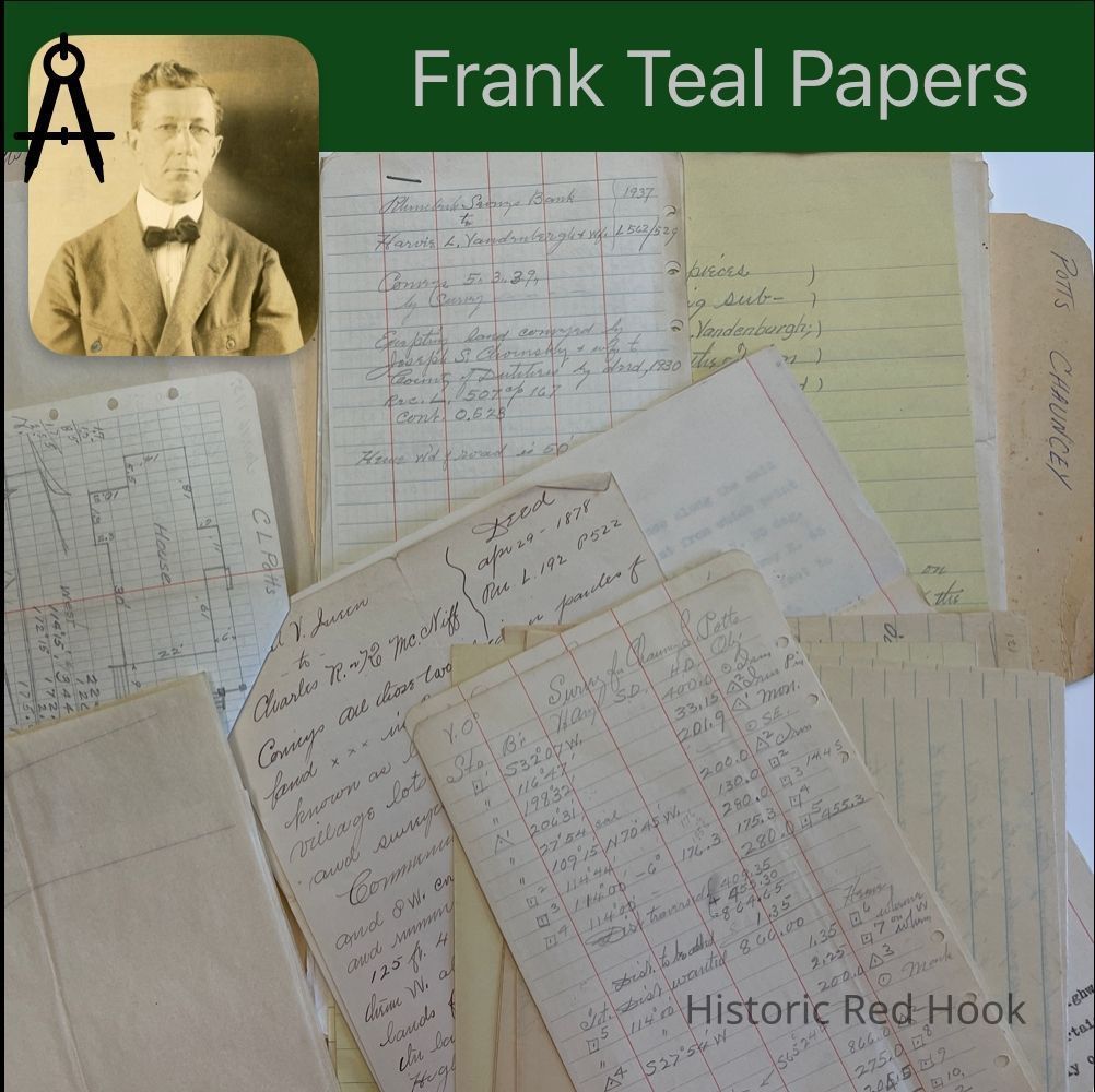
Teal, Frank L.