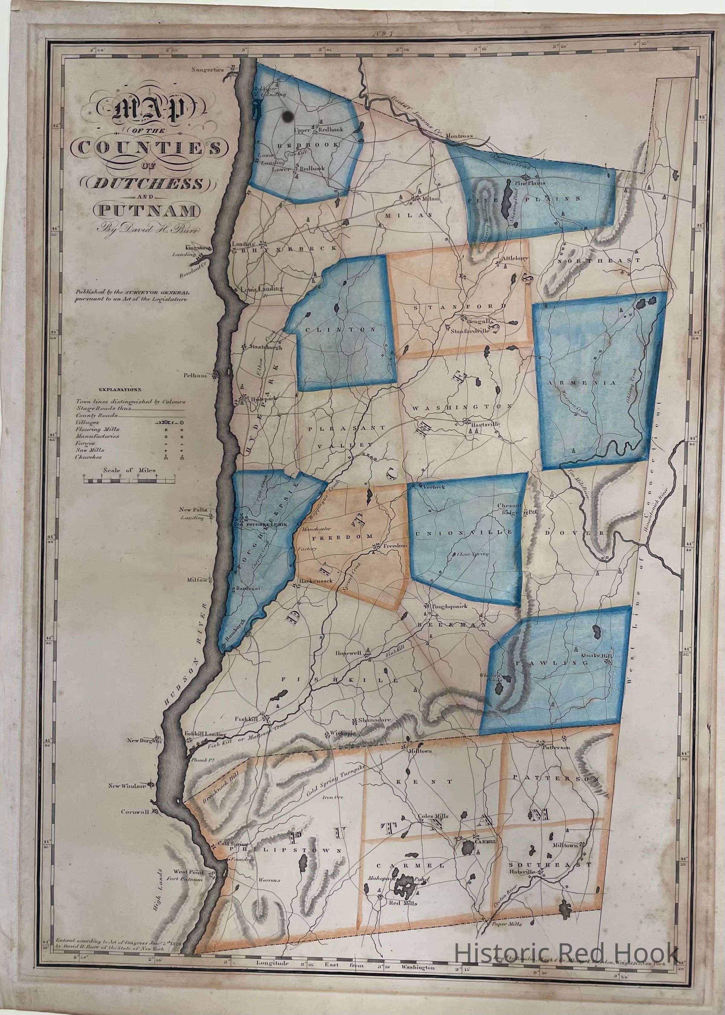
Name/Title
1829 Burr Map of Dutchess and Putnam CountiesEntry/Object ID
2014.002.79Description
Original plate from 1829 Burr Atlas of Dutchess and Putnam Counties
(removed from frame, 5/7/13)
Note from original record:
Photostat also available: 1998.034 #31
See original framed map: 2012.006.002Collection
Red Hook MapsMap Details
Maker or Creator
F. W. BeersPublisher
F. W. Beers