HUB
Collections
Classifications
About
App
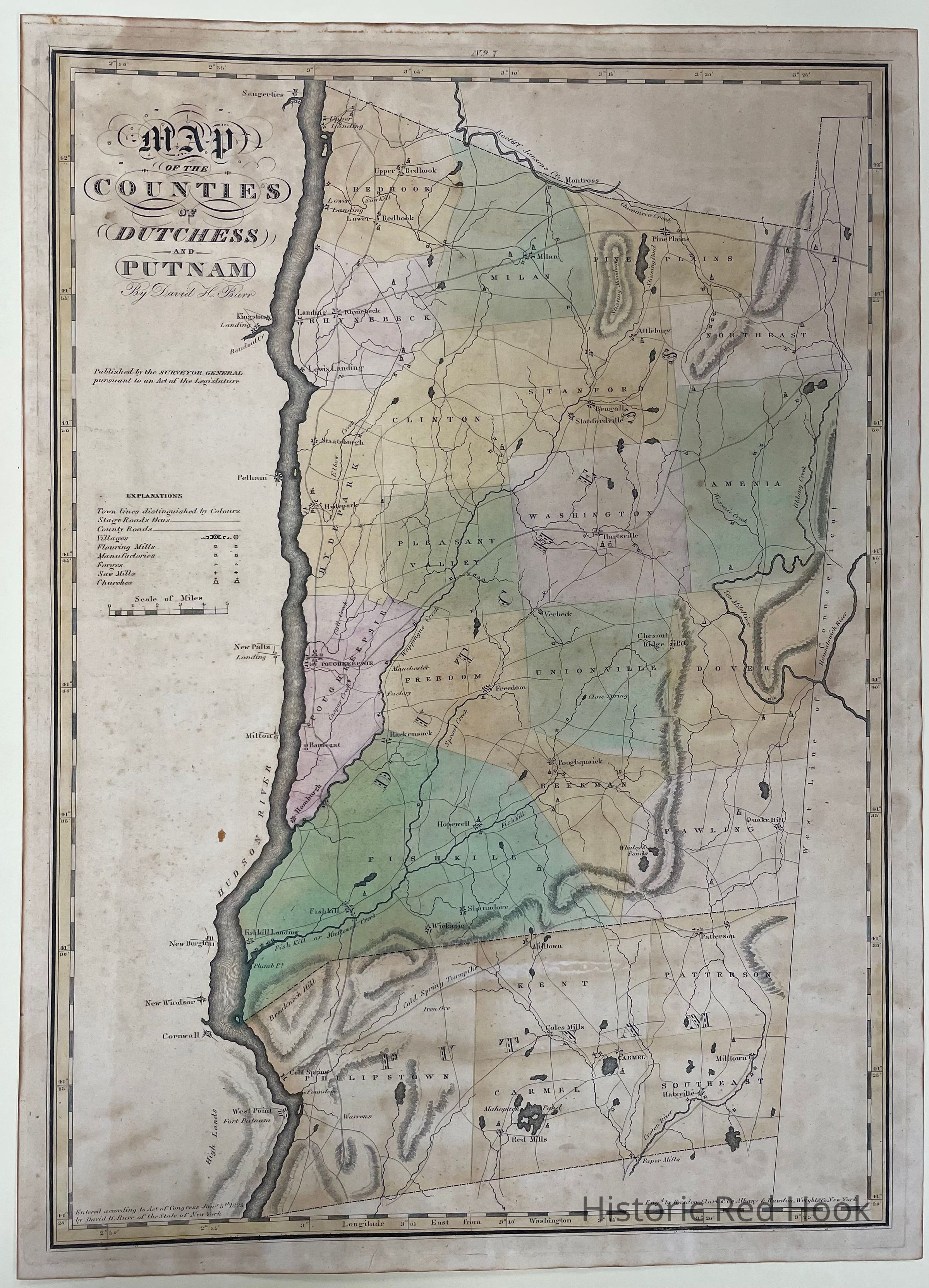
1829 Burr Map of Dutchess and Putnam Counties
Map
-
Historic Red Hook
Name/Title
1829 Burr Map of Dutchess and Putnam Counties
Entry/Object ID
2012.006.002
Description
Original plate from 1829 Burr Atlas, Map of Dutchess and Putnam Counties. Taken out of frame 2/8/2022. Was on display in Elmendorph.
Collection
Barbara Bielenberg Collection
Map Details
Publisher
Burr