HUB
Collections
Classifications
About
App
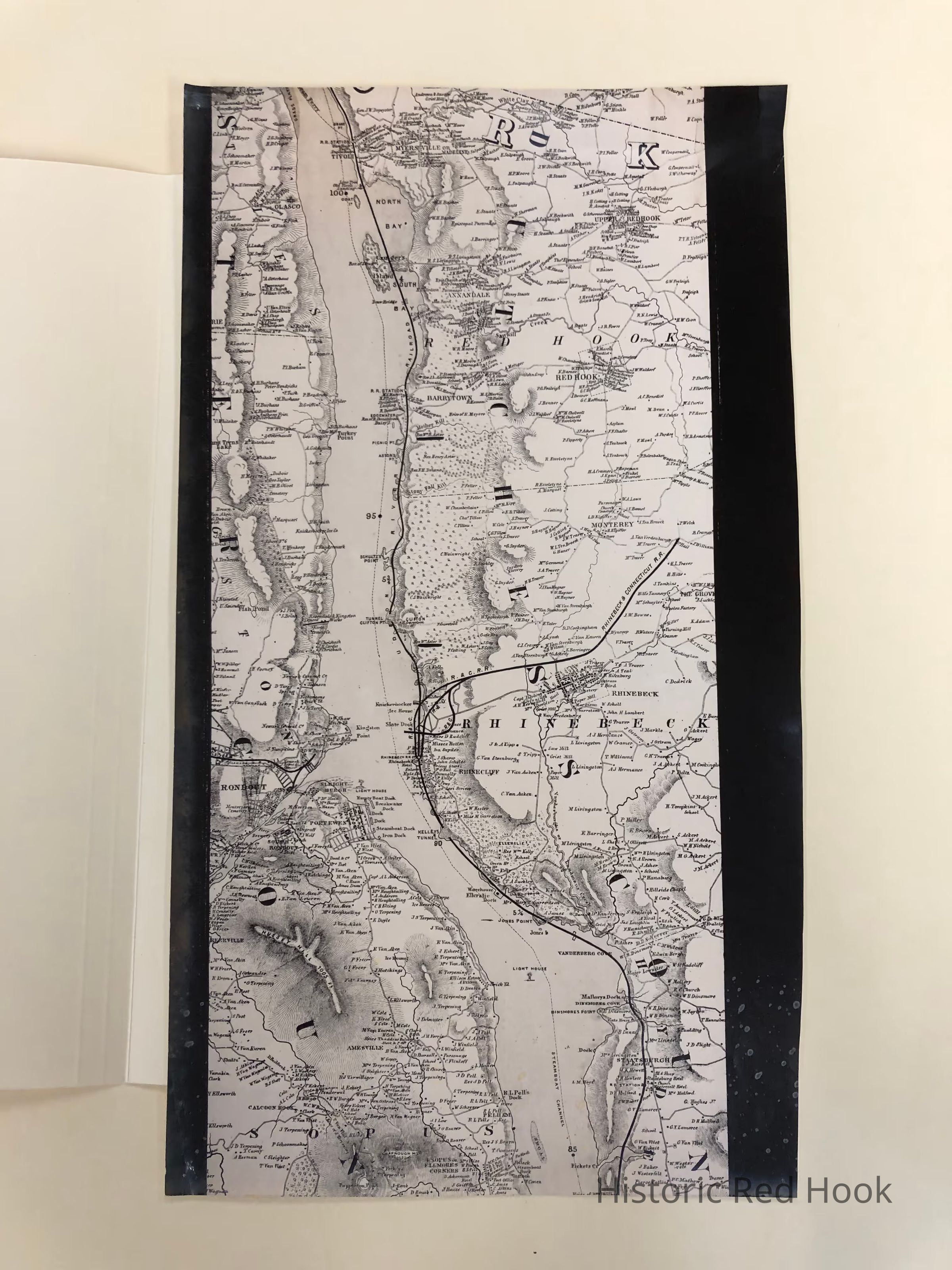
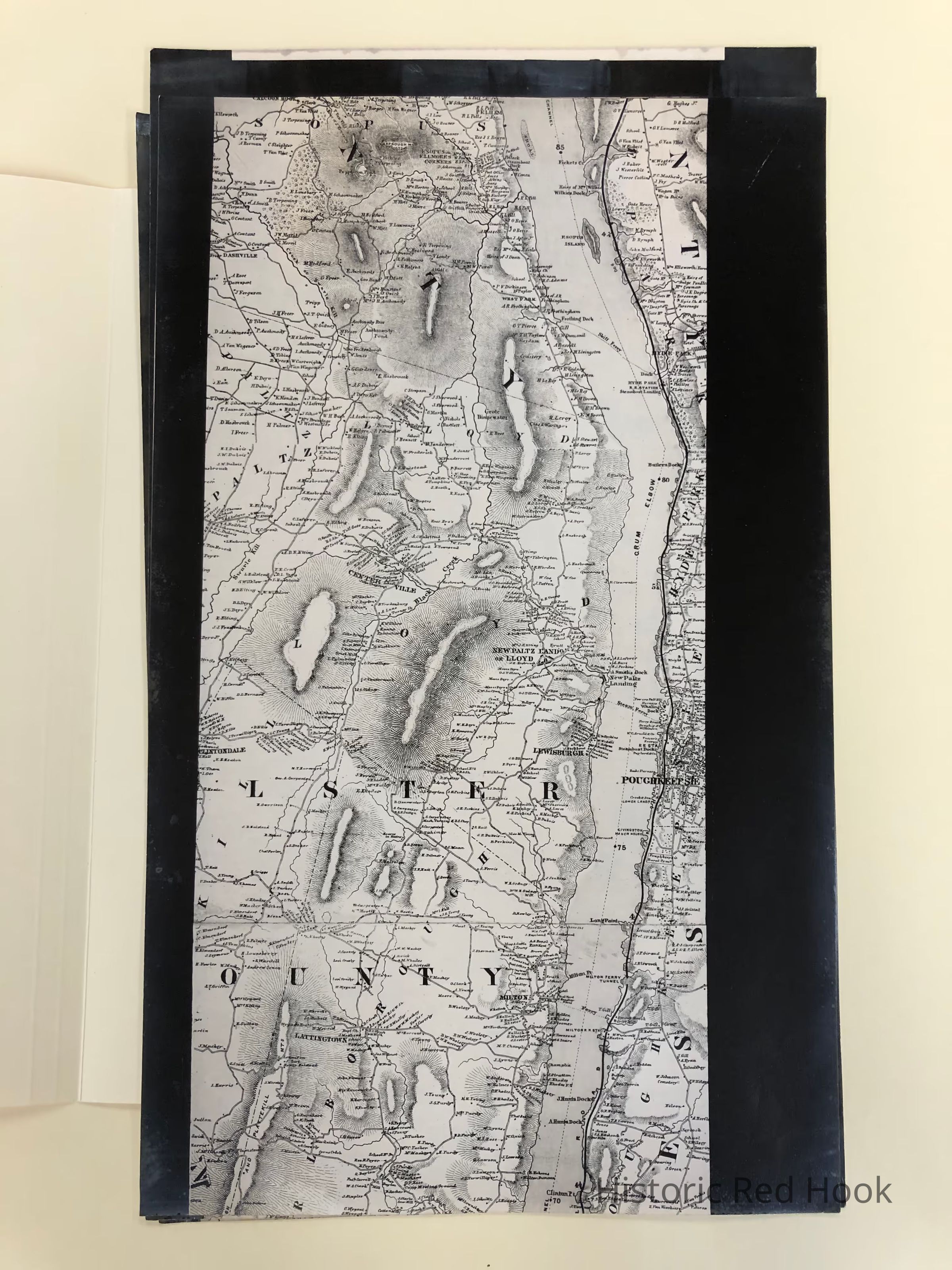
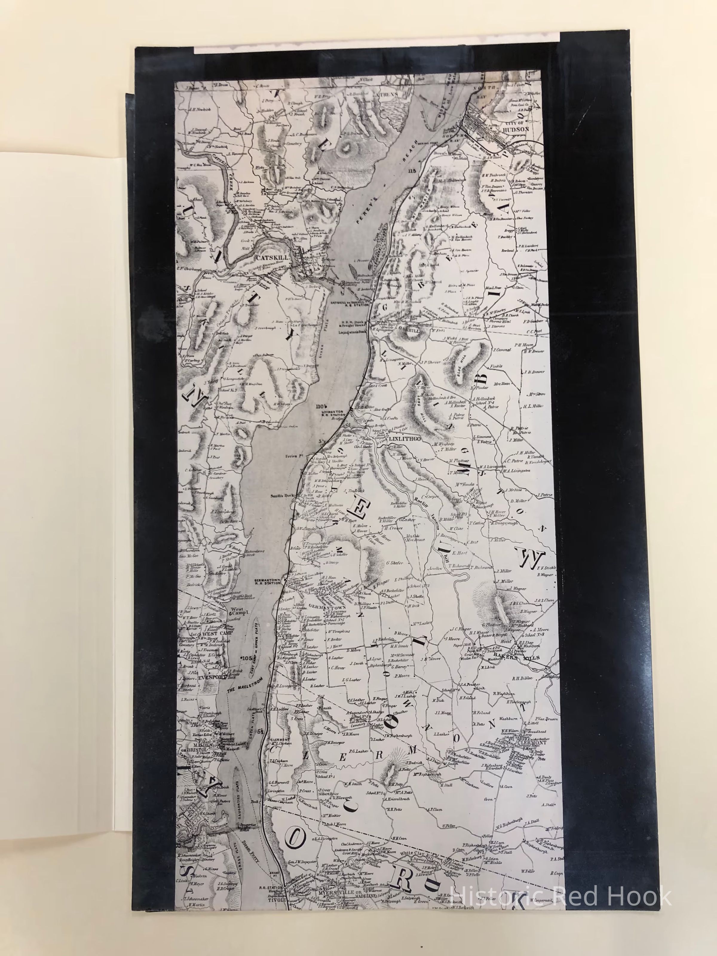
1864/1878 Topographical map of the Hudson River
Map
-
Historic Red Hook
Name/Title
1864/1878 Topographical map of the Hudson River
Entry/Object ID
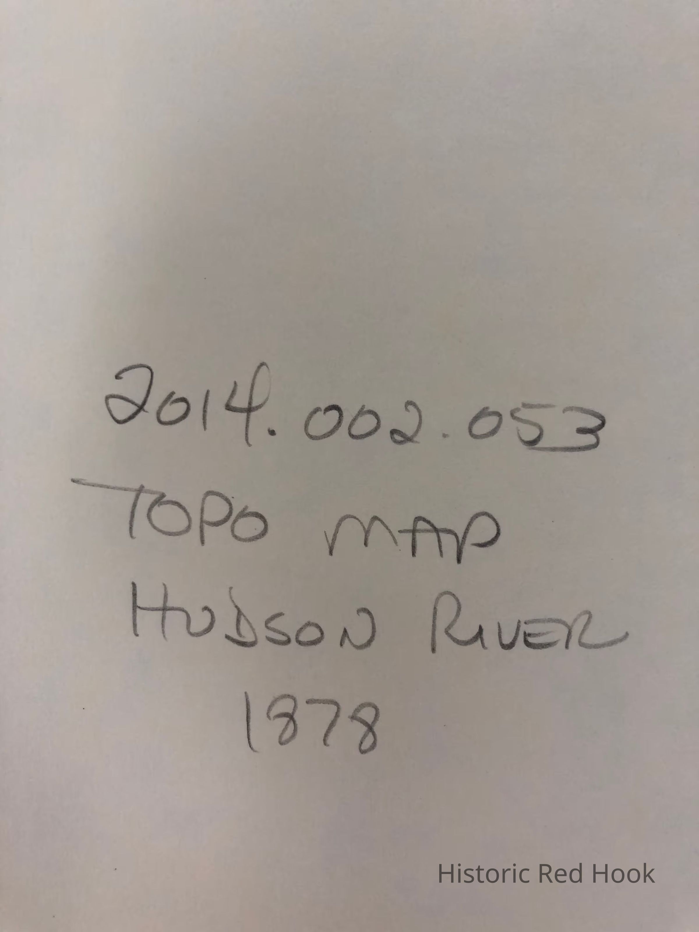
2014.002.053
Description
Photostats of topographical map of the Hudson River from Poughkeepsie to Hudson in 3 sections showing parts of Dutchess, Columbia Ulster and Greene counties. Data on the map as of 1864, reprint 1878, and includes an extensive list of home owners.
Collection
Red Hook Maps
Map Details
Publisher
Lloyds