HUB
Collections
Classifications
About
App
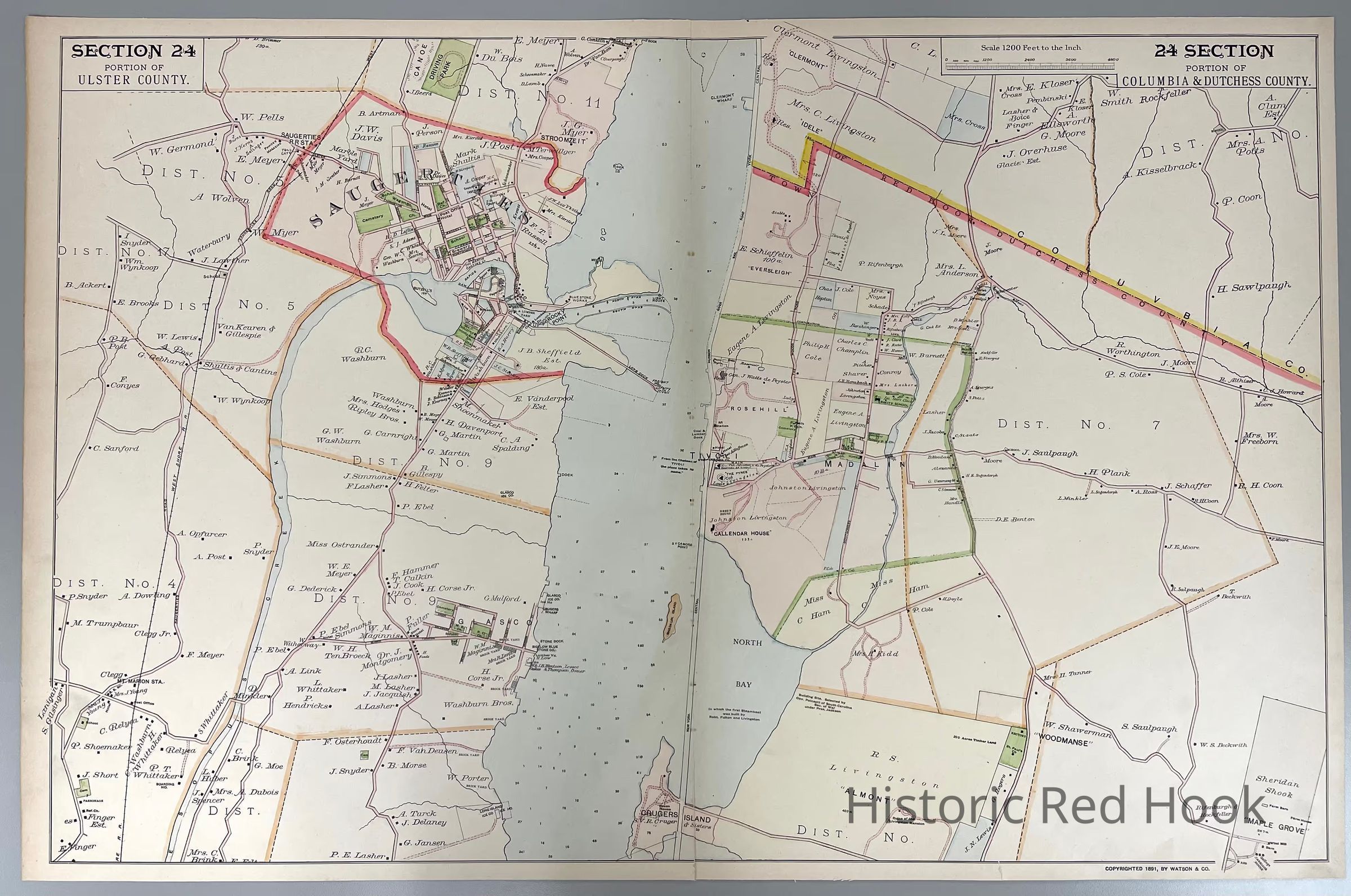
1891 F. W. Beers Map, Section 24 Portion of Columbia and Dutchess County (northern Red Hook)
Map
-
Historic Red Hook
Name/Title
1891 F. W. Beers Map, Section 24 Portion of Columbia and Dutchess County (northern Red Hook)
Entry/Object ID
2014.002.011
Description
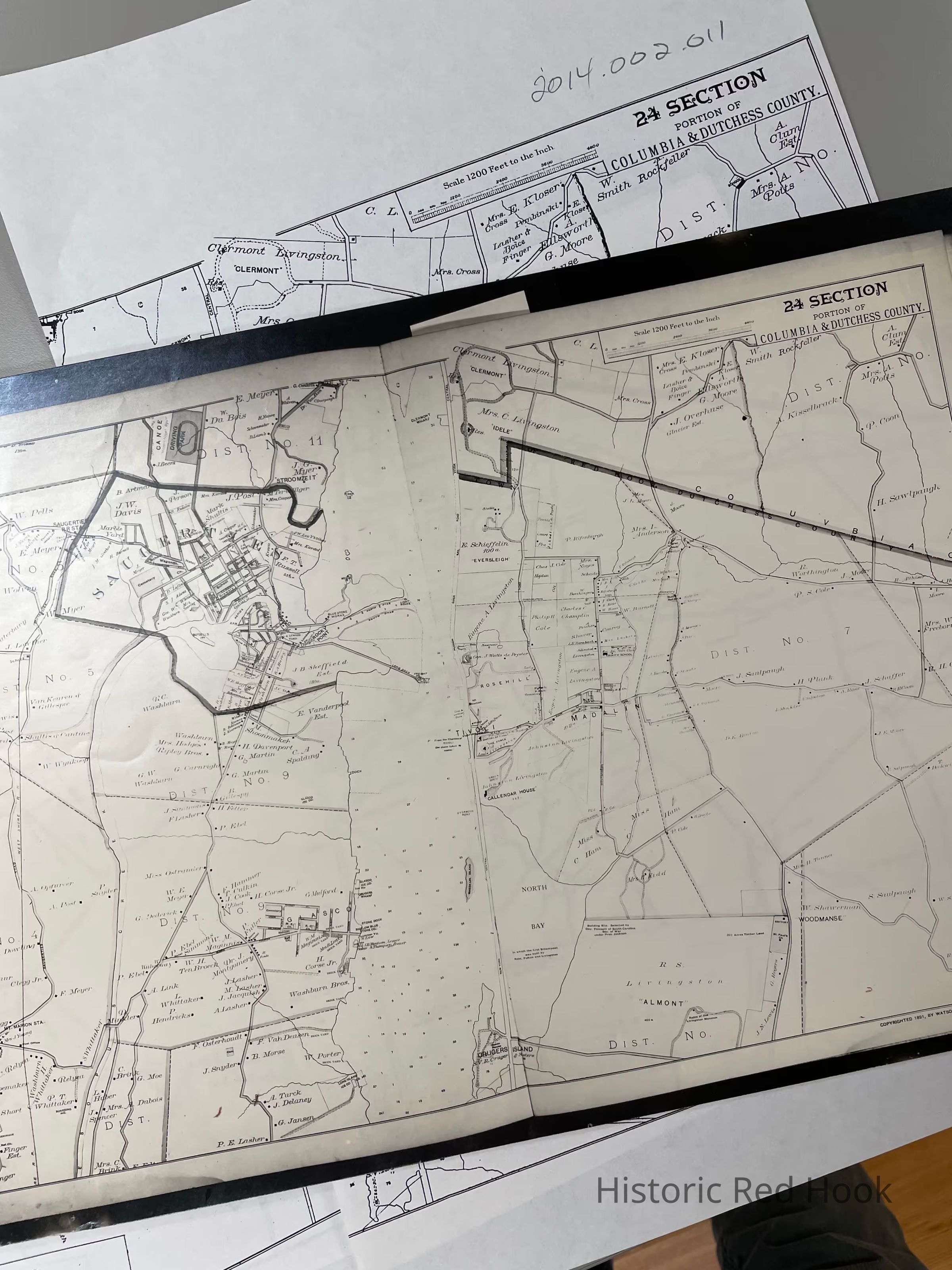
Original plate from 1891 Frederick W. Beers Map, Section 24, Crugers Island to Clermont (northern part of Red Hook). Plus photostat and photocopies
Collection
Red Hook Maps