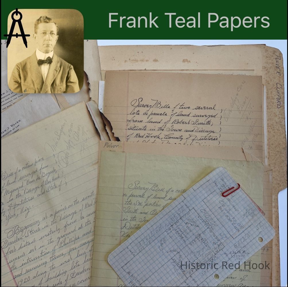
Name/Title
PULVER, CLIFFORD RED HOOK VILLAGEEntry/Object ID
2016.011.301Scope and Content
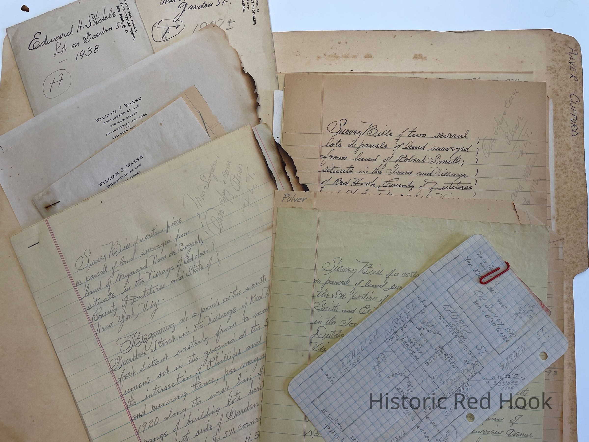
Survey: From SW portion of land of Robert Smith & wife Elizabeth 5 3/4 acres. No date.
Survey: For Edward H. Stickle 3 Jun 1938 Parcel from Minnie M. Shop to Edward H. Stickle in 1932 0.50 acre
Survey: For Mynard Van de Bogart 24 Oct 1941 Parcel of land of VandeBogart 0.4 acre
Survey: For Mynard Van de Bogart 18 May 1938. Parcel of Van deBogart 0.44 acre
Letter: 7 Jul 1949 From William Walsh to Frank Teal
Letter: 1 March 1949 From William Walsh to Frank Teal
Survey: For Robert Smith 7 March 1949 Parcel No. 4-0.50 acre; Parcel No. 5 0.50 acre
Survey: 1949 Parcel of land from Robert Smith 0.33 acre, On Garden Street
Field Notes: Clifford Pulver, Garden Street
Survey: For Robert Smith 1947 Lot on east side of Benner Rd. Lot No. 1- 0.516 acre
Survey: For Robert Smith et al 13 Aug 1948 Lot No. 3 0.50 acre
Letter: 26 Oct 1948 From Jessie S. To Frank Teal
Survey: Includes pencilled map. For Otis Rhynders (present Owner)Chas. Proper Lot . Shows lots on Garden Street of P.G. Fraleigh to James Corrigan in 1872; Chas. B. Herrick to Mary E. Proper in 1894, George Van Steenburgh; P.G. Fraliegh to Mary E. Coon in 1875Collection
Teal-Decker CollectionRelationships
Related Person or Organization
Person or Organization
Teal, Frank L.