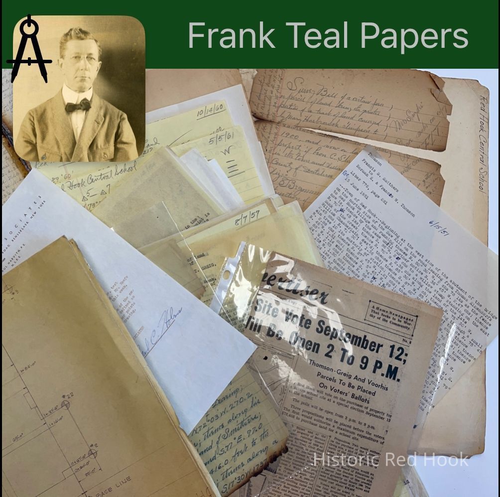
Name/Title
RED HOOK CENTRAL SCHOOLEntry/Object ID
2016.011.307Scope and Content
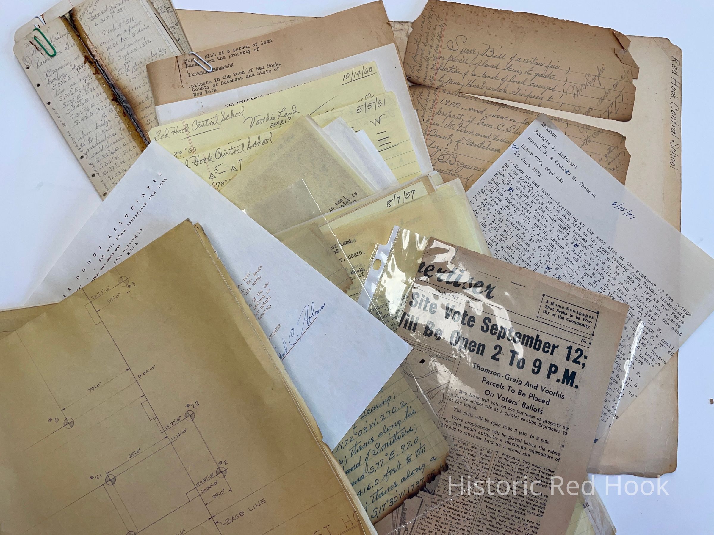
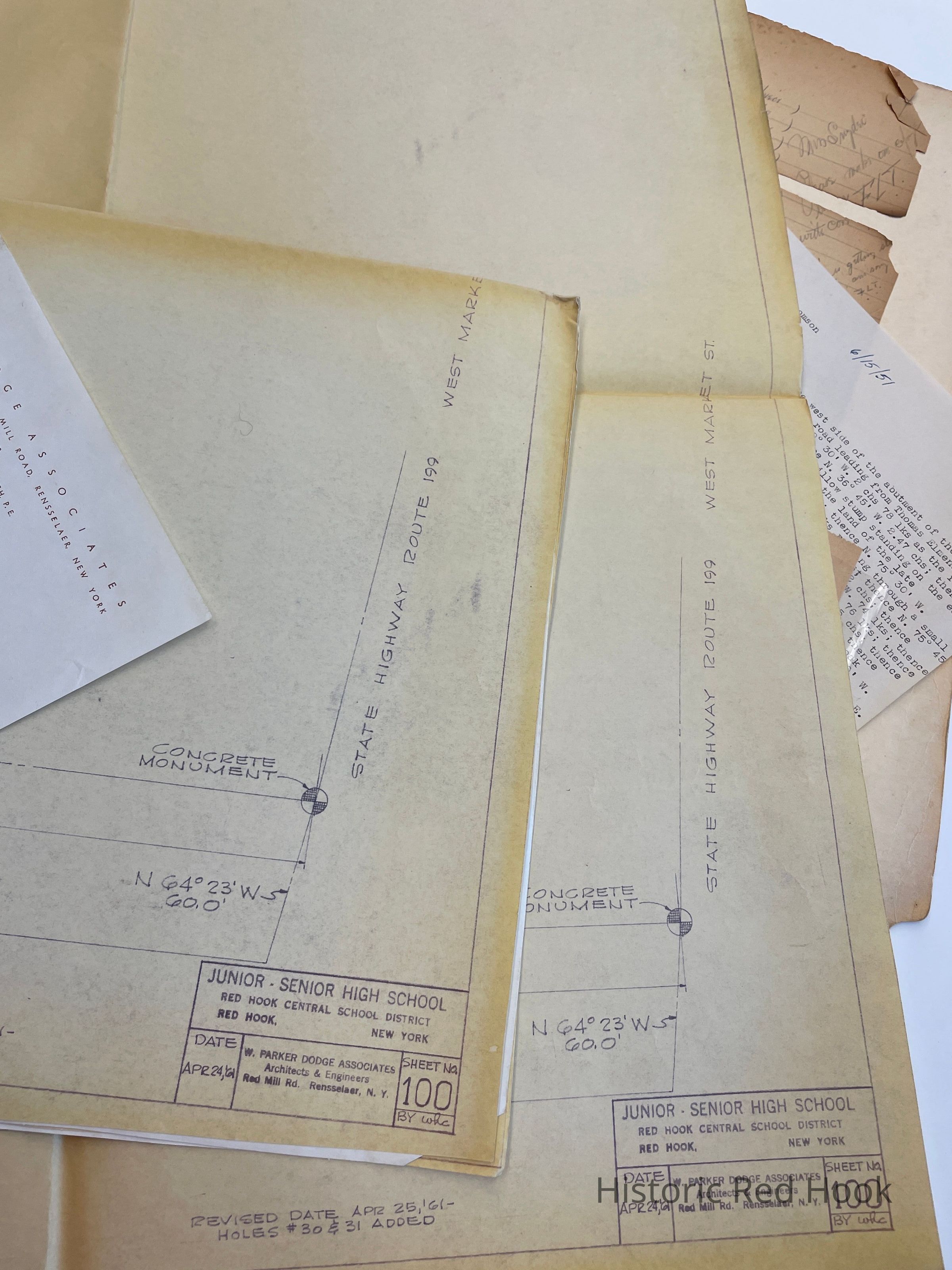
Letter: 24 Apr 1961 From W. Parker Didge Assoc. To Robert Decker
Survey: 16 May 1945 Land of Victor G. Gangwish 21.24 acres
Field Notes: Mary H. Timpson to Lawrence Timpson 317:381 Nov 2 1900
Field Notes: Voorhis
Field Notes: Red Hook Central School, Parcel from Terence Thompson & Robert Greig
Field Notes: Leon C. Shelley- Linden Ave. Etc.
Field Notes: Maizeland 16 Nov 1937
Newspaper Clipping: 15 Aug 1957. School vote on Thompson-Greig-Voorhis property.
Survey: For Red Hook Central School Aug 1957. Parcel taken from property of Robert G. Greig & wife Marion 11.63 acres
Survey: For Red Hook Central School Aug 1957. Parcel from Terence Thompson 28.37 acres.
Deed: G. Warren Shaw & wife to Robert Greig & Marion 9 Feb 1956 910:431. Being easterly portion of the farm formerly known as the Smith Farm conveyed by Joseph J. Smith et al to Henry V. Shaw 20 Sep 11918 403:328 62 acres.
Map: Thompson-Greig site
Deed: From Terence Thompson to Red Hook Central School. 40 acres along with parcel from Robert Greig
Map: Voorhis Site
Deed: Gordon Voorhis to Red Hook Central School
Newsclipping: “Red Hook May Get Choice of 3 Sites for New School”
Letter: 8 Jul 1958 Casscells to Robert Decker
Survey: For Red Hook Central School, July 1957. Gordon Voorhis, a portion of the former Joseph Griffing Farm 32.67 acres
Survey: For Red Hook Central School 24 Nov 1959 Gordon Voorhis, portion from former Joseph Griffing Farm 1.51 acres
Field Notes: Terence Thompson to Red Hook Central School, Rockefeller Lane Feb 1958
Survey: For Estate of Leon C. Shelley April 1943. Parcel from land of Estate of Leon C. Shelley 6.57 acres. (Dearing Lot)
Survey: For Red Hook Central School Oct 1954. Parcel taken from land of Fred M. Dearing 1.828 acres
Field Notes: Dearing Parcel 6 Oct 1954
Survey: For Red Hook Central School Oct 1960. Gordon Voorhis. Parcel taken from portion of land formerly owned by Joseph Griffing, conveyed by Ella Gangwish to Gordon Voorhis 10.0 acres
Survey: For Red Hook Central School March 18 1941. Parcel being property of School District No. 4 in Town of Milan 0.47 acre
Map: Voorhis Site
Field Notes: Dec 1960
Letter: 28 Sep 1961 From Roscoe Williams to Robert Decker
Survey: For Red Hook Central School April 1958. Parcel from land of Terence Thompson 29.56 acres
Map: Test Hole Location Plan
Letter & Maps: From W. Parker Dodge Assoc. To Robert Decker. Revised plans for test holes
Deed: Francis S. Smithers to Norman E. & Frances Thompson 15 June 1951 776:281 159 acres, 1 rood, 2 perches. Excepting parcel by Henry J. Best & wife Caroline N. To John Pulver 11 March 1896 284:268. Excepting Best to Pulver 339:6. Excepting Best to Pulver 374:429. Same as Etta Q. Best to Smithers 566:152 9 Apr 1938
Survey: [2nd page missing from Survey] Portion of land being greater part of tractfrom Mary Hasbrouck Timpson to Lawrence Timpson in 1900 and now late the property of Leon C. ShelleyCollection
Teal-Decker CollectionRelationships
Related Person or Organization
Person or Organization
Teal, Frank L.