HUB
Collections
Classifications
About
App
1940 Survey of Red Hook Hotel Property
Map
-
Historic Red Hook
Name/Title
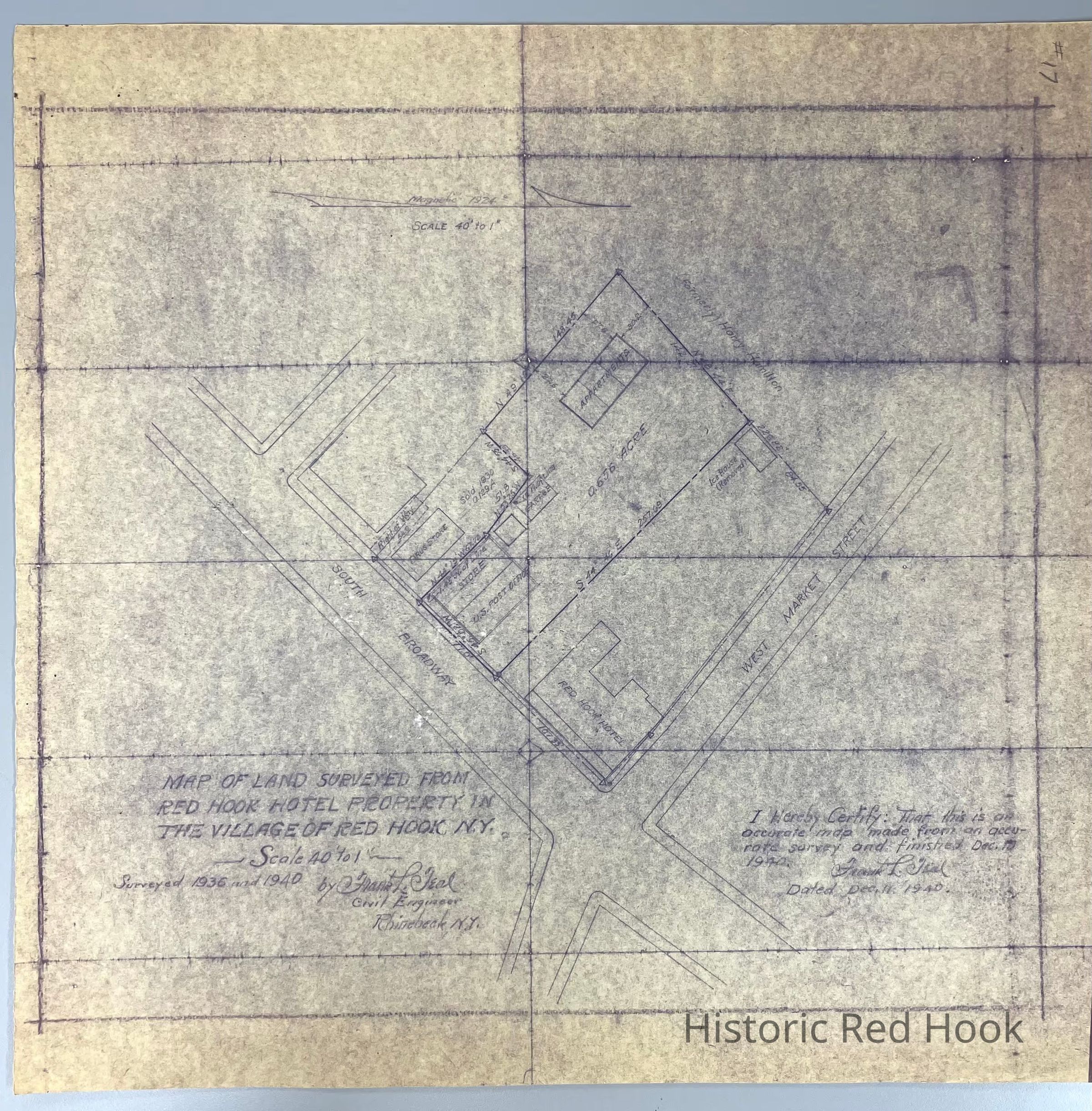
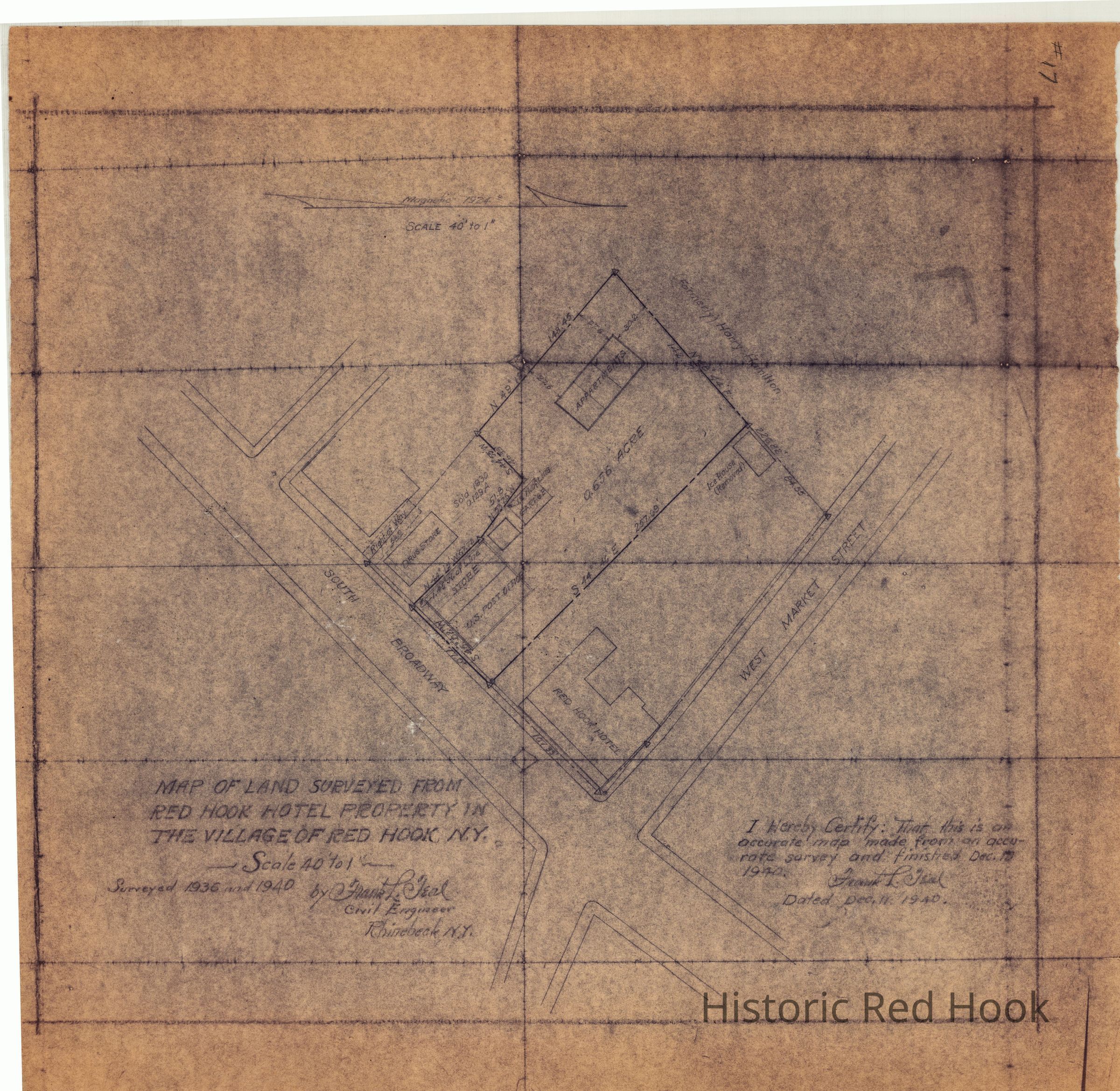
1940 Survey of Red Hook Hotel Property
Entry/Object ID
2014.002.030
Description
Blueprint of 1940 Map of land surveyed from Red Hook Hotel property in the Village of Red Hook, N.Y. Scale 40' to 1" Surveyed 1936 and 1940 by Frank L. Teal, Civil Engineer, Rhinebeck, N.Y. Dated Dec 11, 1940
Collection
Red Hook Maps
Relationships
Related Places
Place
Property
2 West Market St.
Village
Red Hook Village