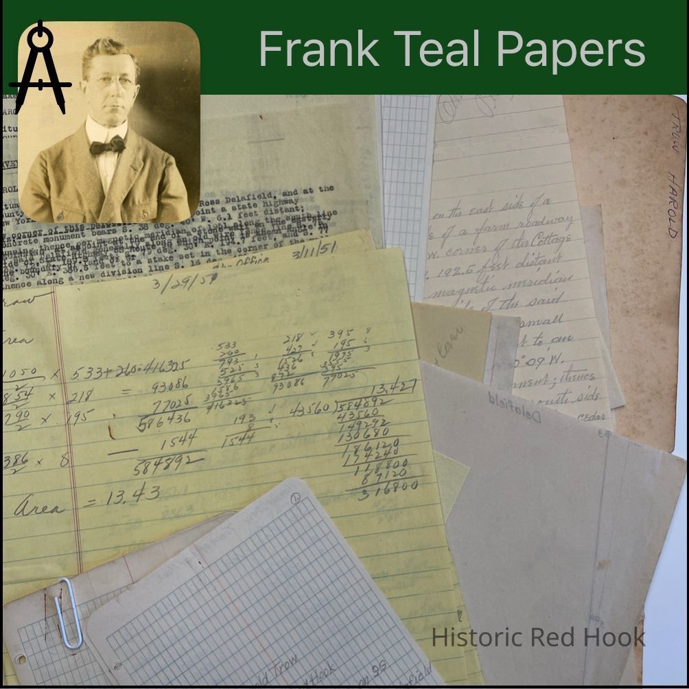
Name/Title
TROW, HAROLDEntry/Object ID
2016.011.316Scope and Content
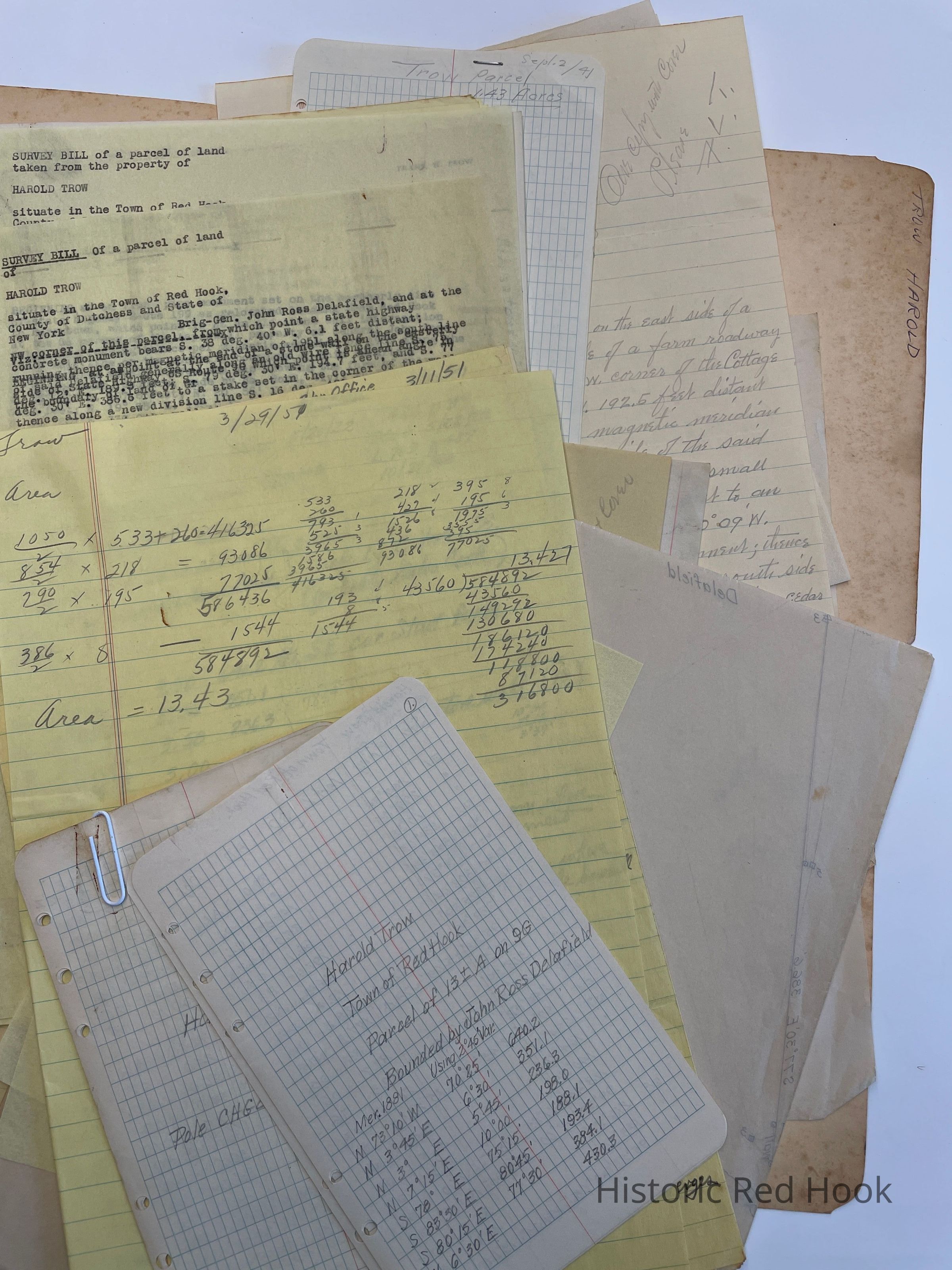
Field Notes: Harold Trow - Parcel on 9G
Survey: For Harold Trow May 1951 13.43 acres. Being portion of farm of:
703:487 Sadie L. Trow to Harold Trow Oct 27, 1948
Survey: 20 April 1881. Beg. At stone set in ground...Map “C” of Chamberlain land.
Survey: For Harold Trow June 1955 50 acres. Being taken from SW corner of farm.
Map: Trow land - 13.43 acres
Deed: 424:39 Frank H. Trow to Sadie L. Trow 20 May 1922. Portion of landof which William L. Chamberlain died seized designated on Map “C” 221 acres, 2 roods.
Survey: For Harold Trow May 1955- Franklin Kolbenski Parcel 0.492 acre
Memo: Of Frank Trow- Fruit & Turkey Farm. Freehand map of lots of farm and Farm & Field acreage.
Field Notes & Survey: For Franklin Kolbenski 27 June 1949 Parcel from Zera Patterson to Frank H. Trow and Sadie L. Trow in 19190.143 acre
Survey: For Franklin Kolbenski 21 Apr 1938 Parcel of land from Zera D. Patterson to Frank H. Trow & Sadie L. Trow 0.29 acres
Survey & Map: For Walter A. Zincke 2 Sep 1941. Parcel from land of Sadie L. Trow 1.43 acresCollection
Teal-Decker CollectionRelationships
Related Person or Organization
Person or Organization
Teal, Frank L.