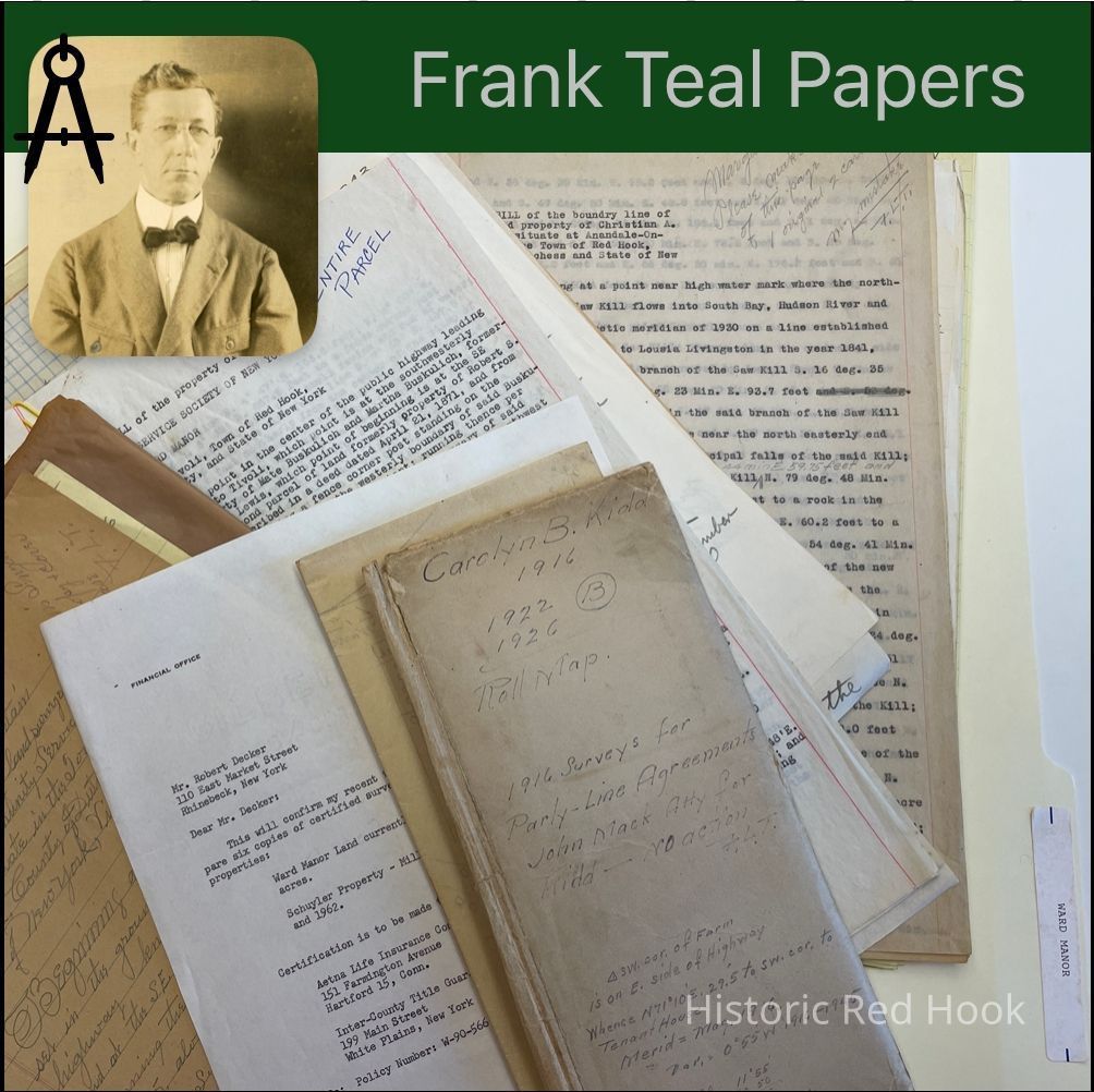
Name/Title
WARD MANOREntry/Object ID
2016.011.329Scope and Content
Newspaper Clipping: From DCHS 25 Sept 1930 Blithewood
Map: 1926 3.25 acres- Mill Pond
Notes: Red Hook Milling Co. Vs. James H. Kidd & Carolyn B. Kidd-Boundary dispute
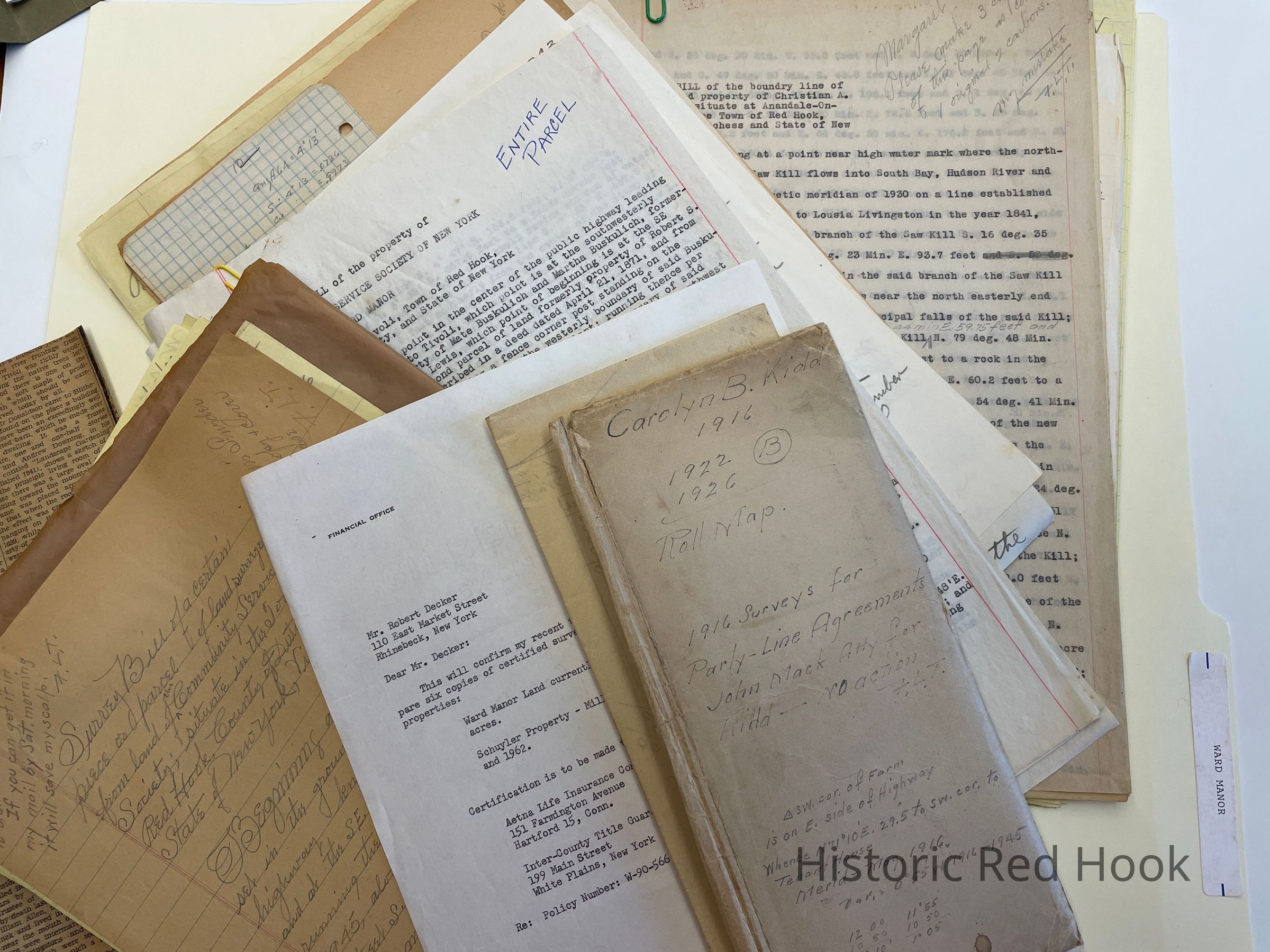
Surveys of Boundarys: 1916
1. Between Carolyn Kidd & land of John Pulver
2. “ ” & Herman G. Eilers
3. “ ” & Mary J. Potts
4. “ ” & James H. Artz
5. ‘ “ & Jonas Barringer
7. ‘ “ & Red Hook Milling Co.
Deed: 386:437 John S. Kennedy & wife to Carolun B. Kidd 42 acres. Also 6 acres, both tracts 50 ½ acres. Being same lands from Katherine C. Brown to Robert G. Moore in 1905 342:342. Description taken from a deed by Robert L. Livingston to Henry Staats 1 May 1831 re: water privileges.
Map: J. H. Kidd
Map: Lyke Corner
Map: A.I.C.P. 80.62 acres 1928
Letter: From Ursula Vecchine to Frank Teal
Letter: 2 Oct 1942 From C. M. LeHan to Frank Teal
Map: Lyke Lot, Old Survey Budd 1945
Survey: For Carolyn B. Kidd 30 July 1926- Ice House and Lot 1.4 acres
Letter: 30 Jul 1963 From William Asip (Bard College) to Robert Decker
Survey: For Community Services Society 6 Mar 1945. Parcel of land from land of Comm. Services Society 5.32 acres
Survey: For Community Service Society of New York (Ward Manor) Sep 1958 802.1 acres
Field Notes: Ward Manor 25 Sep 1958
Field Notes: Ward Manor- 90 acre parcel 13 Apr 1960
Mtg. Release: 411:57 2 Mar 1899 Cornelia & Catherine Church Cruger -Cruger’s Island 75 acres of upland and 60 acres of marsh land
Field Notes: Road Improvement 20 Mar 1947
Map: Madalin Road 1947
Survey: For Town of Red Hook 20 Mar 1947; Strip of land from property formerly known as Ward Manor 0.883 acre
Survey Order: From Title Guarantee & Trust Co. To Robert Decker 10 June 1960
Field Notes: 12 Oct 1958 - Along Cruger Lane
Along Lewis Farm
Letter: 28 Oct 1958 From Community Service Society to Robert Decker
Letter: 11 May 1960 From Title Guarantee Co. To Robert Decker
Survey:Schedule 1 to Exhibit A- Map of Ward Manor Property 768 acres
Survey: For Community Service Socity of New York April 1960 712.1 acres; Parcel sold to Cruger Development Corp.
Survey: For Community Service Society of New York Sep 1958 802.1 acres (Whole parcel)
Survey: For Community Service Society of New York April 1960 90 acres (Parcel retained, Sold to Bard College)
Field Notes: Buildings on Ward Manor
Survey & Field Notes: Survey for A.I.C.P. 24 Mar 1928 80.627 acres
Deed: 383:595 Carolyn B. Kidd to Isabel L. Gunn 19 Mar 1914
Deed: 384:293 Isabel L. Gunn to Louis Gordon Hammersley 20 Apr 1914
Agreement: 386:480 Between Crolyn B. Kidd and Robert Sherman, Fred Sustrate and James Doyle- Boundary lines
Map: 0.89 acre - Florence Pulver, Mill Pond
Correspondence: 10 Letters dealing with survey and structures on Ward Manor Property
Survey: For Mrs. Andrew Zabriskie 1930-1937: (No acreage given)
Map: Kirtley b. Lewis 6.72 acres 1933- Bounded by Seward Lasher, woodlands of Robert S. Livingston & A.I.C.P.
Letter: 16 Dec 1959 From Robert Decker to Howell-Re: drawings of buildings on Ward Manor
List: Of structres on Ward Manor Property
Field Notes: Ward Manor 1958Collection
Teal-Decker CollectionRelationships
Related Person or Organization
Person or Organization
Teal, Frank L.