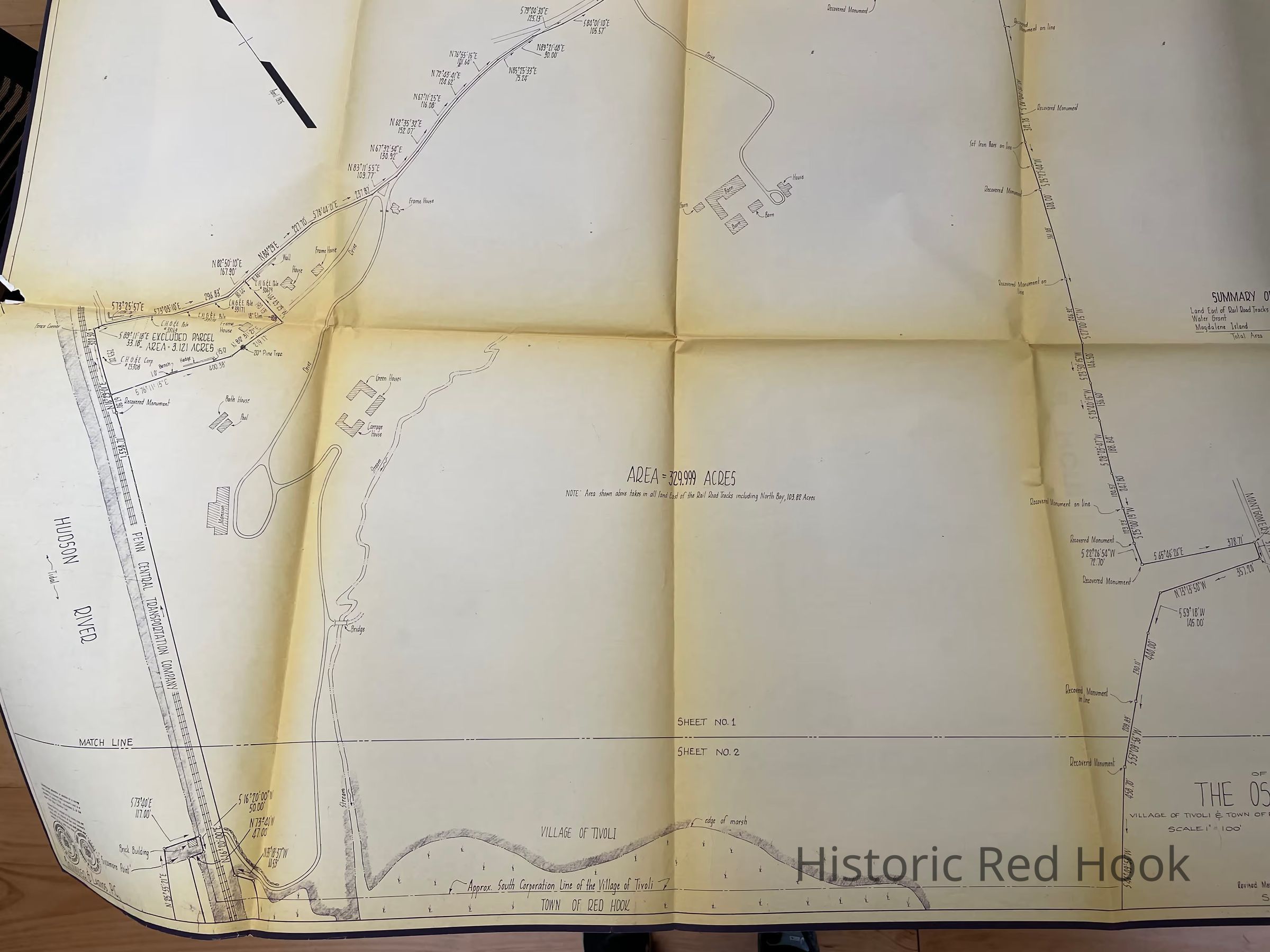
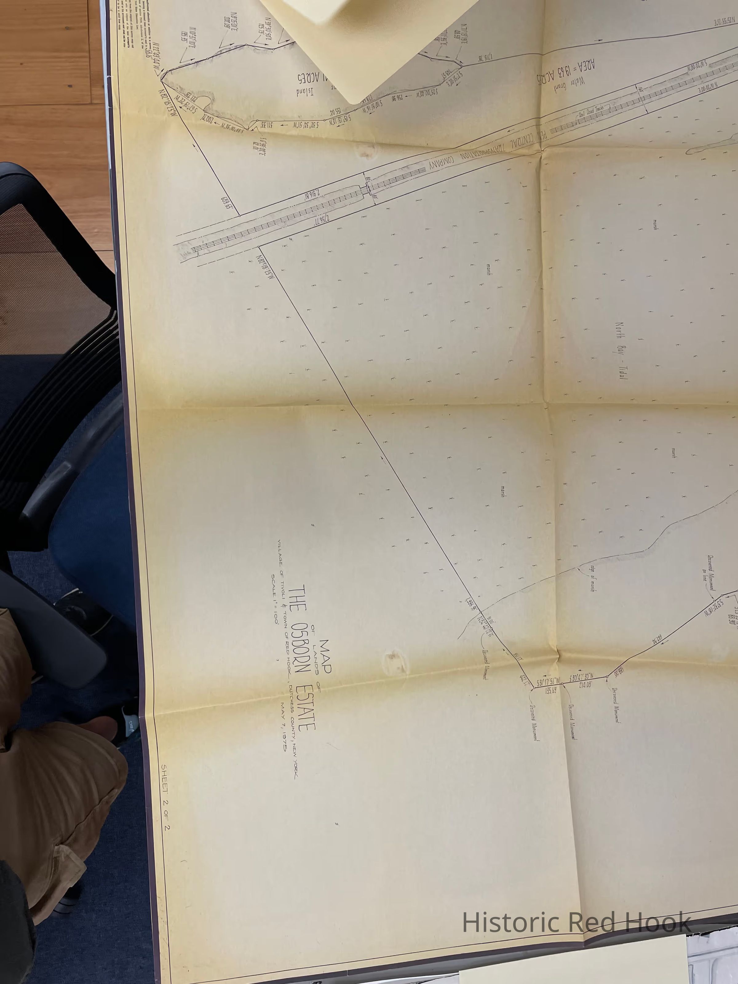
Name/Title
Survey maps of the Lands of the Osborne Estate (Callendar House).Entry/Object ID
2014.002.039Description
Original Survey maps of the Osborne Estate in the Village of Tivoli. Surveyed by Brinnier and Larios on May 7, 1975 and revised in March 1978. The scale is 1" to 100' and the dimensions are 18" x 38"
Other earlier maps are filed under Callendar House (24-11)Collection
Red Hook Maps