Name/Title
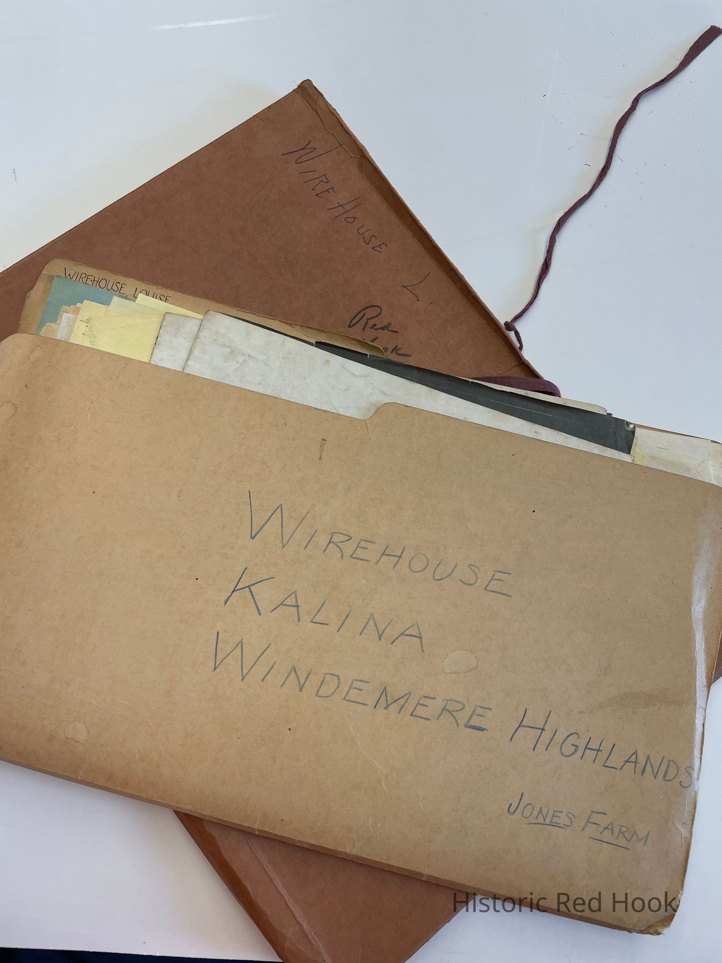
WIREHOUSE, LOUISE Kalina-Windemere Highlands-Jones FarmEntry/Object ID
2016.011.343Scope and Content
Map: Oct 1955 Properties of Wirehouse140.2 acres, Jones154 .23 acres, and Spalina12 36 acres, Kesicke bounded
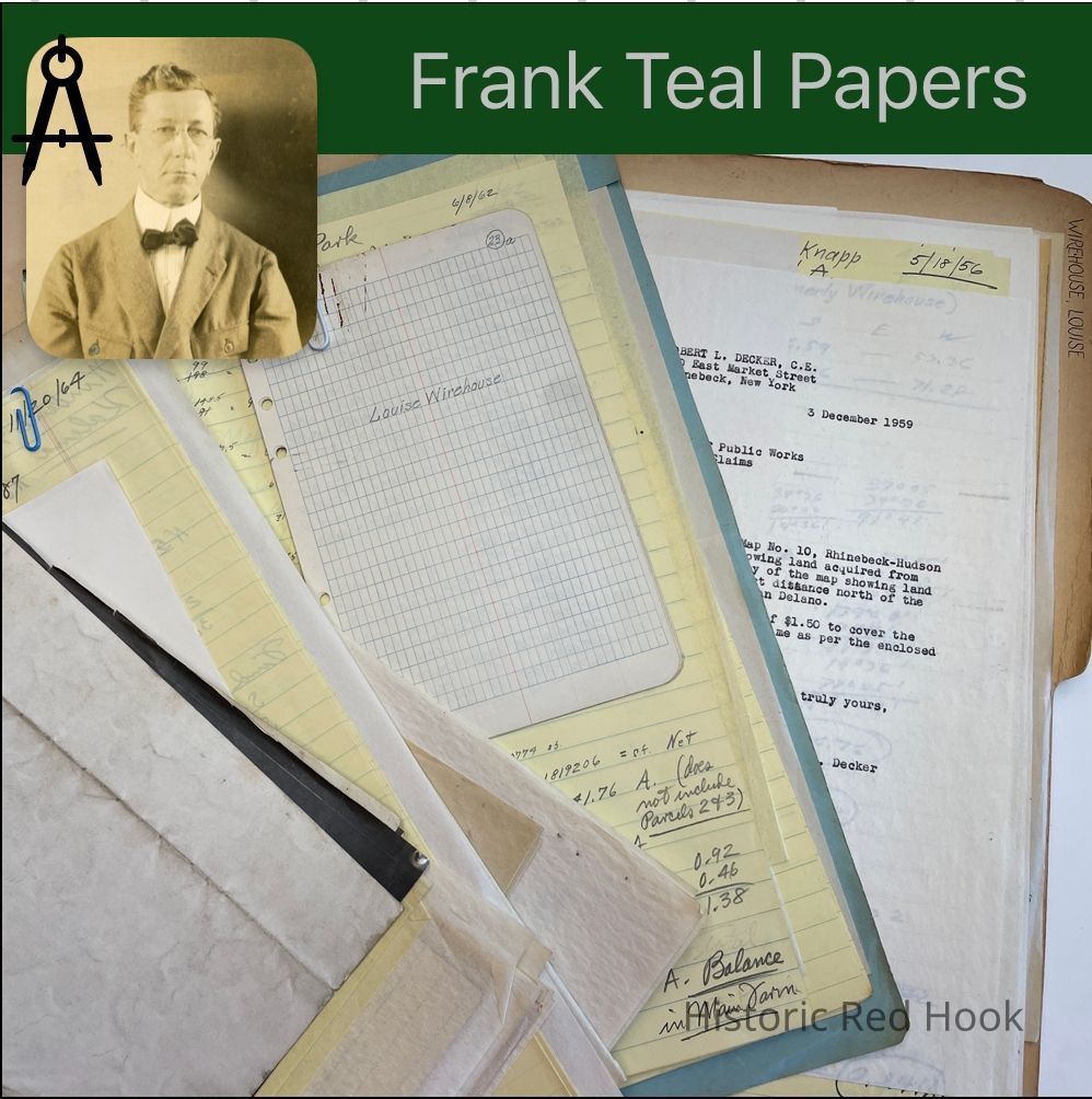
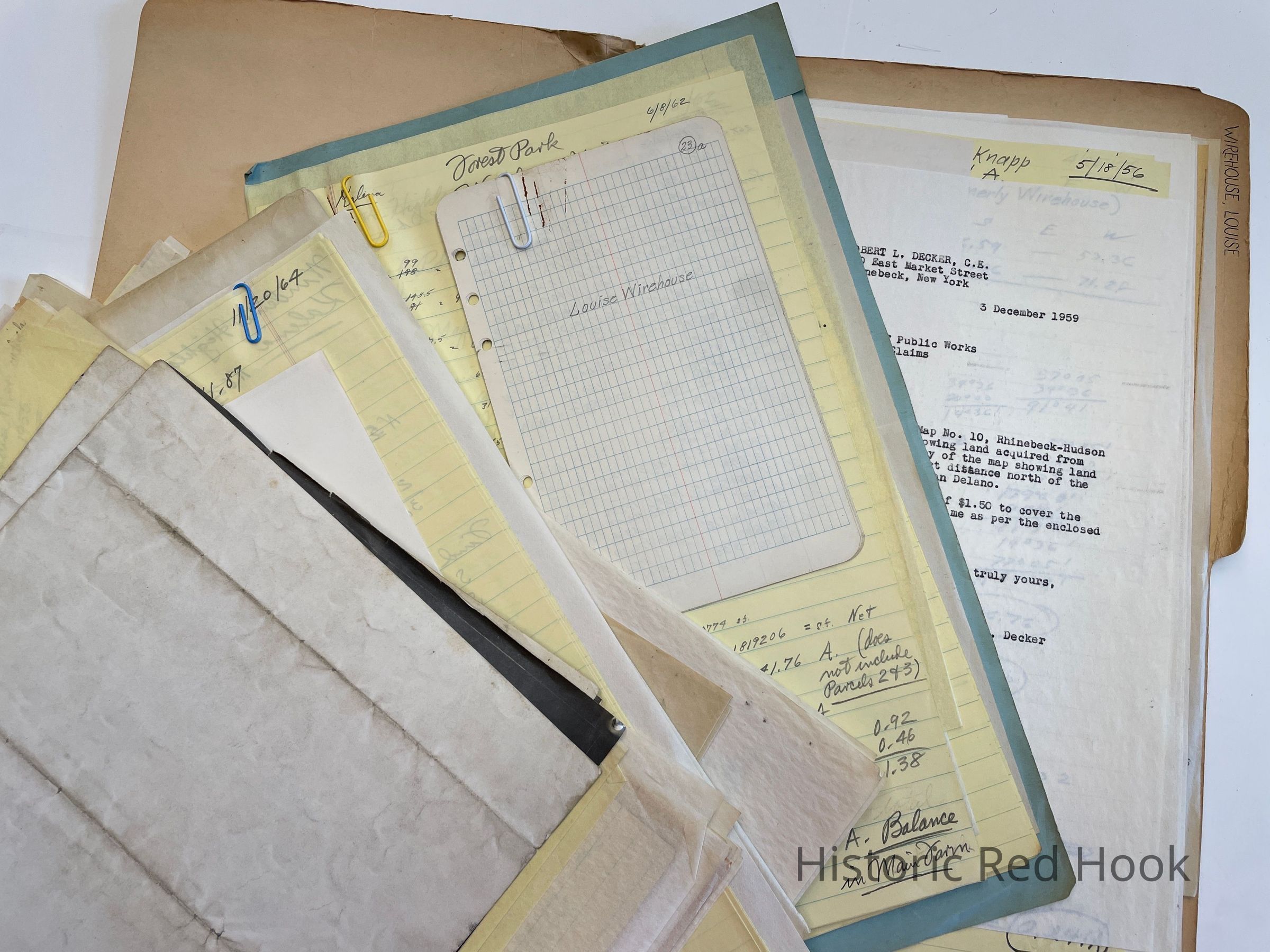
Survey: For Louise Wirehouse May 1955. Parcel from property of H.S. Knapp 0.285 acre
Survey: For Louise Wirehouse May 1955 Property of Louise Wirehouse 2.53 acres
Survey: For H.S. Knapp May 1955. Parcel being property of H.S. Knapp 3.284 acres “Parcel A”
Survey: For h. S. Knapp May 1955 Being property of H.S. Knapp 0.031 acre “Parcl B”
Survey: For Louis & Nathan Kalina Nov 1966, Being portion of Aldrich property 0.218 acre
Field Notes: May 1955 Louise Wirehouse, Red Hook, H.S. Knapp, Rhinebeck; Land on Rte 9G at bridge entrance road. Exchange of land; Also lot on W side of 9G from Ralph Phillips to William Eggleston
Survey: For Windermere Highlands, Inc. Mar 1956. Being property of Louise Wirehouse 142.4 acres
Survey:For Windemere Highlands, Inc. 21 Dec 1964. Parcel from former Wirehouse property of Windemere Highlands Inc. “Well Lot” 5.31 acres
Survey: For Windmill Realty Co. Nov 1965 Parcel of land from Windmill Realty Co. 13.396 acres.
Survey: For Windrow Realty Co Nov 1965 3 Parcels:
West Parcel- 62.96 acres
East Parcel - 16.4 acres
Parcel 3- 0.46 acres
Being all of Lot 1 and the westerly half of Lot 2 of Block C shown on said map.
Survey: For Windmill Realty Co. Jun 21 Jun 1962 13.396 acres
Deed: 980:177 Windemere Highlands, Inc. To Nathan Kalina 0.704 acre 30 Sep 1958
Deed: 1060:256 Windemere Highlands to Samuel Gottleib 16.91 acres 27 Jun 1961. Same as
893:329 Frederick C. Spreeman to Anthony & Amelia Spallina 6 Jul 1955
911:398 Anthony Spallina & wife Amelia to Windemere Highlands, Inc. 27 Feb 1956
Deed: 913:616 Louise A. Wirehouse to Windemere Highlands Inc. 142.4 acres 28 Mar 1956
Survey: 20 Nov 1964 For Windemere Highlands, Inc. 84.17 acres
Forest Park: 18 Mar 1965 -Mortgaged Premisesd
Survey: For Windemere Highlands Inc. 8 Jun 1962 Three parcels. 1st -98.98 acres. 2nd-0.92 acre 3rd 0.46 acre
Survey: For Windmill Realty Co., Inc. 21 Jun 1962 13.396 acres
Map: Properties of Anthony Spallina & Ernest Jones
Map: Property of Louise Wirehouse to Rifle & Pistol Club 18.72 acres
Survey: For Louis & Nathan Kalina May 1961. Parcel taken from former Aldrich property of Louis & Nathan Kalina 0.571 acre
Survey: For Windmill Realty Co., Inc. May 1961 Taken from former Ragonesi property of Windmill Realtty. 4.378 acres
Survey: For Windmill Realty Co., Inc. 8 Jun 1962 parcel 1- 13.61 acres
Survey: For Louis & Nathan Kalina. Jul 1961. Parcel from Former Ragonesi property of Windmill Realty 10.112 acres
Survey: For Windemere Highlands Inc. Nov 1959 Parcel being property of Concetta Ragonesi 14.49 acres. Same as Louise Wirehouse to Concetta Ragonesi 10 Oct 1949
Field Notes: Louise Wirehouse
Field Notes: Aug 1957 Horatio S. Knapp, P.W. Seitz, R.S. Csadenyi
Survey: For Windemere Highlands Co., Inc. “House Parcel” Taken from farm property of Louise Wirehouse 10.0 Acres
Field Notes: Nov 1961 Kalina Bowling Alley
Survey: For Louise Wirehouse. Parcel from NW corner of land 18.72 acres
Letter: 3 Dec 1959 From Robert Decker to NYS DPW
Survey: For Nathan Kalina Jul 1958 Parcel taken from Jones Farm now property of Windemere Highlands Inc. 1.083 acres
Survey: For Louis Kalina 12 Jan 1961 Parcel taken from former Jones Farm now property of Windemere Highlands 0.379 acre
Survey: For Nathan Kalina Sept 1958 Parcel being property of Nathan Kalina 0.704 acre
Map: Property of Nathan Kalina 0.704 acre
Survey: For William Eggleston Aug 1959. Parcel from land of Ralph Phillips .472 acre. Being S portion of parcel of 1.83 acres from Louise Wirehouse to Ralph Phillips in 1949
Letter: 11 Jan 1956 From Halperin et al to Robert DeckerCollection
Teal-Decker CollectionRelationships
Related Person or Organization
Person or Organization
Teal, Frank L.