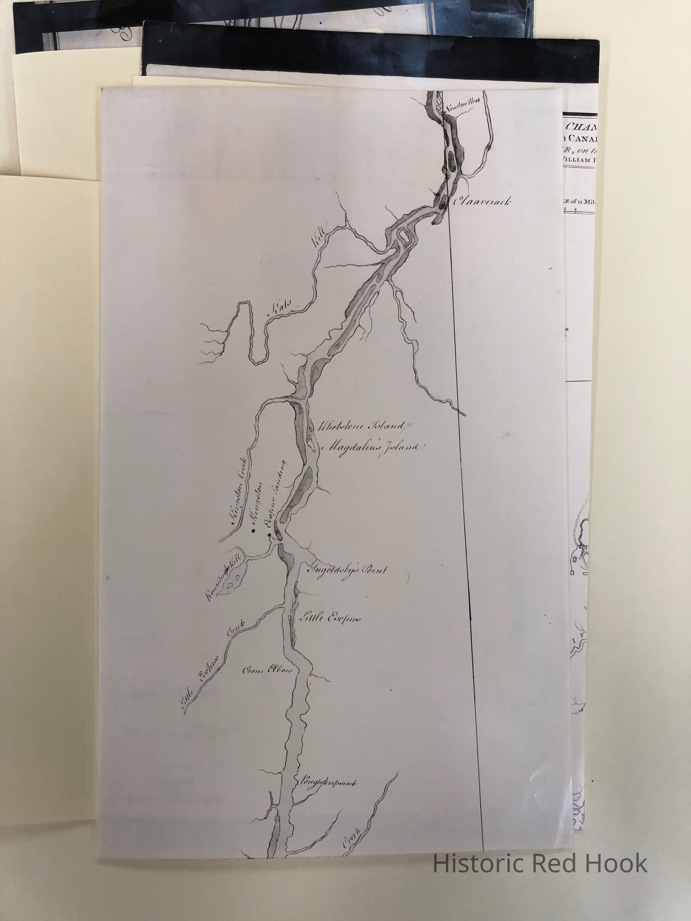
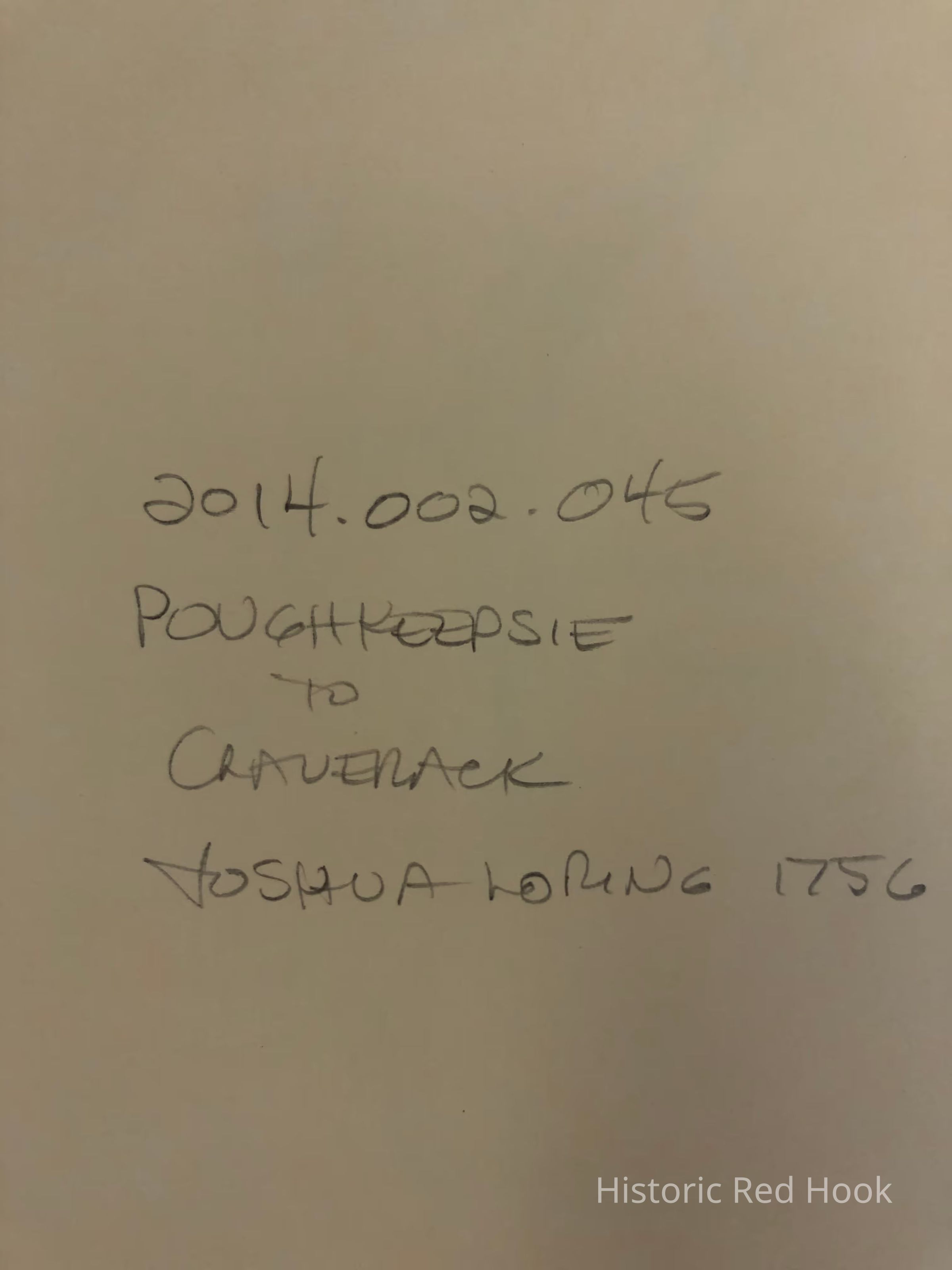
Name/Title
Map of the Hudson River from Poughkeepsie to Claverack, 1756?Entry/Object ID
2014.002.045Description
Photostat of map of the Hudson River, section from Poughkeepsie to Claverack, possibly by Joshua Loring. Magdalen's Island if marked. 1756?
Original NYS LibraryCollection
Red Hook MapsMap Details
Publisher
Joshua Loring(?)