HUB
Collections
Classifications
About
App
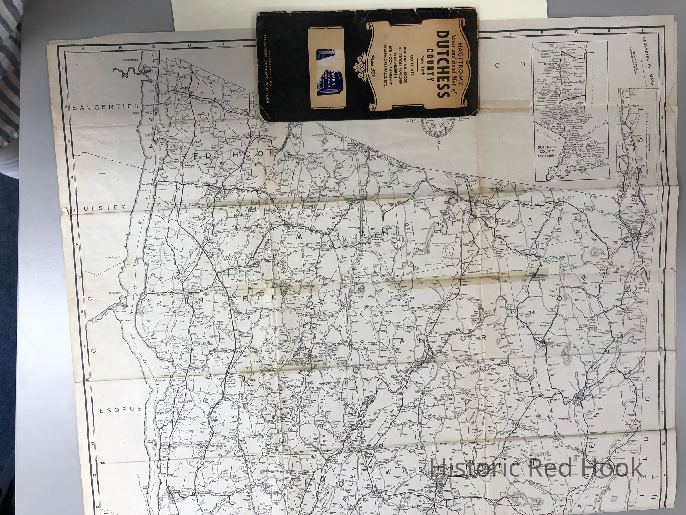
Hagstrom's Street and Road Map of Dutchess County 1920-30 Fold-out map
Map
-
Historic Red Hook
Name/Title
Hagstrom's Street and Road Map of Dutchess County 1920-30 Fold-out map
Entry/Object ID
2014.002.073
Description
Includes names of farms and landowners with acreage numbers
Collection
Red Hook Maps