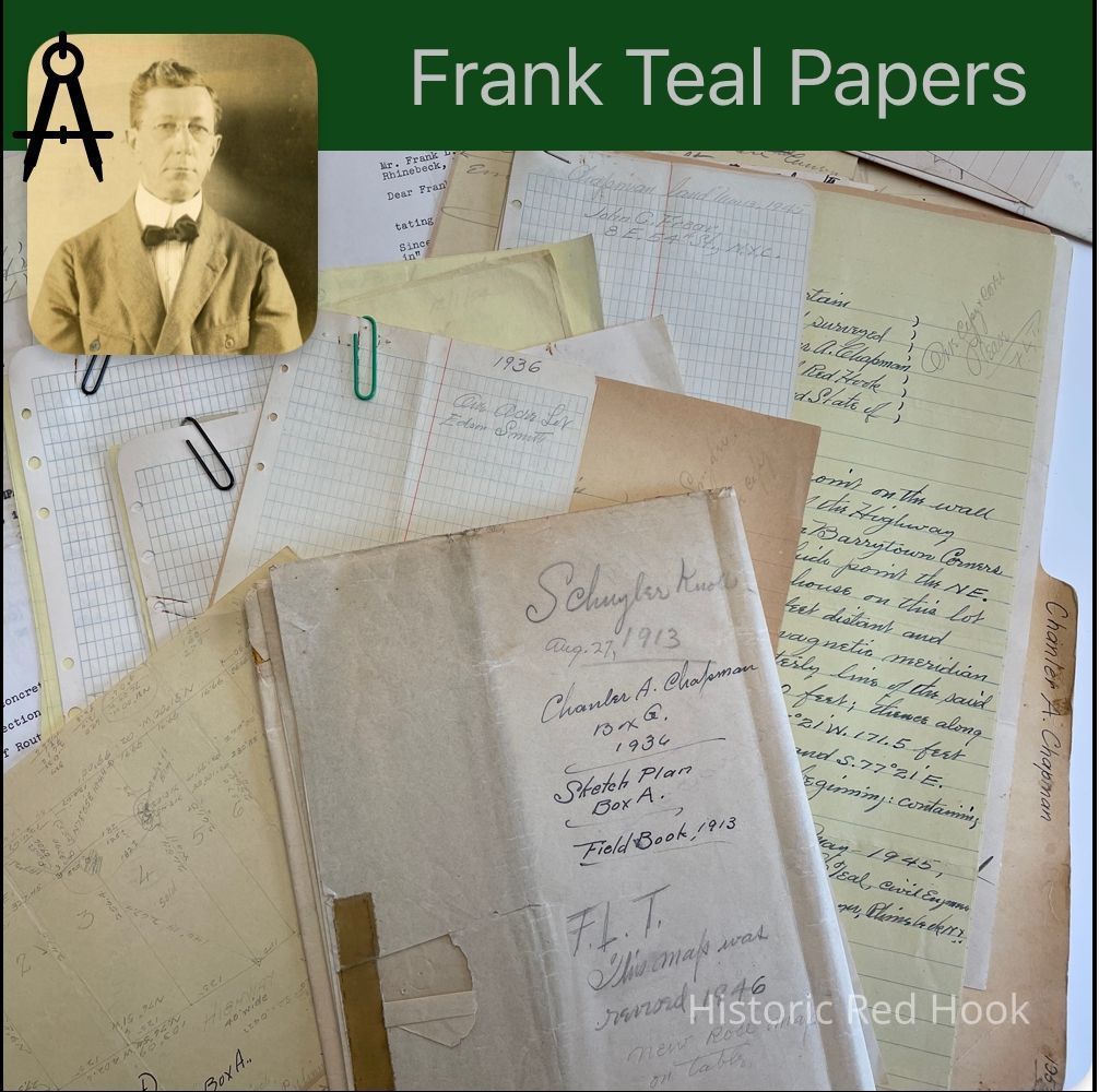
Name/Title
CHAPMAN, CHANLER A. BARRYTOWNEntry/Object ID
2016.011.146Scope and Content
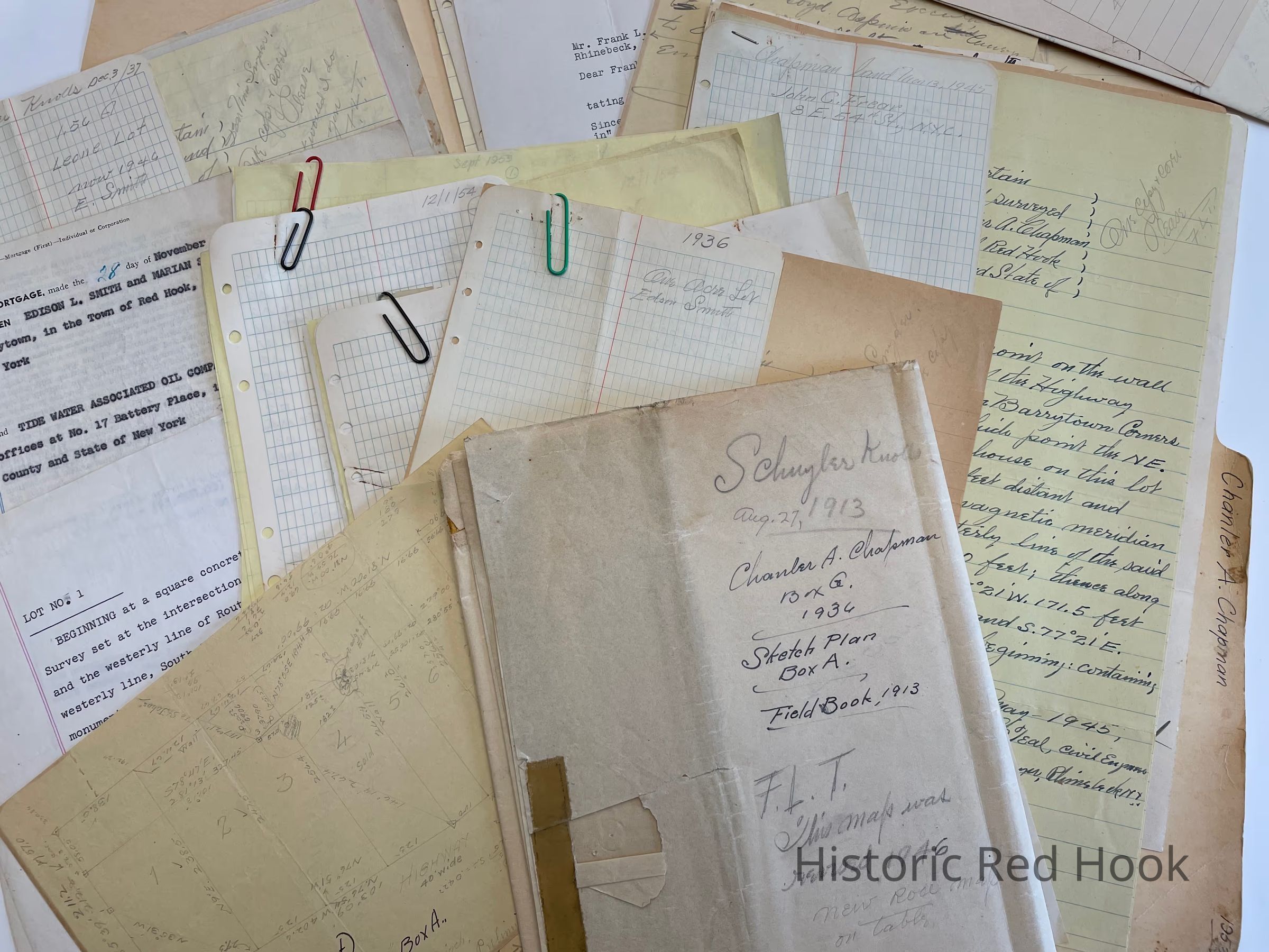
Survey & field notes: Parcel from land of Chanler A. Chapman - 2.274 acres 1946
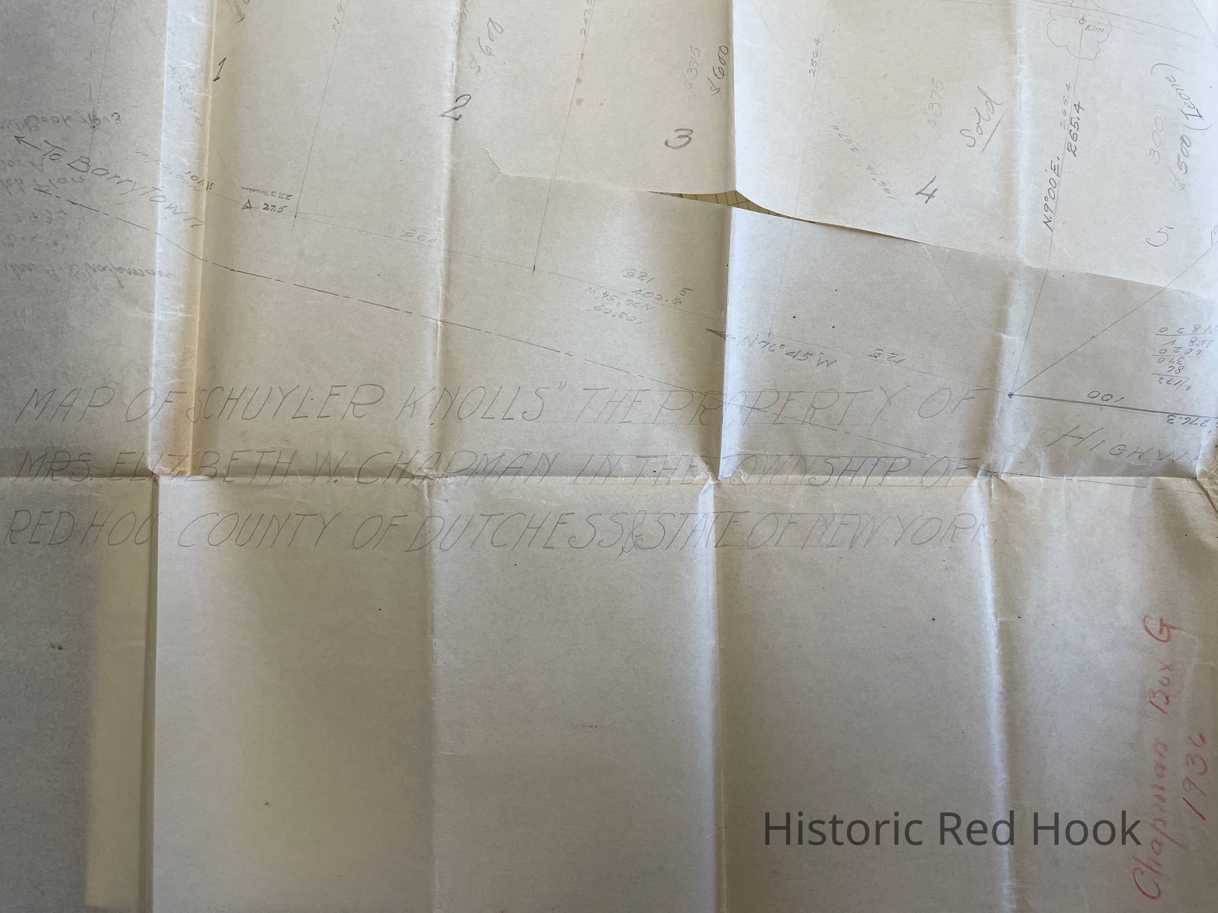
Survey 1937 Parcel of land from tract known as “Schuyler Knolls” now property of Chanler Chapman 1.56 acres
Agreement between Chanler Chapman & Charles Leone July 1937
Map of property above
Lot No. 1- 1950 1.85 acres
Mortgage; Between Edson L. Smith & wife Marian and the Tide Water Associated Oil Co.
Being part of premises of Chanler Chapman. Same as from Chanler Chapman to Edison Smith 12 May 1936 551:440
Field notes for 1 acre lot of Edison Smith for Chanler Chapman & survey
Field notes Chanler Chapman o.786 Acre 1952 & survey
Field notes & Survey for Chanler Chapman Lot #2 1954 2.28 acres
Field notes and survey for Chanler Chapman 1953 2.14 acres. Survey of Red House Parcel, description and setting corners
Maps for Schuyler Knolls 1936 Early plan 1913
Field Notes & Survey 1945 for John C. Frear 1 acre
Anna Cornelia Lawrence To Elizabeth M. Chapman 29 Mar 1910 364:254 38 Acres & Map
Map - Smith lot 1 acre
Survey Bills for 2 parcels: Parcel ! , Corner Lot 0.843 acres
Parcel 2, The Smith purchase
Survey Bill formerly known as School Dist. # 8 0.455 acres 1947 MapCollection
Teal-Decker CollectionRelationships
Related Person or Organization
Person or Organization
Teal, Frank L.