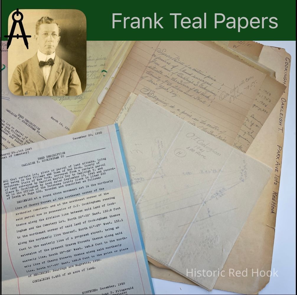
Name/Title
COOKINGHAM, OAKLEIGH T. RED HOOK
PARK AVENUE LOTSEntry/Object ID
2016.011.162Scope and Content
Survey: Oct 1956 for Ernest M. Heppner o.479 acre Lot B (Auchmoody) Being the Southerly halves of Lots 22 & 24 from Oakleigh T. Cookingham & wife Clara E. And Oakleigh T.
Cookingham, Jr to Ernest M. Heppner & Ruth C. Heppner 6 Apr 1955 L885:33
Survey: Oct 1956 for Ernest M. Heppner Lot A. Being the northerly halves of Lots 22 & 24 as described above
Survey: Apr 1954 for O.T. Cookingham 0.459 acres Lot 20, The Fell Lot. Mentions Park Ave. Lot No. 18 now the property of Edgar D. Fisher
Note on Park Ave: Robert Bowman, Edgar D. Fisher, Lloyd W. Hapeman, Peter Kosich, Royden Lasher, Lester D. Price, Murray J. Van Ness, Harold Fell
Field Notes: Jan 1957 O.T. Cookingham. Oakleigh Jr. house lot.
Survey: Jan 1957 For O.T. Cookingham. 4.79 acre . Taken from the former Martin Farm, OT. Cookingham Jr. House Parcel
Survey: 29 Mar 1954 for Elmer Mabie 1.04 acres. Taken from property of O.T. Cookingham
Survey: Jul 1955 for O.T. Cookingham 7.16 acres. Taken from property of O. T. Cookingham, The John Smithers parcel.
Field Notes: O.T. Cookingham: Courses along Henry Best Farm
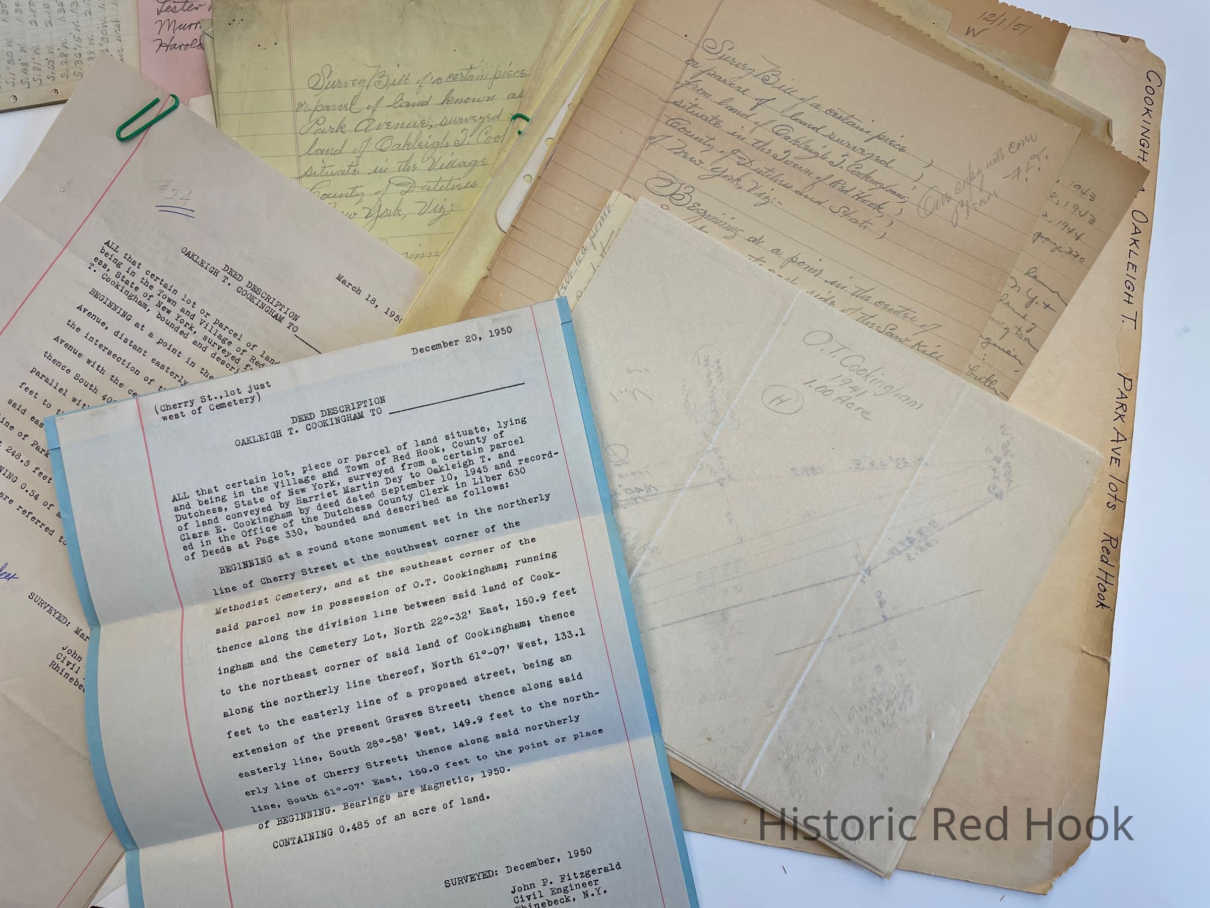
Deed Description: 20 Dec 1950 O. T. Cookingham to __________ (Cherry St. Lot, just west of cemetery. Same as from Harriet Martin Dey to O. T. Cookingham & wife Clara E. 10 Sep 1945 L630:330 0.485 acre.
COOKINGHAM, Cont.
Survey: 18 Oct 1941 For O. T. Cookingham 1 acre. North Broadway.
Deed Description: 18 Mar 1950 O.T. Cookingham to ____________ 0.54 acre. Park and Linden Lot 24.
Deed Description : 18 Mar 1950 O. T. Cookingham to ___________ o.48 acre “ ”
Survey Bills of 7 lots of O.T. Cookingham. Lot numbers not to be mentioned in deeds.
Lot No. 5: 0.574 acres Park & North Broadway
Lot No. 6: 0.46 acres Park
Lot No. 7: 0.574 acres Park
Lot No. 8: 0.46 acres Park
Lot No. 9: 0.574 acres Park
Lot No. 10: 0.46 acres Park
Lot No. 11: 0.574 acres Park
Survey June 1945 for O. T. Cookingham 1.994 acres. Land known as Park Ave
Field Notes: 27 Aug 1952 Benjamin & Dorothy McV. Collins to Louis & Anne Bryant .0574 acres. Lot No. 9 on Park Avenue
Field Notes. Map & Survey: May 1954 Marguerite Arnold 0.824 Acres Mill Road
Deed: O.T. & Clara Cookingham to Oliver E. Rider 28 Dec 1943 L613:330 0.778 acres. Mentions Mill Property
Survey: 7 Oct 1943 for Marguerite Simpson, Parcel from O.T. Cookingham 0.168 acres Mentions East side of Sawkill, Creamery Lot.
Survey: 17 Jul 1943 for O.T. Cookingham 0.859 acre. Northerly portion of farm of O.T. Cookingham (Rider Parcel)Collection
Teal-Decker CollectionRelationships
Related Person or Organization
Person or Organization
Teal, Frank L., Cookingham, O. T.Related Places
Place
Neighborhood
Park AvenueVillage
Red Hook Village