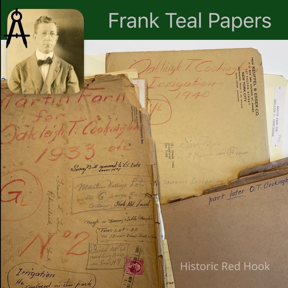
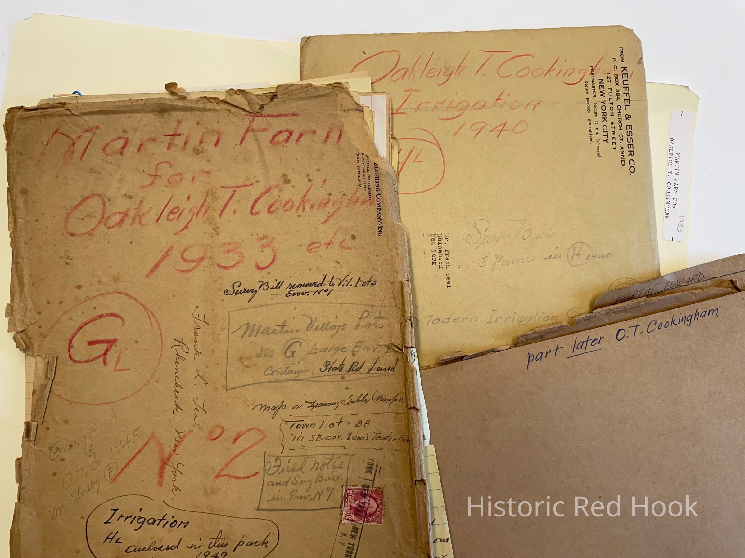
Name/Title
MARTIN FARM, TO O.T. COOKINGHAM 1933Entry/Object ID
2016.011.163Scope and Content
Survey: 17 Jul 1943 for O.T. Cookingham. From Northerly portion of his land 0.778 acre. Mentions Mill property in possession of Oliver Rider, creamery lot
Field Notes: Courses along Best Farm per Giles Cook 1876. Mentions along Sawkill on east line of the said farm conveyed by Sarah Saulpaugh etal to Henry Best in 1884, along Mill property originated by deed of Jeremiah Hendricks to John R. Faure in 1856, Creamery Lot. Map of courses.
Survey: 5 Mar 1934 For O.T. Cookingham 0.465 acre Lot No. 1 (Teator) Mentions N. Broadway, along land of Alvin H. Coon.
Survey: Aug 1934 For O. T. Cookingham 4 lots and easterly portion of proposed Mountain View Avenue. 2 . 5 acres Mentions North Broadway, along land of Alvin H. Coon
Courses: 5 Feb 1946 Park Avenue 1.994 acres.
Map Field Notes and Survey: Sep 1958 Of property of Paul & Katerine Orlosky, taken from property of O. T. Cookingham 0.878 Acres along Mill Road.
Irrigation: Survey bills for portable irrigation Systems 1940
Survey, Map & Field Notes: 22 Jul 1944 For O. T. Cookingham 0.384 acres. Mentions Waltermeyer Lane, land formerly of Michael Crockwell, now Teator.
Field Notes: 21 Sep 1940 Cookingham & Teator
Survey: 21 Sep 1940 For Feller Bros. Parcel taken from land of John & William P. Feller. 0.35 acres. Mentions adjoining land of O. T. Cookingham.
Survey: 21 Sep 1940. For Estate of Louis A. Teator 1.77 acres. Mentions adjoining land of O.T. Cookingham & John & William P. Feller.
Survey: 21 Sep 1940 For O.T. Cookingham 0.91 acres. Mentions Sawkill.
Courses: on Linden Avenue 1928
Survey: March 1934. 4 Lots upon land of O.T. Cookingham
Lot 1: North Broadway 0.465 Acres
Lot 2: “ ” “
Lot 3: North Broadway and (Mountain View) Park Ave. 0.577 Acre
Lot 4: 0.678 Acres
Survey: 18 Nov 1941 2 Lots for O.T. Cookingham
Lot 2: West side Post Road 0.46 acre. Mentions Lewis W. Dillman
Lot 3: Beg. NE corner of Lot 2 0.46 acres
Survey: 11 Oct 11 1945 Lots for O.T. Cookingham
Lot 4: West side of Post Rd. 0.46 acre
Lot 5: West side of Post Rd. O.46 acre
Survey: 23 Sep 1939 for O.T. Cookingham
Beg. NE corner of 1 acre lot conveyed by George Cotter et al to Lewis W. Dillman 0.46 a
Survey: 16 Apr 1946 for O.T. Cookingham
West side of Post Rd. 0.413 acre
Map: of Survey for Massonneau 1931 61.4 acres
Survey: Farm, Late property of Edward Martin Dec 1933 & Jan 1934 269.3 acres
Mentions: East line formerly property of William Chamberlain and late property of Leon C. Shelley, dec.; Easterly bounds of Best Farm, formerly Abraham Staats & east line of said farm as conveyed by Sarah Saulpaugh et al to Henry Best in 1884; along Mill property along boundry line originated by deed of Jeremiah Hendricks to John R. Faure in
1856; to SW corner of same parcel; East side of Sawkill on the S line of formerly the Creamery Lot, now property of Samuel Best; dwelling house of Michael Crockwell; to SW corner of property of Mrs. Ina Aucock; to center of Martin Lane, so called, formerly known as Waltermire Lane; westerly edge of Sawkill on the North line of land owned by estate of Louis A. Teator dec.; junction of walls at formerly David Wager’s land; to a point on the west side of the cemetery at the NE corner of Lot #8 of a range of village lots laid out on the northerly side of Cherry Street
Map: of the above tract of land, formerly the Martin Farm
Field notes & Survey 6 July 1951 Robert Decker: Street extension North of Cherry Street, continuation of Graves Street.
Survey: Apr 7-8 1931 Lot # 1 in a range of Village lots laid out on land of Edward M. Martin. Surveyed for William S. Massonneau
Deed: Copy: Jeremiah Hendricks & wife Eliza C. To John R. Faure 24 Aug 1858 L112:138 Parties have exchanged lands, consequent upon alteration of highway. Not Recorded Map on back. Note: J. Hendrick Martin was father of David Martin and Gotlob Martin Will P.34 1786
Lease: Copy Jacob TenBroeck to Hendrick Martin, John VanNess joins in it. 30 Mar 1770 Not Recorded
Deed: Frederick Moul & wife Mary to Jacob Moul 30 Apr 1792. Same as conveyed by Lodawick Elseffer & wife Susannah to Frederick Moul 1 May 1786. Mentions Johannis Hevennor and Cornelius Swart, Johannis Valentine Bender, Abraham VanKuerens, Mudder Kill. 5 acres Not recorded
Deed: Copy Not recorded: Sheriffs Deed. Henry Roschrans, Jr. High Sheriff to Clement Overbach. Endorsed on bottom of instrument is assign from Overbach to Gotlob Martin
Lease: Copy Not Recorded: Hendrick Marte to William Siemon. 5 acres being part of a tract of 116 acres from Henry Beekman to said Hendrick Marte 1 May 1751
Deed: Copy 1 Feb 1856 L105:619 Jeremiah Hendricks & wife Eliza to John R. Faure. Mentions changing the course of the Sawkill.
Deed Copy: 9 Jul 1851 Richard Martin to Edward Martin L94:596 135 Acres & woodlot of 8 acres.
Deed Copy: 15 Jun 1843 John Elting to Augustus Martin 85:25 Quit claim releases ground rent.
Deed Copy: 7 Jan 1867 Augustus Martin to Edward Martin 138:32 Cov. Against Grantor
Deed Copy, Sheriff’s deed: to Margaret Faure 24 Oct 1848 L88:53 Action to foreclose a mortgage. 2 lots 1st 1 acre, 2nd 23 acres. Mentions trustee of Catherine Fulton, wife of Henry R. Fulton, Cambridge and Henry H. Fulton, def.
Deed Copy: 4 Apr 1851 Catherine Martin to Margaret Faure L94:265 Cov. Vs Grantor 8 acres
Deed Copy: John D. Martin to Edward Martin 24 Dec 1878, Not recorded: Mentions Henry G. Martin & wife Hellena of Middlesex NJ, Isabella Martin mother of Henry G. And Grandmother of John D. Martin
Deed Copy: Quit Claim 31 Oct 1854 Wm. A. Brown & Margaret G. His wife being great granddaughter of Gotlop Martin to Edward Martin L103:136
Deed Copy: 30 Apr 1856 Frederick B. Schultz, David W. Carroll, David Waldenmyer Jr. Ex. Of David Waldenmyer To John R. Faure 24 acres +
Deed Copy: 1 Apr 1847 Catherine Martin, widow of Jacob and Beatta Martin, infant daughter to
Margaret Faure. 96 acres+
Deed Copy: 1 Sep 1851 Michael S. Martin & wife Sarah to Margaret Faure 8 acres.
Deed Copy: 10 May 1797 Aken (Notig-----) & wife Baly Whiteman to Henry Martin and Da(rest torn off) Martin. About 1 acre. Not recorded
Lease Copy: 30 Dec 1766 David Fiere to Henry Marten
Lease Copy: 15 Jul 1765 Christian Fiere(Fuore) to Henry Martin. Mentions Johannis Lown, Jacob Simon
Deed Copy: Not recorded: Michael S. Martin to John Martin. Wood lot in Milan formerly belonged to Elijah Roe, Jr. from his father Elijah Roe, part of farm sold by Roe to Aaron Tompkins.
Deed Copy: 29 Jun 1818 Peter G. Sharp to Gotlop Martin 3/4 acre
Lease Copy: 1 May 1756 Henderick Teeter to Henderick Marten. Same as lease from Barent, Peter, Jacob & Abraham VanBenthuysen on 1 Sep 1748 to Henderick Teeter 88 acres.
Lease Copy: From VanBenthuysens to Teeter.
Bargain & Sale Copy: Benjamin Van Steenburgh Jr. To Henry Martin 30 Dec 1766 Not Recorded: David Martin one of the devisees of Hendrick Marten for 5 shillings assign to Gotlob Martin my share dated 22 April 1794.
Lease Copy Assign 26 May 1764 Henry Scherp & Miggel Scerp to Hendrick Martin 60 acres for 74 years.
Deed Copy: 1 May 1799 From Myndert Mynderse & wife Sarah to John Martin 75 acres+ Excepting 30 acres from a lease of Samuel Elmendorf to Myndert Mynderse and from him to John Martin. Also 3 acres from Nicholas Heermand to Philip Staats 16 Aug 1784 ALSO 11 acres+ bounded by David VanNess
Will: Isabella Martin 1833.
Children: Michael S.; James F.; Claudius G.; Martin, Henry G.; Augustus, Edward, Joseph. Daughter Serena
Children of John I. Martin dec’d-Anna Serena Russell, Walter S. Martin, Richard Martin, Margaret Gertrude Martin
Lease: Henry Beekman to Henry Marte 18 Jan 1781 Not Recorded 116 Acres+
Lease: Henry Beekman to Christian Becker 1 May 1751 Not Recorded. Mentions “Dirty marsh of 10 acres. Hand written notation of F. Teal-”This covers land north of the Moul Farm and comprises Lot # 1 of the George and Frederick Cramer land of 1801 and the Village as far north as Cherry Street and east to the Christian Allendorph Farm also the church land and the Cramer Vly.
Quit Claim; 31 Jul 1860 Frederick Barringer to Edward Martin L118:137 Triangular plot of land west of the Post road and North of the village 1/8th acre. Handwritten note of f. Teal-” F. Barringer Land, Tobias Teller 1837.
Deed: 24 Apr 1794 David Martin to Gotlob Martin David signing off of land of father Gotlob Martin.
Mill Road: Certified copy of order of laying out new Mill Road 1855
Mill Road: “ ” “ ” “ Revised 24 Aug 1858
Will: Catherina Shewmaker ( Mother-in-law of Gotlob Martin) 12 Dec 1786
Will: J. Hendrick Martin 29 Apr 1786
Survey: 7-8 Apr 1931 No 1 in range of Village Lots out of farm of Edward M. Martin, surveyed
for William Massoneau. Beg at N line of Cherry and E line of North Broadway, along east side of N. Broadway, then along W line of thereof to N line of Cherry , thence along that line to beg.Collection
Teal-Decker CollectionRelationships
Related Person or Organization
Person or Organization
Teal, Frank L., Cookingham, O. T.Related Places
Place
Property
7605 North Broadway, 7540 North BroadwayNeighborhood
North BroadwayVillage
Red Hook Village