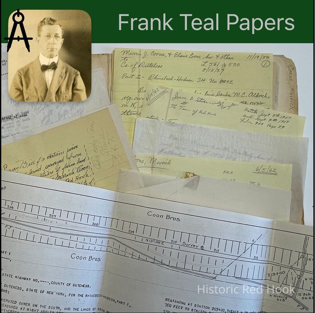
Name/Title
COONS, MERRICK BARRYTOWNEntry/Object ID
2016.011.165Scope and Content
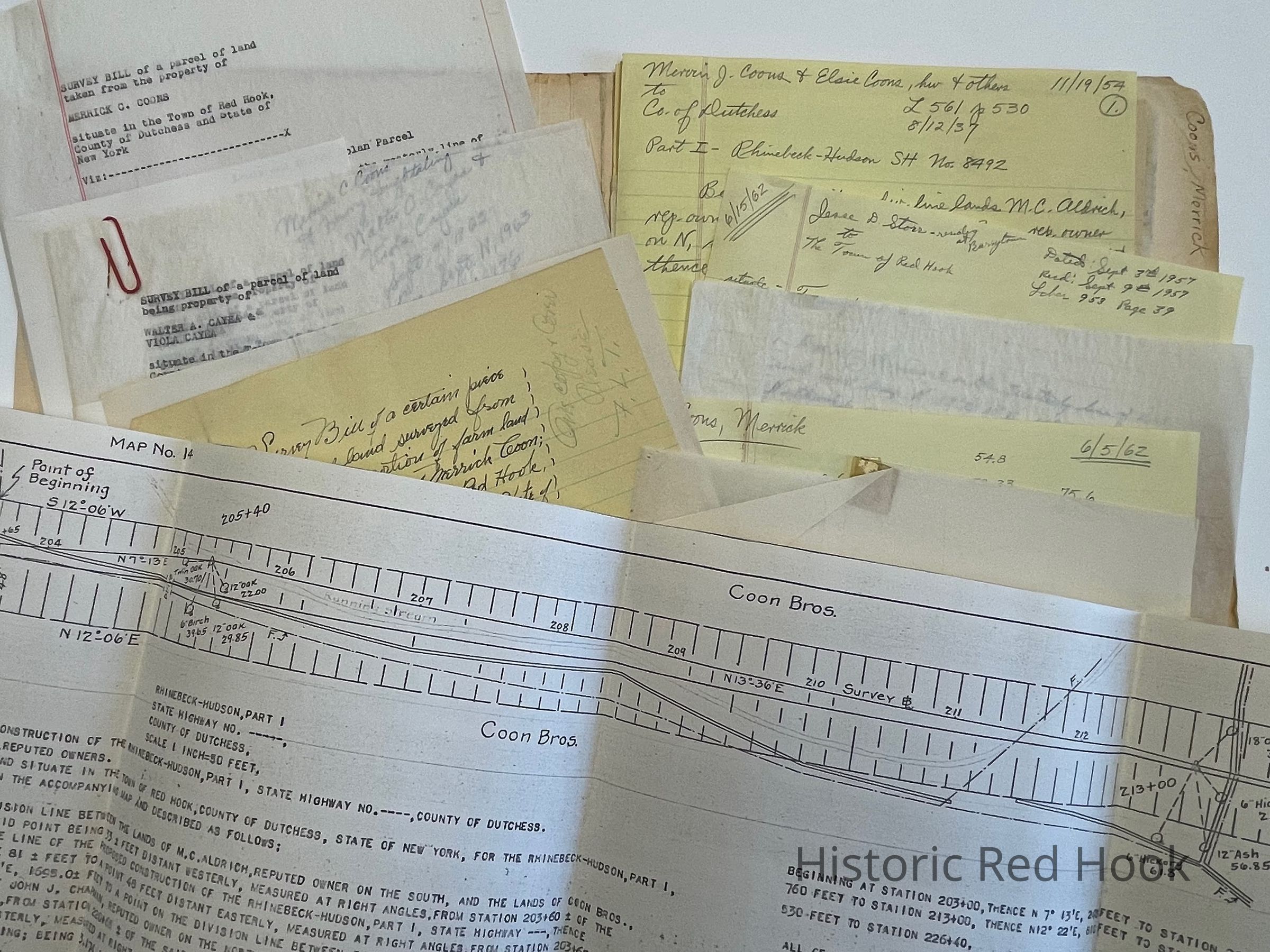
Field Notes & Map
Survey: Parcel from North part of farm of Merrick Coon for Merrick Coon 23 Jun 1947 0.94 Acre
Field Notes for Merrick C. Coons, Barrytown, Parcel on 9G 1954
Survey: Property of Walter A. Cayea & Viola Cayea 1965 0.692 Acre.
Being same asMerrick C. Coons and Harry Houghtaling to Cayea 9 Sep 1963 1109:76 also 0.216 Acre Oct 17, 1963 L1111:890
Survey: From property of Cayea to Dolan. 0.201 Acre
Survey: Parcel of Cayea 0.476 acres
Survey: Additional Cayea Parcel 0.417 Acre
Survey: Taken from property of Merrick C,. Coons May 1959 “Louis & Helen Dolan Parcel” 0.416 Acre
Survey: Parcel from property of Ruth E. Houghtaling and Merrick C. Coons; 11.206 Acres. Being taken from land conveyed by Elsie J. Coons to Houghtaling and Coons 19 Apr 1944 L615:370
Map: Part of state highway through property of M. Aldrich and Coon Bros. 1935 Map #14
Survey: Parcel from farm of Coon Brothers near Barrytown 10 Jan 1940 for Charles Roff 3.15 acres with map
Survey: Parcel from S portion of land of George Groves 20 Mar 1946 for George Groves 0.701 acre
Survey: From SW portion of farm of Mervin J. Coons and Ernest Coons 31 May 1927 1 acre for the Coon Bros.Collection
Teal-Decker CollectionRelationships
Related Person or Organization
Person or Organization
Teal, Frank L., Coon Brothers