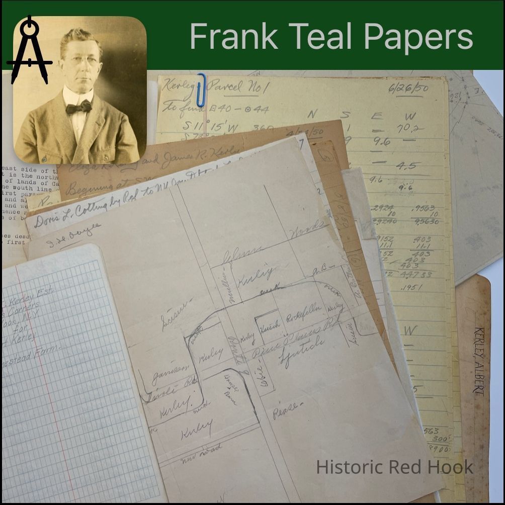
Name/Title
KERLEY, ALBERTEntry/Object ID
2016.011.228Scope and Content
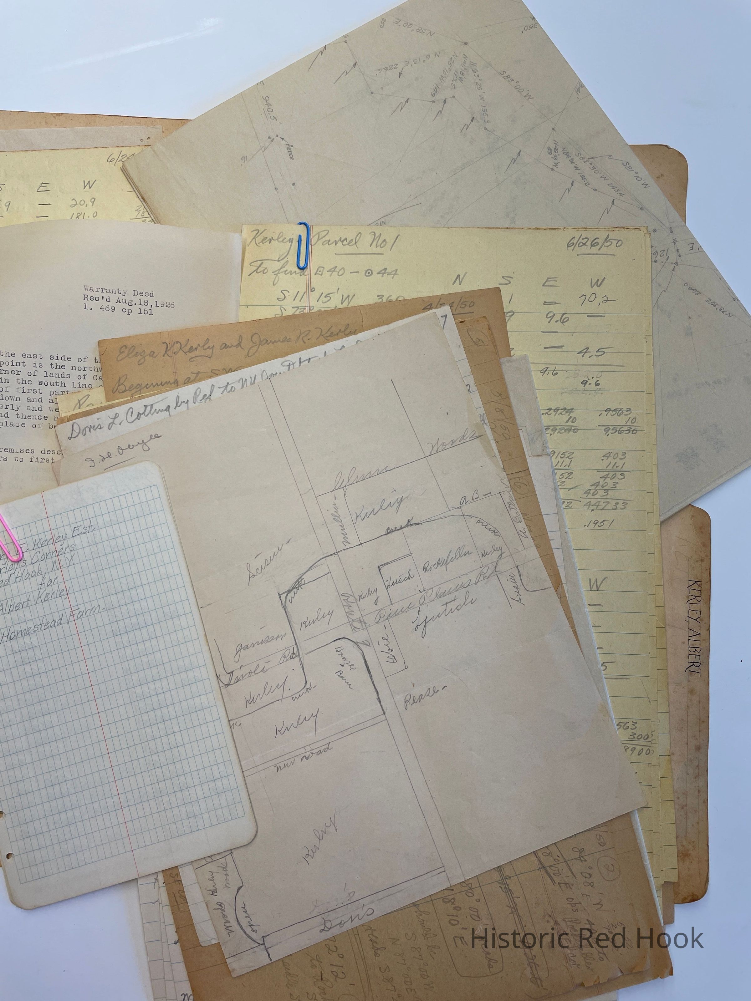
Survey & Map: 24 June 1950 - Two parcels from Mary E. Kerley to Elizabeth M. Heisch 649:90 & 667:163 0.329 acre
Field Notes & Map: Albert Kerley Sidewalk in Village
Description: Myron Scism & wife to Louis H. Scism 686:23 16 acres. Same as from Elmer & Wesley Scism, heirs of George Scism to Myron Scism 14 Dec 1906 350:475. Also Herbert Potts to Myron Scism 80 acres.
Field Notes. Mary E. Kerley Estate for Albert Kerley- Homestead Farm
Survey: Doris L. Cotting by Ref. To NY (Joint?) Stock Land 533:127 104 acres. Mentions David Wakeman’s SW corner, land of heirs of late Hendrick Benner, Janet Heermance line
Description of Kerley property:
Mary E. Kerley to County of Dutchess for Highway 489:89
Mary E. Kerley to Town of Red Hook 12 Aug 1907 355:93. For highway
Eliza K. Kerley & James R. Kelly and Adaline Benner. Mtg. 3 lots
1st- 39-2-19
2nd-35-3-13
3rd-3-2-0. Being Homestead Farm of part of 1st part same as from Sarah A. Kerley 30 April 1856 106:569
Sarah A. Kerley to Eliza K. Kerley. 9 acres Being woodlot from George C. Hoffman to Sarah Ann, John D. & James Kerley 4 Dec 1851 95:424. Also undivided 1/3 part 7 acres, 33 roods as from John H. Coon to Sarah Ann, John D. & James Kerley 12 Apr 1852 99:442
Eliza Ann Moore to James R. Kerley 3 ½ acres . Same as Adam Lowks & wife Christina to Eliza Ann Moore 7 Jan 1947 115:326
Mary E. Kerley to John Mullin 18 Aug 1926 469:151 5 acres
Description: Philip J. Rockefeller to Mary E. Kerley 645:16 . Same as J. R. Kerley to Mary E. Kerley 10 June 1890 250:285
Field Notes: 24 Apr 1950 Eliza K. Kerley & James R. Kerley 39 -2-19 & 35-3-13
Parcel 4- No acreage given. Parcel 5 7.8 acres Parcel 3 no acreage given. Description: James R. Kerley to Michael Garrison 128:52 1 ½ acres. Parcel 2- 13.7 acres; Parcel 1- 21.1 acres
Map: Mary E. Kerley Farm 24 Apr 1950Collection
Teal-Decker CollectionRelationships
Related Person or Organization
Person or Organization
Teal, Frank L.