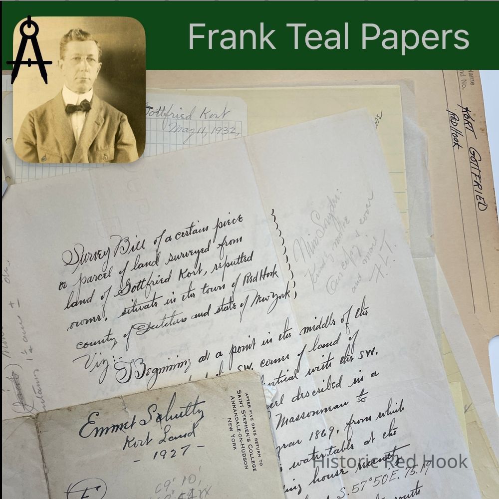
Name/Title
KORT, GOTTFRIED RED HOOKEntry/Object ID
2016.011.235Scope and Content
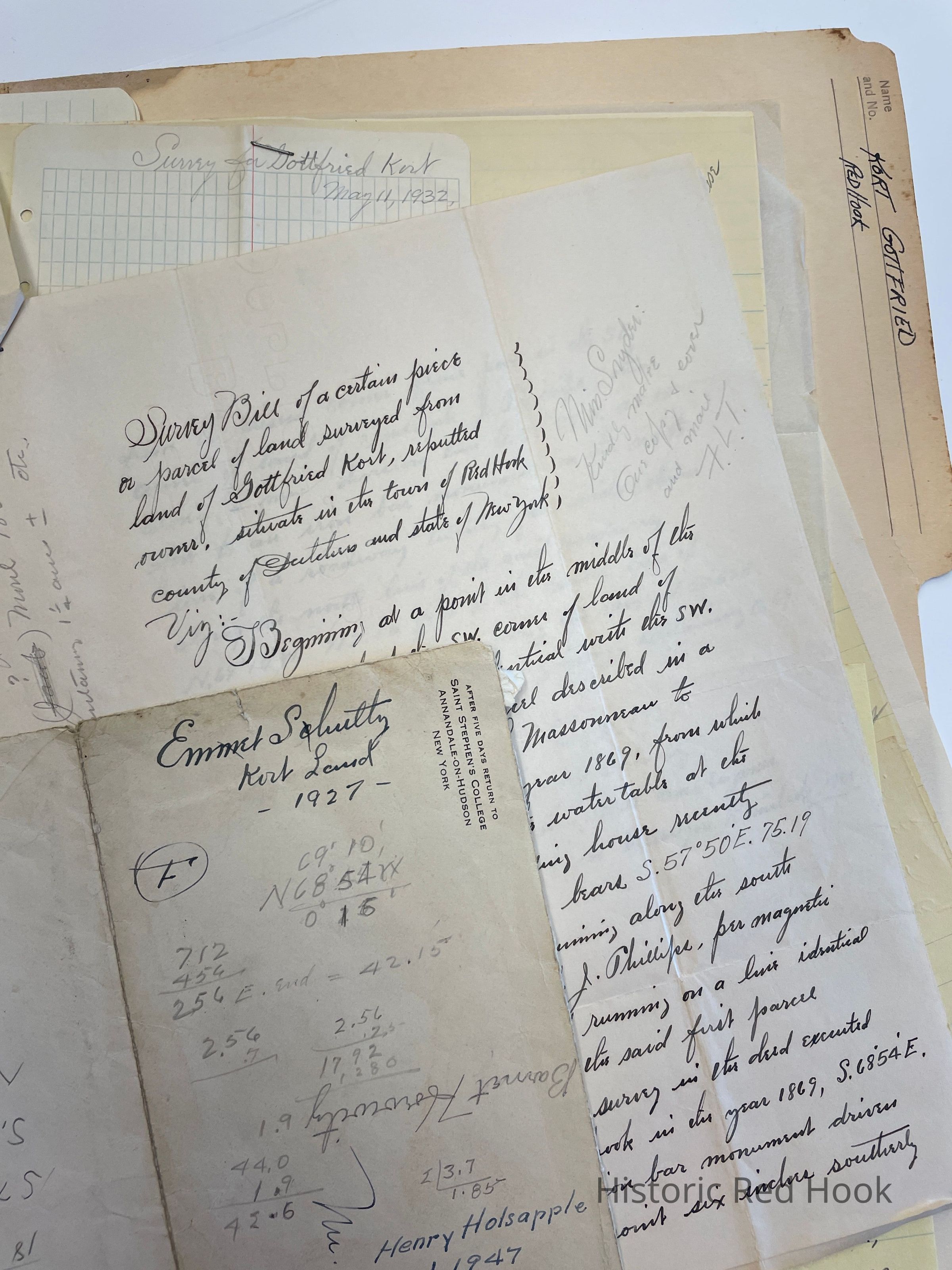
Survey & Map: For Myron Finkle 11 July 1941: 1 acre
Field Notes & Survey: For Henry Holsapple 18 July 1947: 0.444 acre (Ernest Schultz). Bounded by Formerly Fred Phillips and John Coon
Survey: For Mrs. Gottfried Kort 12 Aug 1935. From westerly portion of farm from Julius M. Moul to Gottfried Kort in 1918. 0.25 acre.
Survey: For Emmet Schultz 31 May 1927 0.69 acre. Parcel from land of Gottfried Kort. Note: This strip of land containing 1 acre was deeded by Geo. C. Hoffman to John or William Moul 1839 +/- in exchange for another parcel containing 1 1/4 acre. Another notation: Jacob
Frederick (1801)
John Philip
William Frederick Peter
Julius Elizabeth
Frank Lewis
Julius
Survey & Map: For Gottfried Kort 11 May 1932 8.58 acres. Bounded by Emmet Schultz (formerly Frederick J. Phillips), Leon C. ShelleyCollection
Teal-Decker CollectionRelationships
Related Person or Organization
Person or Organization
Teal, Frank L.