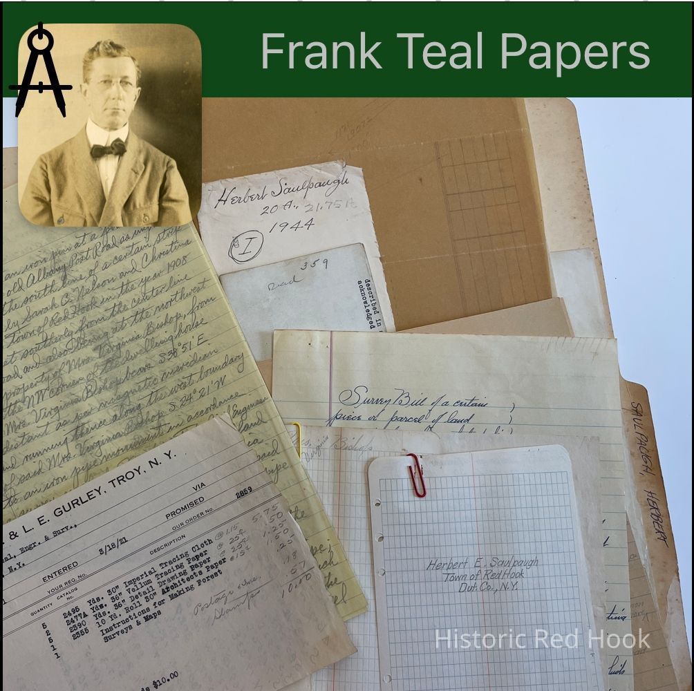
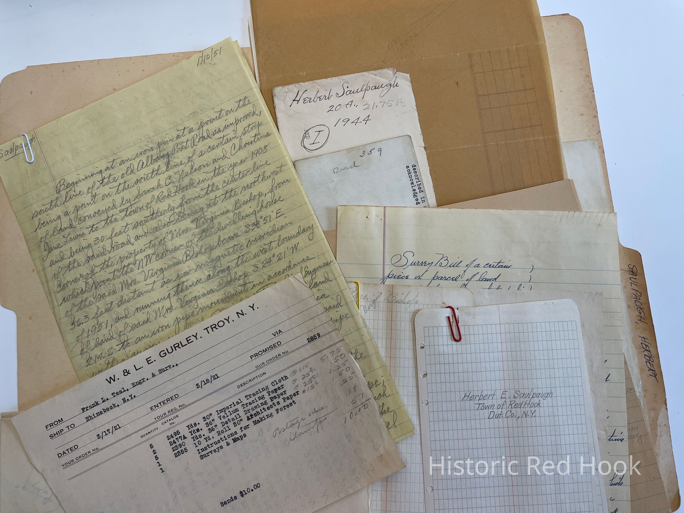
Name/Title
SAULPAUGH, HERBERT UPPER RED HOOKEntry/Object ID
2016.011.347Scope and Content
Map: Details of survey
Survey: 2 Jan 1951 2.85 acres
Field Notes; Herbert E. Saulpaugh
Letter: 19 May 1931 From Harry Arnold to Frank Teal
Field Notes: Virginia Bishop
Survey: 20 May 1931 Parcel from westerly portion of land of James Rifenburgh 1.43 acres Courses along East line
Deed: (Original) Herbert Saulpaugh et al to Grace S.H. Thomas 18 Jul 1934 539:359 136 acres. Description from deed from George Heermance and Nathan Beckwith, Exec. Of Simon Heermance 4 May 1837 65:464
Map: Properties of Swart to Nelson, Myers to Nelson, Elting to Nelson, Allendorf to Nelson Deed: 2 Apr 1933 Herbert Saulpaugh & County of Dutchess and NYS. For reconstruction of Rhinebeck-Elizaville Highway
Map: Herbert Saulpaugh from Fred Sturges Survey
Map: Herbert Saulpaugh from Robert Decker 2 Jan 1951
Map: Wilsey Land & Frank AmetranoCollection
Teal-Decker CollectionRelationships
Related Person or Organization
Person or Organization
Teal, Frank L.