Name/Title
SHELLEY, LEON RED HOOK VILLAGEEntry/Object ID
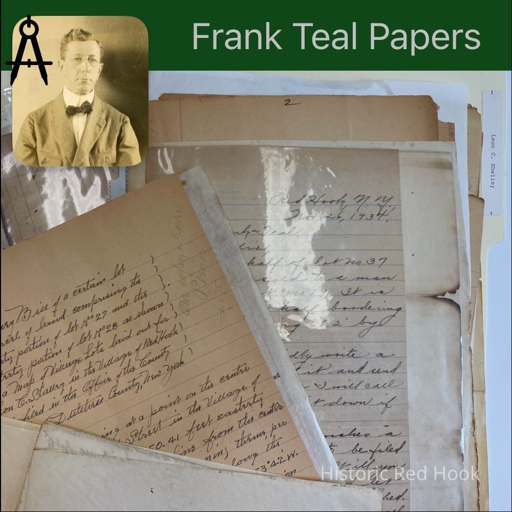
2016.011.357Scope and Content
Map: "Part of Maizeland- small lot. (Badly burned.)
Letter: 13 Jul 1943 From William Walsh to Frank Teal
Survey: For Estate of Leon C. Shelley 1935. Northerly portion of tract from Mary H. Timpson to Lawrence Timpson in 1900 & now part of Estate of Leon Shelley 72.05 acres Map: Of Shelly Lots. (Badly burned, did not open)
Survey: (Only 2nd page, badly burned) For Ralph P. Anderson Sept. 1928 88.4 acres Map of acreage also badly burned.
Letter: 2 Aug 1938 From Benson Frost to Frank Teal
Map: Intersection of Fraleigh & Phillips Street
Survey: No. 7 21 Jan 1929 (Burned)
Map: (Burned Condition) Of Village Lots laid out for Leon C. Shelley Jul 1928 Map: Section II of John Coon Land, East of Post Rd. & S. Of RR.
Letter: 12 Mar 1939 From Elizabeth Shelley to Frank Teal
Map: Lots 34-35-36, subdivided into two lots 1947
Map: Rea Lots 1/10 acre and 1.27 acre, East of Post Road and N. Of RR> 1938 Map: West of Post Road
Survey: Parcel formerly of Lawrence Timpson, now estate property of Leon C. Shelley. Small Lot in rear of Lot No. 16 0.087 acre (Freda Ford Lot)
Survey: For Mrs. Leon C. Shelley 18 May 1934. Lt No. 16 of Maizeland, now property of Mrs. Leon Shelley 0.597 acre
Survey: 17 Jan 1944. Parcels Lots 5 & 6 on East side of South Broadway 0.51 acre Survey: For Estate of Leon C. Shelley 26 Apr 1938 Parcel in the rear f Lot No 8 0.10 acre Survey: For Estate of Leon Shelley 26 Apr 1938 Lot No 8 0.10 acre
Survey: For Board of Education Central District No. 1. Dec 1937. Parcel of land from Estate of Leon Shelley 16.57 acres (Also penciled original)
Survey: For Board of Education Dec 1937. Parcel from Southerly portion of land in possession of one Gangwish 1.99 acres (Also pencilled original)
Letter: 14 Aug 1944 From Benson Frost to Frank Teal
Survey: For Leon Shelley 15 Feb 1932. Parcel No 8 0.655 acre
Survey: For A. H. Heberle 7 Mar 1929. Parcel from SE portion of farm of A. H. Heberle 0.276 acre
Map: Plan of intersection of Phillips St. & Fraleigh St.
Field Notes: Leffler 13 Oct 1948
Map:Lots between West Market, Phillips, Fraleigh & Benner Rd. New Street, Ludlow St. Survey: 2 Sep 1944 Parcel from Easterly portion of Lot No. 26 in plan of lots laid out in 1928 for Leon Shelley. 0.092 acre
Survey: For Julius Leffler 5 Feb 1947. Parcel comprising Lot no 34 and northerly portion of Lot 35 0.475 acre
Courses: Ralph P. Anderson Parcel, Courses along Linden Avenue 88.4 acres 5
Survey: For Estate of Leon Shelley 21 Sep 1943 1.34 acres from estate
Survey: For Mrs. Leon Shelley 18 May 1934. Lot No. 16 .597 acre
Survey: For Estate of Leon Shelley April 26 193(last number burned). 1.27 acres Survey: For Estate of Leon Shelley 31 May 1934 1.935 acres
Survey: For Julius Leffler 13 Oct 1948. Parcel on property formerly known as Maizeland 0.042 acres
Survey: For Leon Shelley 22 Apr 1929. North side of West Market 0.44 acre - Mrs. Decker Lot Survey: For Leon Shelley 6 Aug 1925 1.069 acres
Survey: For J. W. Leffler Sep 1946 From property of J. W. Leffler 0.4 acres Survey: For Leon Shelley July 1928. Several parcels Lot No. 6 & Lot No 18 & Lot No.12 Map: Lot cut off from E. End of Lot 37 with Lot No. 19 1949 No survey bill retained. Letter: 26 Nov 1934 From Elizabeth Shelley to Frank Teal
Letter: From 10 Aug 1944 From Benson Frost to Frank Teal
Letter: 28 Dec 1944 From Benson Frost to Frank Teal
Letter: 21 Aug 1944 From Benson Frost to Frank Teal
Letter: 27 Sep 1934 From Harry Arnold to Frank Teal
Survey: 4 Feb 1947 For J. W. Leffler Lots comprising Lots 39 & 40 0.91 acre Map: Plan of Lots 37,38,39,40
Survey: For J. W. Leffler 4 Feb 1947 Lots of 38 and west part of Lot 37 0.62 acres Survey: For J.W. Leffler 5 Feb 1947 Lot 36 and south part of Lot 35
Survey: For Stanley Link 22 Aug 1946 Parcel comprising Lots 4 & 5 0.55 acre Survey: For J. W. Leffler Aug 1945 Lot 17 0.266 acre
Survey: For Stanton Tremper 26 Dec 1946 Parcel from easterly portion of land of William Kessler 1397 superficial feet
Penciled map of properties of William Kessler and Stanton Tremper
Survey: For Leon Shelley 2 Jul 1929 Lot 25
Survey: For J. W. Leffler Jan 1949 Comprising Lot 29 and west part of Lot 28 0.322 Survey: For J. W. Leffler 19 Feb 1949. Lot 30 0.35
Survey: For W. Leffler Jan 1949 West part of Lot 27 and east part of Lot 28 0.345/ 0.322 acre Survey: For Estate of Leon Shelley 24 Mar 1939 0.287 acre
Survey: (Badly burned) Lots 3,4,5 West side of Post Road
Survey: Lot No. 7 Timpson LandCollection
Teal-Decker CollectionRelationships
Related Person or Organization
Person or Organization
Teal, Frank L.Related Places
Place
Property
75 West Market StreetVillage
Red Hook Village