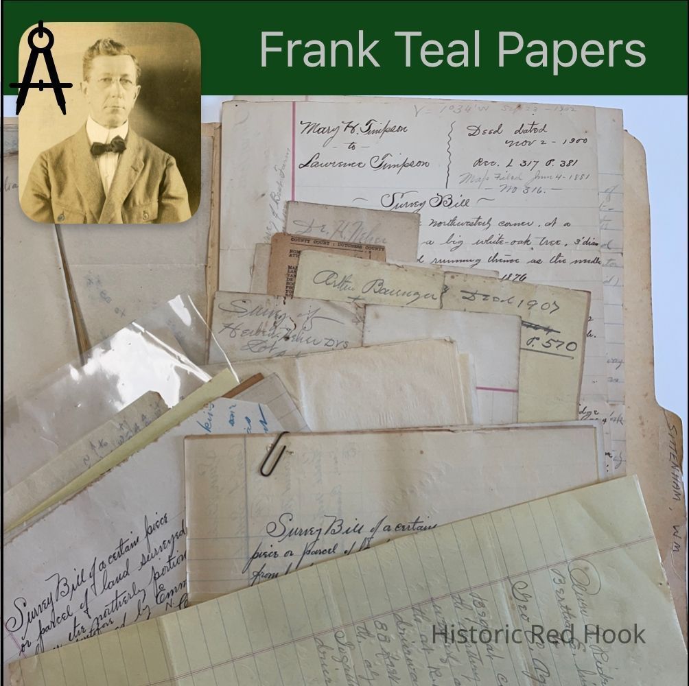
Name/Title
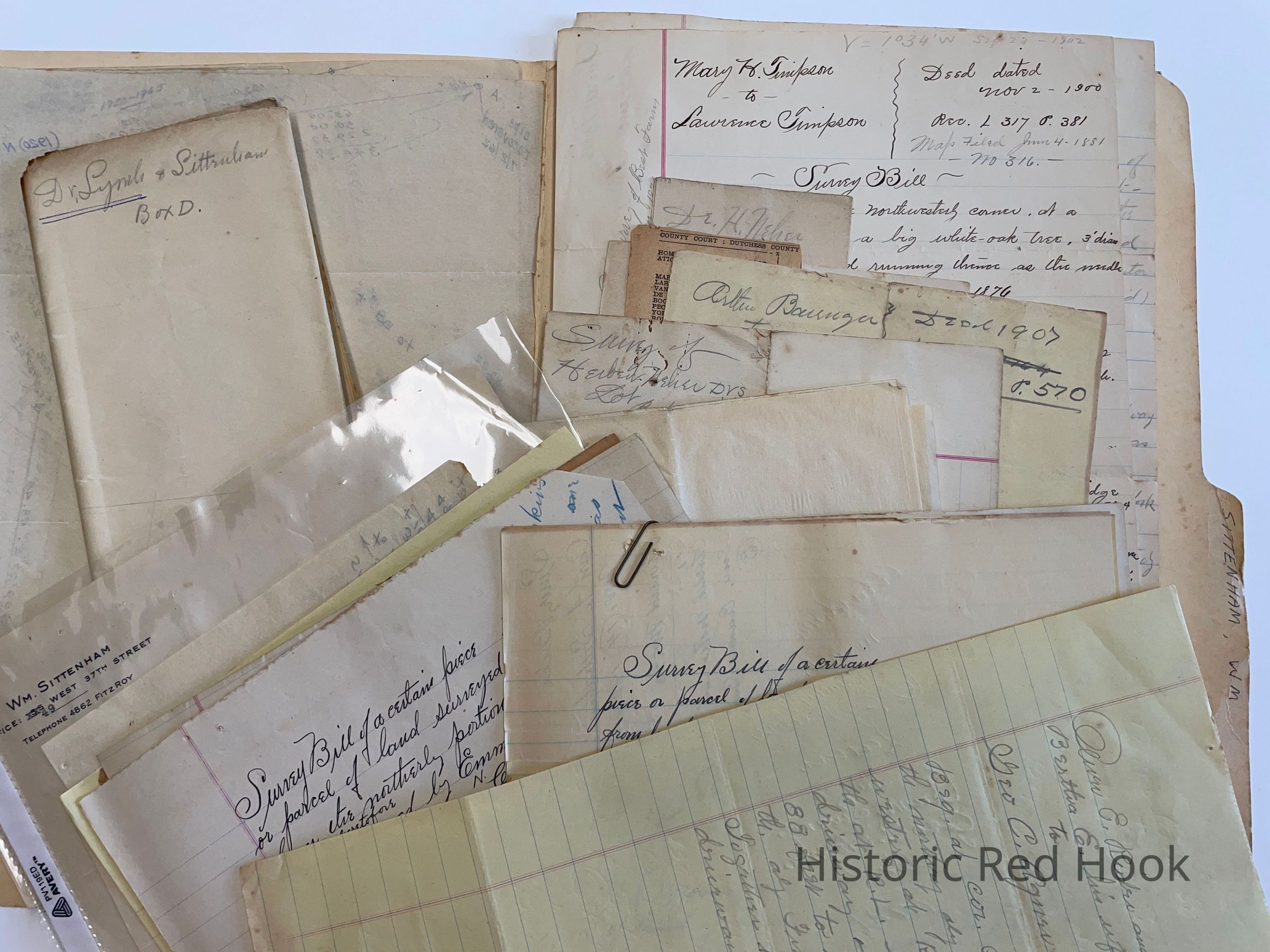
SITTENHAM, WM. RED HOOK VILLAGEEntry/Object ID
2016.011.359Scope and Content
Map: Showing Tobacco Lane, Lots of Susan Mesick 1845, Dr. Herbert Neher Lot, now Village Park
Map: Dr. John R. Lynch "Robert Hartnett Lot" River Rd. Plan Sittenham Purchase 1923 Deed: Oliver E. Rider & wife Bertha E. To Geo. C. Agnew 1941 589:350 Survey: For William Sittenham 14 Nov 1923&1929 Parcel from land of William N. Coon 0.487 acre
Survey: For William Sittenham 8 Dec 1933. Parcel from easterly portion of property of William Sittenham 0.26 acre
Survey: For William Sittenham 11 May 1915. Parcel from southerly portion of property of Hoffman & Co. 0.143 acre. (This survey was revised)
Deed: R. S. Massonneau et al to Henry E. Miller & Chas. Hoffman 21 Mar 1885 Survey: 7 Jul 1915 Parcel from the northerly portion of land formerly of Geo. H. Cramer 0.0216 acre
Survey: 7 Jul 1915 Parcel of land adjoining the northerly bounds of land formerly the property of Geo. H. Cramer 0.0065 acre.
Survey: For Wm. Sittenham 18 Jun 1923 Parcel from northerly portion of land heretofore from Emma A. Traver to William N. Coon 0.08 acre
Survey: For Wm. Sittenham 7 Jul 1915 Parcel from southerly portion of Hoffman & Co. 0.177 acre
Field Notes: 18 Jun 1929
Deed: Wm. Coon & Matilda A. His wife to Edward Coon 1924 443:438 Cor. House lot NE, cor. Coon property
Map: Property of Ella Neher(Dr. H. Neher 1914 0.384 Acre. Bounded by Depot St., Geo. H. Cramer
Deed: New Boundary lines for Wm. Sittenham. Mentions lot of Herbert Neher, formerly Mary & Magdalene Hendricks
Letter: 21 Nov 1923 From Wm. Sittenham to Frank Teal
Maps: lst-Sittenham Detail N. 2nd- Plan, Coon to Sittenham 1929 "Field notes in (east?) Cramer swamp.
Field Notes for survey of Dr. Herbert Neher 50X160
Memo: Arthur Barringer to Ella Neher 1907 366:570. Same as May E. Hendricks to Arthur Barringer 354:164
Newspaper clipping: Notice of foreclosure sale (No Date) Homeowners Loan Corp. Vs. Mary Van De Bogart et al Exec. Of estate of Frederick W. Lee. 2 acres
Notes: "On Pitcher Lot" from Helen Coon to Rosanna Moul 187:431. Same as from Philip N. Bonesteel in 1832 to John H. Lown 96:394. [No acreage given]
Deed: Mary Timpson to Lawrence Timpson 2 Nov 1900 317:381 130 acres, 2 roods, 26 perches and being Farm "A" on map of farms of Wm. L. Chamberlain and being same as executed by Fordham Morris & Ann to Mary H. Timpson 18 Jul 1882 210:151
Survey: Parcel in the Village of Red Hook part of lot owned & occupied by Geo. H. Cramer 7
16,546 sq, feet. Bounded South Broadway and Fisk Street
Survey: 12 Nov 1913 Two lots, being sub-division of tract known as Massonneau Store property. Lot 1- The Brick Store Lot 0.516 acre. Lot No. 2- The Dwelling House Lot 0.143 acre Survey & Map: 5 acre lot south portion of John M. Thompson Farm, Alice Thompson Exec. Of George ThompsonCollection
Teal-Decker CollectionRelationships
Related Person or Organization
Person or Organization
Teal, Frank L.