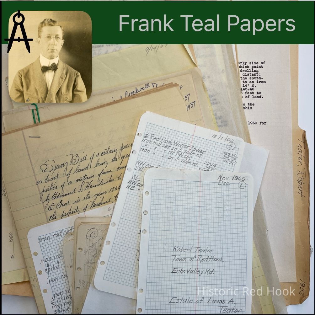
Name/Title
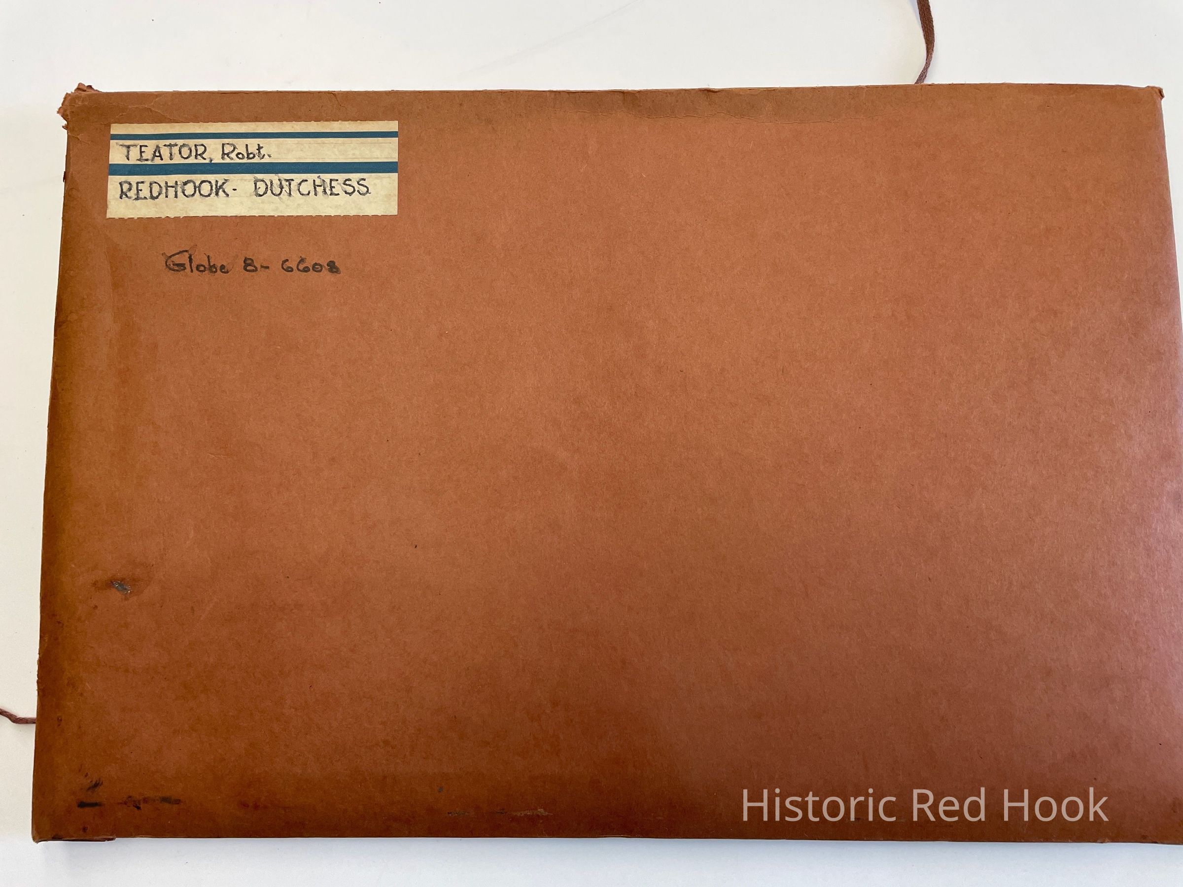
TEATOR, ROBERTEntry/Object ID
2016.011.377Scope and Content
Crockwell, Michael 1922-1927
Field Notes: Crockwell Land 1928
Survey: For Michael Crockwell 29 May 1929. Being greater portion of farm from Edmund L. Hendricks to Andrew E. Teal in 1866 53. 36 acres. Mentions Road leading to Red Hook Mills, pond and "Cemetery for Colored Folks"
Deed: 135:478 May 1, 1866 Edmund L. Hendricks to Andrew E. Teal 61 acre, 2 roods,6 perches. Being the largest part of lands conveyed by Henry H. Conklin & wife 30 Apr 1864. Mentions; begins at NE angle of the Cemetery for Colored Folks at or near the margins of the Upper Mill Road Pond" 127:366
Deed: 131:463 April 20, 1865 Abraham Staats to Andrew E. Teal. Conveys 65A..3R..9P. East of Post Road as recently altered by agreement of Jeremiah Hendricks and William Waldorf(of the one part) and Horatio A. Teats 21 Oct 1856. Same as:
113:388 April 30, 1859 From Charles C. Lewis & others to Louisa S. Staats, wife of Abraham Staats. And the same farm or some part thereof is being conveyed subject to annual rent of 8 bu & 1 pk of wheat now payable to Henry B. Armstrong and also subject to covenents in said durable lease."
Deed: 166:234 1872 Andrew E. Teal & wife to John F. Cookingham 10A..2R..30p. Deed: 357:143 Ina L. Aucock to Mildred Crockwell Same as above with exceptions. Letter: 12 Aug 1943 From Mrs. Crockwell to Frank Teal
Letter: 5 Sep 1943 From Mrs. Crockwell to Frank Teal
Survey 560:218 June 15, 1937 For Mildred Crockwell 1930 & 1937 Parcel from SE portion of farm of Michael Crockwell 27.8 acres. Also Lot No. 9 0.8 acre
Survey: For Michael Crockwell 15 Dec 1923 Two parcels being a sub-division of Lot No. 2 in a range of building lots from land of Michael Crockwell on east side of Post Road. Parcel 1-The south half of Lot No. 2.- 1/2 acre. Parcel No. 2, North half of Lot No.- 2 1/2 acre
Survey: For Michael Crockwell 24 Feb 1922. Lots No. 2 and No. 3 in a range of building lots. No. 2- 1 acre; No. 3- 1 acre.
Survey: 1 Aug 1921. Parcel from land of Michael Crockwell 1 acre [Frank Coon's name is written in ink on top of page]
Survey: For Mrs. H. V. Humphrey 20 Sep 1928. Subdivisions of Lot No. 3 from M. Crockwell to Mrs. H. V. Humphrey. Parcel A- 0.45 acre; Parcel B-being north portion of Lot No. 3- .055 acre
Survey: Being Lots No 4 & No 6 in a range of building lots from land of Michael Crockwell. Parcel No. 4- 1 acre; Parcel No. 6- 1/2 acre
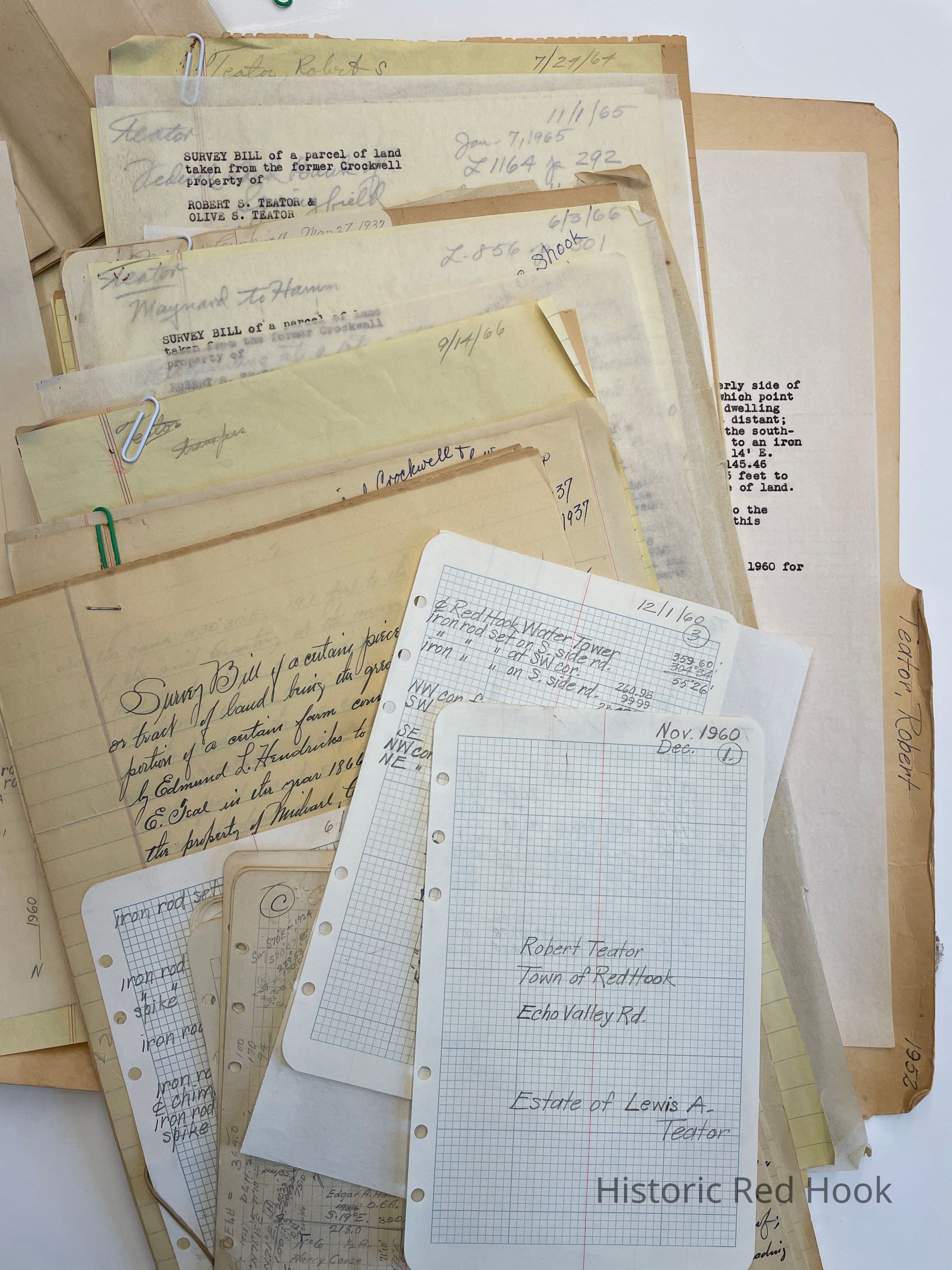
Survey: For Robert S. Teator. June 1966 Parcel taken from former Crockwell Farm, property of Robert Teator and Olive S. Teator- Pulver Parcel 0.567 acre Being taken from parcel of 27.8 acres from Crockwell to Teator.
560:218 June 15, 1937 Michael & Katerine Crockwell to Robert Teator
1136:132 29 June 1964 from Robert S. Teator to Robert S. Teator & wife Olive S. Survey: For Robert S. Teator Sep 1965 Parcel from former Crockwell property- Lot No. 1 0.615 acre. Being taken from 27.8 acres from Crockwell to Teator. [Merrick C. Shook & Linda S. Shook's names are written in pen at top of page.]
Survey: 688:519 May 11, 1949 Robert S. Teator to John H. White & wife Ellen V. Lot no 8- 15
0.795 acre
Deed: 856:301 3 Jun 1966 Maynard to Hamm 1.41 acre
Survey: For Michael Crockwell 27 May 1937. Being a remnant of farm from Ina L. Aucock to Michael Crockwell in 1908. 2.47 acres
Map: Showing four lots: Crockwell residence, Harry Couse lot and two vacant lots Survey: Highway No. 552 Map No. 12 Rhinebeck-Elizaville Highway
Survey: For Michael Crockwell 28 May 1924 . Parcel from easterly portion of property 2 acres. Survey: For Michael Crockwell 29 Sep 1928. Parcel known as Lot No. 10 2 acres Survey: For Michael Crockwell 31 May 1930 Two parcels on southerly side of Post Road. Parcel No. 5 0.376 acre; Parcel No. 7 0.6 acre
Survey: For Robert Ronald Teator Aug 1964. Parcel from land of Malverne Schwartz 0.367 acre. 854:581 Being taken from easterly portion of land of of 7 acres from Exec. Of estate of Joseph Schneider to Malverne Schwartz 24 Mar 1954.
Survey: For Robert Ronald Teator Dec 1964. Parcel of former Crockwell land 1.78 acres Map: Lot No. 9
Map: Plan No. 4., Frank Jacoby Sr.
Deed: 578:349 Nov 24 1939 Frank Jacoby to Hattie, Louise, & Laura Schrader 2 acres Deed: 445:28 June 10, 1924 Michael Crockwell & wife Catherine D. To John Foersch & wife Louise 2 acres
Survey: For Robert S. Teator Oct 1965 Abrial Parcel. Taken from former Crockwell Property 1 acre
Letter: 7 May 1965 From Rappoert & Rapport to Robert Decker
Deed: 854:581 Mar 23 1954 Joseph Schneider, Dec'd to Malverne Schwartz 629:571 Sep 7, 1945 James S. Rifenburgh & wife Forence E. To Joseph Schneider 7 acres 567:281 31 May 1938 Frank Jacoby & wife Lena to James S. Rifenburgh & wife Florence.
Survey: Of two lots from Farm of Michael Crockwell 24 Feb 1922. Plan on roll maps with Morgan Lot.
Letter: Nov 14 1936 From Harry Arnold to Frank Teal
Map: Jane E. VanSteenburgh-Lot No. 15 Michael Crockwell to Coon
Map: Plan of Land W. Of Post Road 53.36 acres
Field Notes: Robert Teator, Echo Valley Road, Estate of Lewis Teator
Survey: For Robert Teator 1 Dec 1960 Parcel from Estate of Lewis Teator 0.871 acreCollection
Teal-Decker CollectionRelationships
Related Person or Organization
Person or Organization
Teal, Frank L.