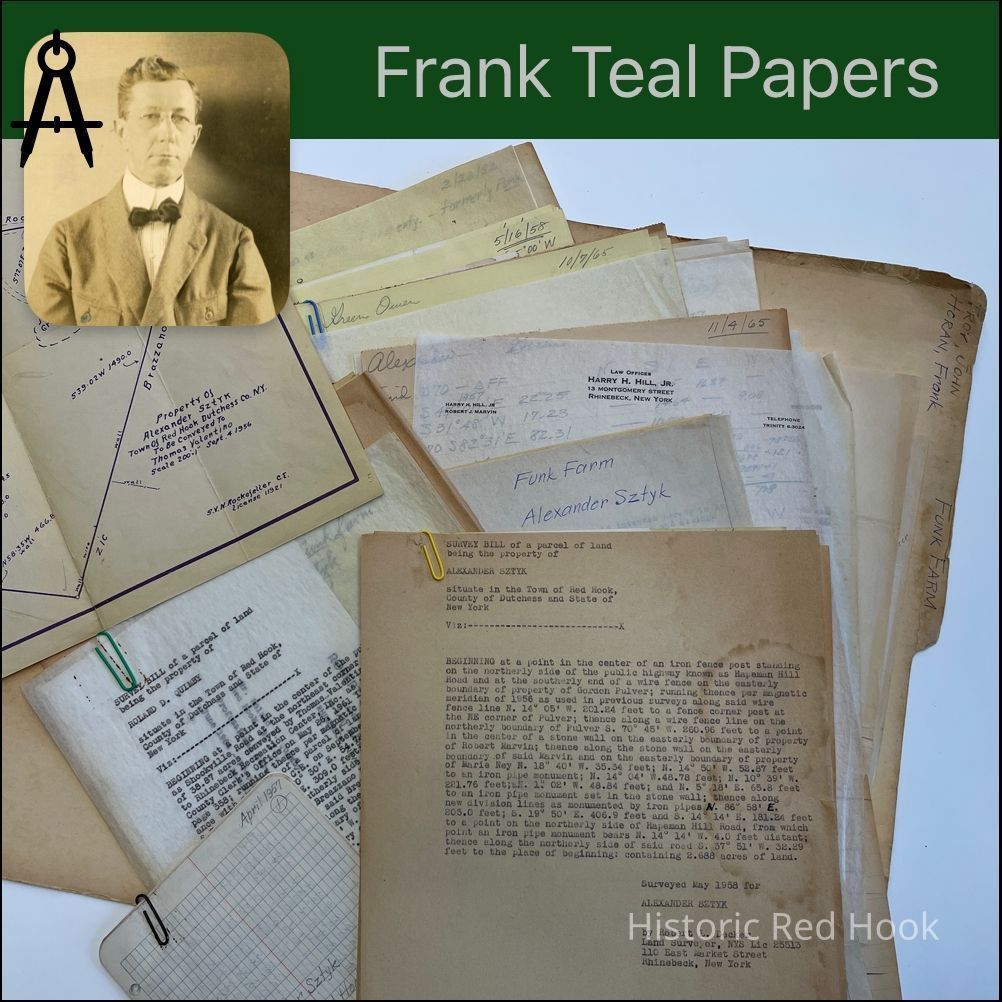
Name/Title
TROY, JOHN & HORAN FRANK Funk FarmEntry/Object ID
2016.011.389Scope and Content
(Sztyk & Valentine)
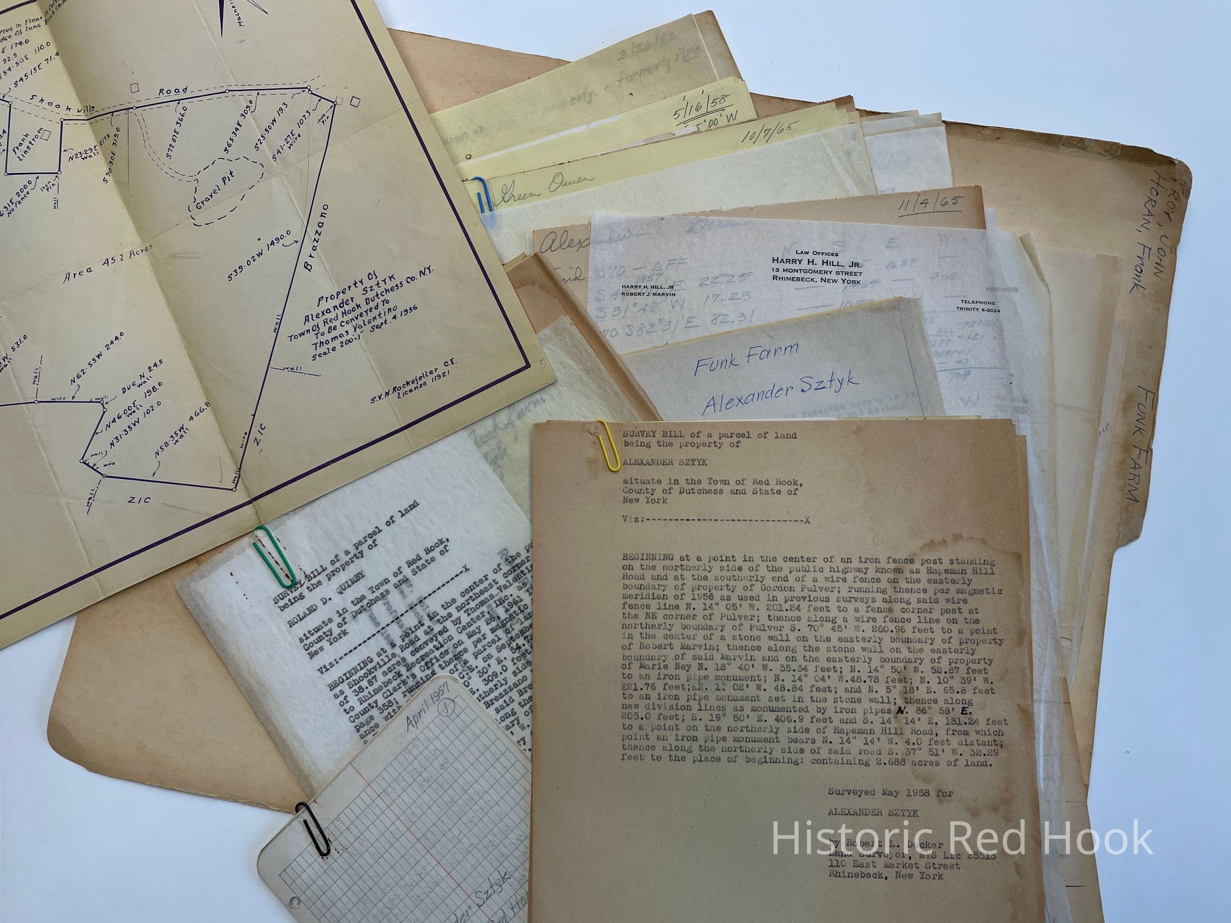
Map: Property of Alexander Sztyk Corner of Shookville & Hapeman Road 45.2 acres Survey: For Alexander Sztyk May 1958 Parcel of 2.688 acres
Survey: For Alexander Sztyk March 1958 1.458
Survey: For Owen R. Green May 1958 From property of Owen R. Green 1.367 acres Field Notes: April 1957 Alexander Sztyk Former David Funk Farm
Survey: For Roland D. Quimby June 1964 18.9 acres. Same as Thomas Valentine 7 Joseph Locascio to Roland Quimby
Survey: For Harry Hill Jr. May 1961 Parcel from property of Thomas Valentine & Joseph Locascio 38.87
Survey: For Thomas Valentine Oct 1957 Parcel from property of Alexander Sztyk 12.57 acres Deed: 161:250 1 May 1871 Funk Farm. From Peter G. Fraleigh to Alfred Hutchings. Two parcels.
1st - Larger part of parcel & farm from William Westfall to Peter Fraleigh 121:265 1 May 1862 89acres 1 rood 21 perches.
2nd - Parcel taken from Homestead Farm of Peter Fraleigh 14..2..2 3/4 acres Field Notes: 691:298 Nick Orlich to Daniel Zic
Letter: 15 Dec 1965 From Robert Marvin to Mr. Mrs. Owen Green
Survey: For Wilfred Alexander Oct 1865 Property of Owen Green & Ethel Green. 1.458 acres Survey: For Wilfred Alexander Oct 1965 Parcel taken from land of John Welz & John Folkl 0.056 acre
Survey: For Wilfred Alexander Oct 1965 Parcel from property of Owen Greene and Ethel Green 0.056 acre
Deed: 704:329 5 Nov 1948 Ada J. Funk to Frank & Marie Lindstrom 1 acre 20
Deed: 767:496 20 Feb 1951 Carlo Breazzano to Carlo J. & Louise W. Same as 689:404 18 May 1948 Annie Hahn to Carlo Breazzano Formerly known as the Uriah St. Paul Place in Milan
Letter: 18 May 1961 From Harry Hill to Robert Decker
Survey & Map: For John Troy 27 Feb 1952. Parcel of land of John Troy to John Troy, Jr. 2.43 acres. Being portion of property from David Funk to John Troy
Survey: Estate of John Troy Oct 1959 Property of Estate of John Troy 2.89 acres Survey: For estate of John Troy Oct 1959. John Troy Jr. Parcel 8.96 acres Survey: For Mildred Norton October 1959. Property from estate of John Troy "Norton Parcel" 3.99 acres
Deed: 573:20 David Funk to John Troy 28 Mar 1939 12 acres.
Deed: 565:461 David Funk to John Troy 16 Mar 1938 no acreage given.
Deed: 557:473 David Funk to John Troy 18 Feb 1937 2.01 acre
Deed: 732:223 John Troy to Robert B. & Mildred Norton 25 Nov 1949 1.49 acre Survey: For Robert Norton 8 Nov 1949. Parcel from northerly portion of land of John Troy 1.49 acres
Survey: For John Troy 11 Feb 1937. Parcel from fram from William E. Traver et al to David Funk & Mary Funk in 1921 2.01 acres
Deed: 865:449 Martha J. Funk to Nicholas Sztyk 104A, 7 3/4 perches. Beeing the first parcel described in a deed from Albert Snyder to Edgar L. Traver 3 Oct 1878 in 194:122 420:331 William E. Traver & wife to David & Mary Funk- Same as above. Deed: 469:442 David Funk to Herman Cordts
Deed: 469:495 David Funk to Herman Cordts
Deed :557:473 David Funk, Widower to John Troy Also 565:461, 573:20 Deed: 704:329 Ada J. Funk & Martha to Frank Lindstrom
Deed: 597:504 Herman C. Cordts to Carl Johnsen & wife Eva Jan 12 1942 Two lots Map: Plan Robert Norton 1949 1.49 acres
Letter: 5 Feb 1937 From Edward O'Connell to Frank Teal
Letter: 15 Feb 1937 From Frank Teal to Edward O'Connell
Letter: 15 Feb 1937 From Edward O'Connell to Frank Teal
Map: Plan John Troy Lot 1937
Survey: For John Troy 11 Feb 1937 Parcel before from William E. Traver et al to David Funk and Mary Funk 1921 2.01 acres
Field Notes: John Troy, taken from former Funk land. 1949
Survey: For Red Hook Telephone Co. 5 Nov 1945. Parcel surveyed from land of Charles Ball & wife Louisa in Madalin 0.229 acreCollection
Teal-Decker CollectionRelationships
Related Person or Organization
Person or Organization
Teal, Frank L.