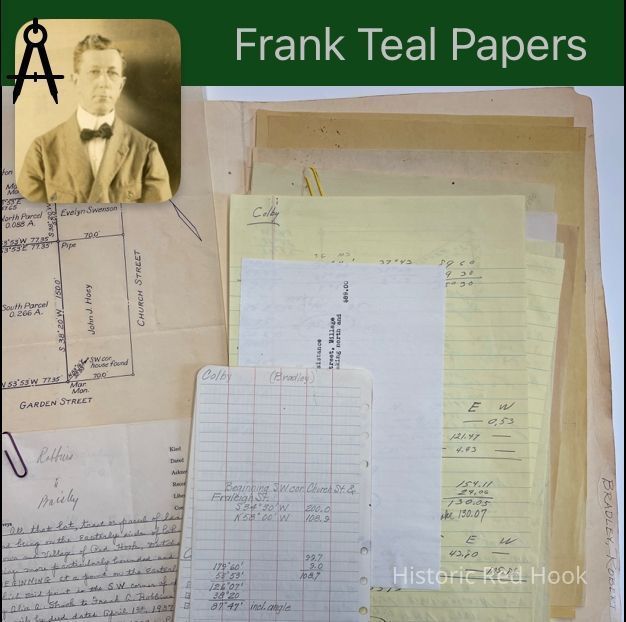
Name/Title
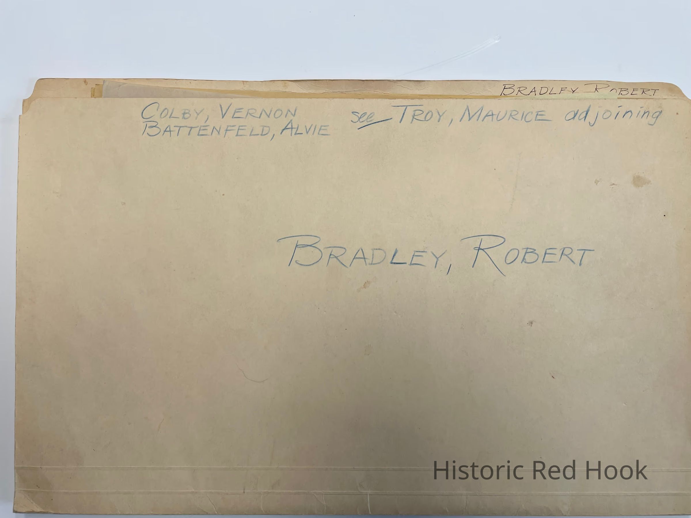
BRADLEY, ROBERT(Colby, Vernon, Alvie Battenfeld, Troy Maurice,adjoining)Entry/Object ID
2016.011.128Scope and Content
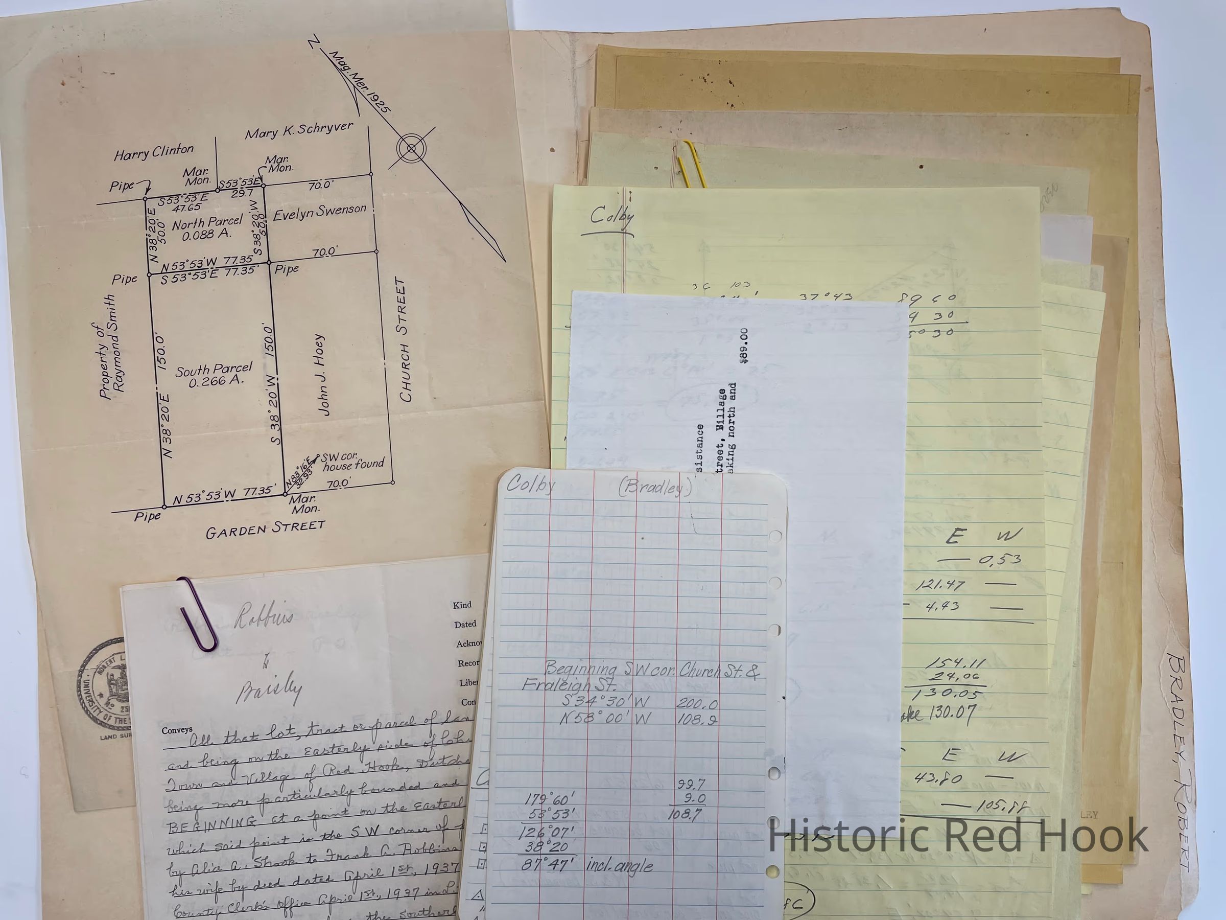
Map, Field notes
Map showing division of preoperty of Robert W. & Eugenia Bradley. Corner of Garden Street and Church Street 1925
1 April 1937 558:370 Alice A. Shook to Frank Robbins & Gertrude F. Robbins. Same as William M. Hoffman & wife Maria J. Hoffman to Alexander C. Osterhoudt 1 May 1890 239:430, little more than ½ acre. Bounded N-Fraleigh St. E-Helen Coon dec, now William E. House, S-Jacob W. Fraleigh, dec, now Alfred C. Herrion W-Church street
5 July 1955 892:502 Same as above
12 Aug 1955 896:114 Taken from a parcel of land by Betty G. Mills to Robert and Eugenia Bradley South Parce, 0.266 acrel & North parcel, 0.088 acre
17 May 1933 531:349 Frank Kolbenskie & May H. Kolbenskie to Joseph S. Mills and Betty G. Mills. Portion of premises from Hattie V. Humphrey to Frank Kolbenskie 22 Jan 1946 635:159 0.355 acre
ROBERT BRADLEY, Cont.
17 May 1933 531:349 Portion of premises from Frank Whitnall and Lena Whitnall to August Anspach 434:171 4 Jun 1923
Survey: For Alvie Battenfledt 7 Sep 1945 0.182 Acre
Map of property of Vernon Colby Bounded by Church Street, Marguerite Singel & Frank & Gertrude Robbins, Paul Smith & Alvie Battenfeldt, Alvie Battenfeldt.
Survey for Paul Smith and Alvie Battenfeldt o.19 acre. Conveyed by Warren J. House & wife to Alvie Battenfeldt and Ethel C. Battenfeldt in 1926, on south side of Fraleigh Street.
William E. Hutton to Norman Mead 9 Jan 1895 279:378
N. Line of Garden St, east line of Benner Rd. 3 acres.Collection
Teal-Decker CollectionRelationships
Related Person or Organization
Person or Organization
Teal, Frank L.Related Places
Place
Property
11 Garden StreetVillage
Red Hook Village