Name/Title
ARMSTRONG, JAMES, EST. - RED HOOK VILLAGEEntry/Object ID
2016.011.113Scope and Content
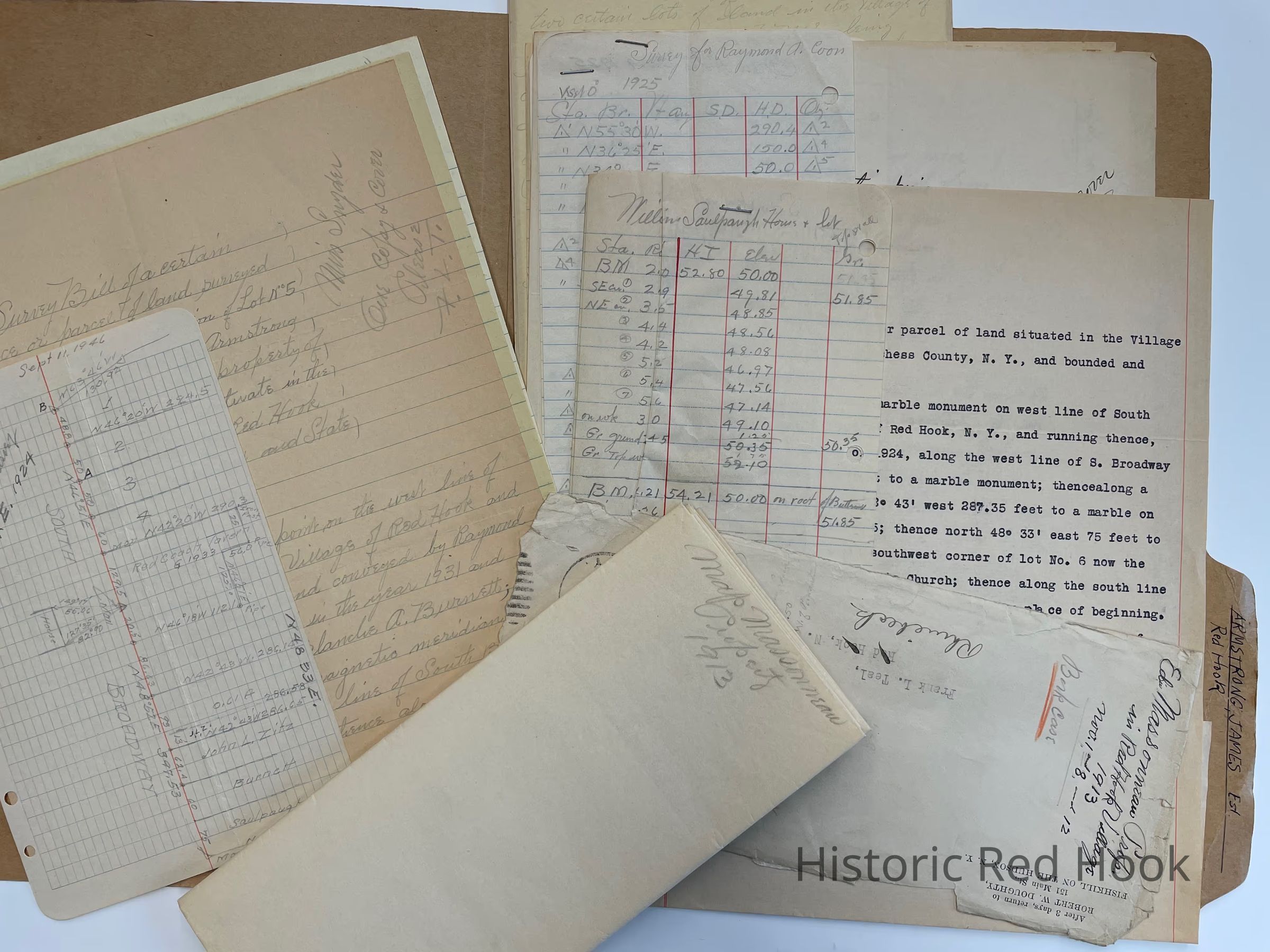
Map of Massoneau property 1913
Parcel of land surveyed from the northerly portion of Lot No 5 in the subdivision of Armstrong land, being now the property of Raymond Coon, containing .411 acre of land. 2 Dec 1943 for John Lawrence Zitz.
Survey bill parcel from the northerly portion of land of the Double Twirler Spray Nozzle Co. .085 acre 11 Sep 1946
Parcel, South Broadway being the same asa portion of premises from William S. Massoneau, Exec. Of Caroline Moul to Raymond A. Coon & Elizabeth Coon his wife 3 March 1925 L450:455
Survey Bill parcel surveyed from easterly portion of 33 acre wood lot leased by Gen. John Armstrong to William Waldorph in 1801 now the property of Raymond Coon 10.3 acres 9 Jan 1940
Two lots in the Village of Red Hook being subdivision of tract known as the Massoneau Store Property: Lot #1 - The Store Property, Lot #2 - The Dwelliong House Lot
Survey Bill parcel surveyed from northerly portion of Lot #5 of the Armstrong Land, now the property of Raymond Coon and wife Elizabeth Coon.. 0.39 acreCollection
Teal-Decker CollectionRelationships
Related Person or Organization
Person or Organization
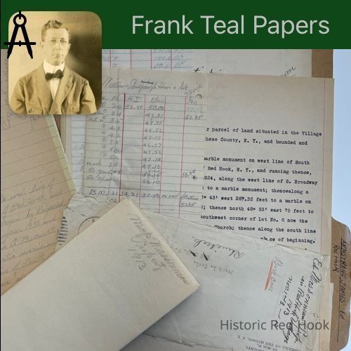
Teal, Frank L.Related Places
Place
Property
7496 South BroadwayVillage
Red Hook Village