Name/Title
LYNCH, DR. JOHN L. & KATHERINE BARRYTOWNEntry/Object ID
2016.011.250Scope and Content
Map: Old Survey Plotting 1941
Map: Plan, showing Troy Lines
Survey: For Dr. John R.Lynch June 4 1946- Parcel from Northerly portion of land from L. Martin Searing to William W. Ower in 1936, formerly property of Charles V. Henion o.267 acre.
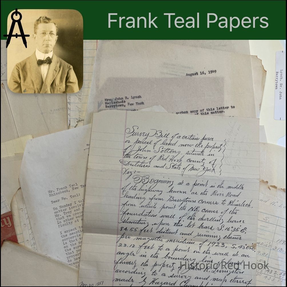
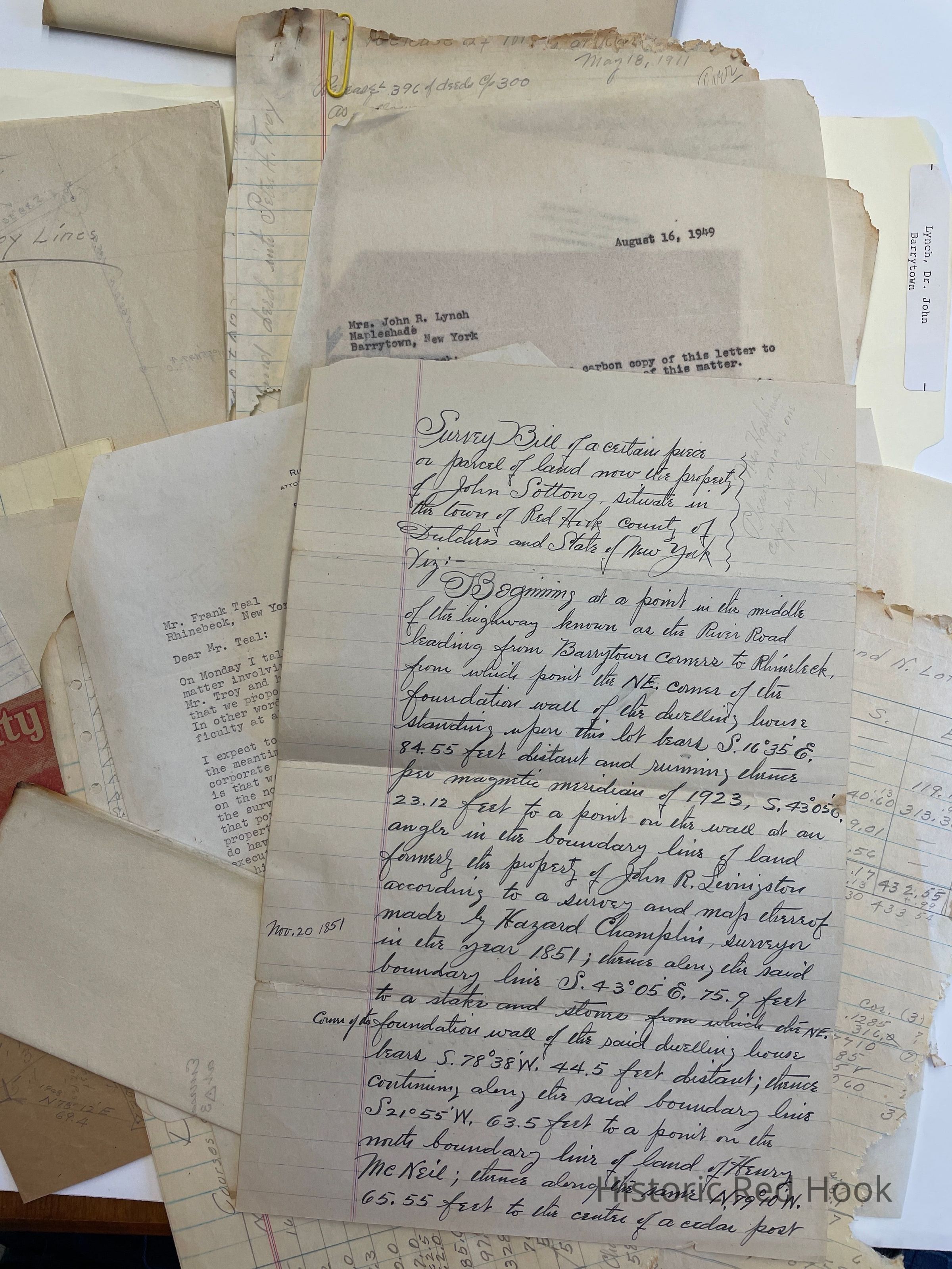
Survey: For Dr. Lynch June 1923 0.24 acre- Parcel of land now property of John Sottong
Map: 0.45 acre bought of Moore 1925
Letter: 27 Jul 1949 from Richard F. Russell to Frank Teal
Letter: 24 Aug 1949 from Richard Russell to Mrs. John R. Lynch
Letter: 2 Aug 1949 from Richard Russell[lawyer] to Frank Teal
Map: 1923 Harriet W. Lynch Lots & plan of Hotbed, Chapman Garden
Letter: 16 Aug 1949 From Richard Russell to Mrs. John R. Lynch at “Mapleshade”
Release: [Papers badly damaged by mice and fire.] 396:300.
War. Deed: Henry B. Armstrong & Freeborn Garretson, Exrs 1853 99:405- Parcel No. 3 of Homestead Farm bounded N&E by David Lown, S. By heirs of Jacob Boice, dec’d, W by public road leading from Rhinebeck to Cedar Hill 16-0-13
Survey: 1925 Olive Moore to John R. Lynch 0.45 acre
Letter: 19 July 1945 From Richard Russell to Frank TealCollection
Teal-Decker CollectionRelationships
Related Person or Organization
Person or Organization
Teal, Frank L.