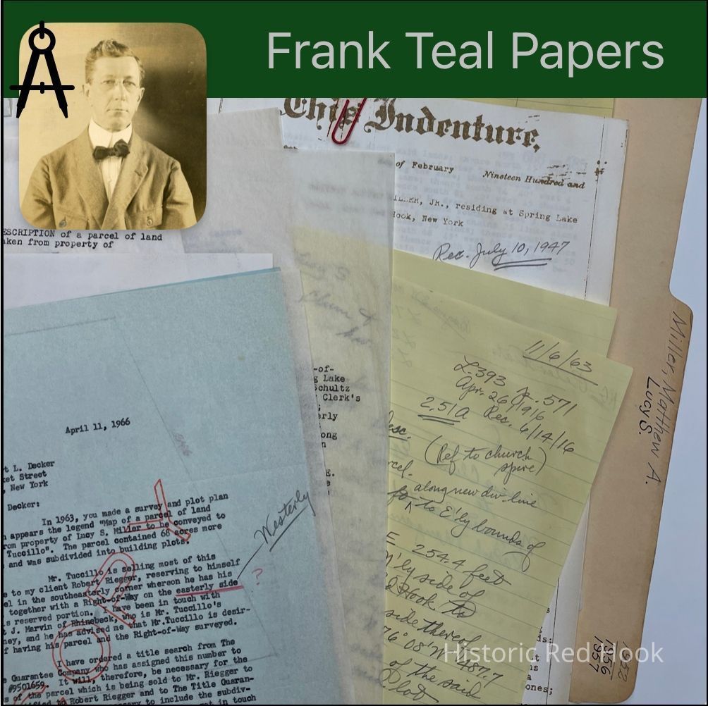
Name/Title
MILLER, LUCY S. & MATTHEW A. RED HOOK -Spring Lake areaEntry/Object ID
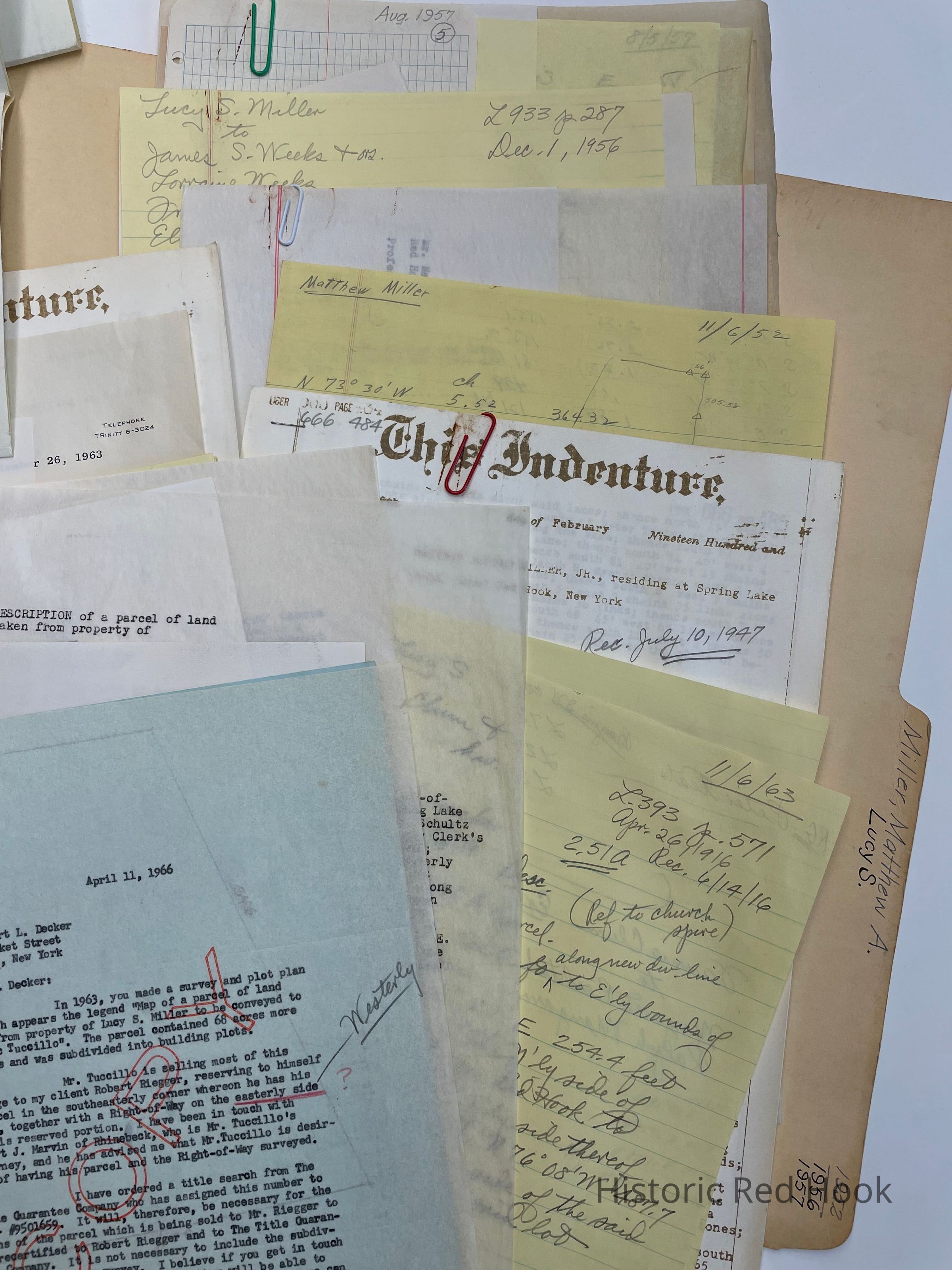
2016.011.267Scope and Content
Letter: 11 Apr 1966 Henry Hallock to Robert Decker
Survey: For Dominic Tuccillo May 1966. Parcel taken from property of Dominic & Felice Tuccillo House parcel 2.07 acres. Being taken from SE corner of parcel of 70.07 acres from Lucy S., Miller to Dominic Tuccillo 27 Nov 1963 1115:140
Field Notes: Lucy S. Miller (Mrs. Matthew A. Sr.) Upper Red Hook Sep 1956
Survey: For Lucy S. Miller Nov 1963 Parcel of land taken from property of Lucy Miller 70.07 acres. Being all of the land remaining on the North side of Spring Lake Rd as in a deed from Matthew Alfred Miller Jr. to Matthew Alfred Miller & wife Lucy S. 10 July 1947 666:484
Deed: William H. Forbes to Fred W. Schultz & Fannie Schultz 15 Nov 1947 677:386. Bounded N-highway from Upper Red Hook to Cokertown, East by Theodore T.B. Nelson, South & West by Curtis Feller. Same as Sara Becker to Julia E. Eckert 18 Jan 1889 297:239 110 ½ acres
Deed: 666:484 Mathew Alfred Miller Jr. to Matthew Alfred Miller & Lucy Miller 136 acres 3 rood 15 perches. Bounded N- Peter Teator, E-Jacob, Albert & Fulton Feller, S-Samuel Nelson, West by Samuel Nelson and Jacob Myers. As described in deed 69:4 from Peter H. Teator & wife to John H. Teator 3 Dec 1839
Deed: 393:571 26 Apr 1916 Lucy S. Miller, George P. Clum & wife Fannie to Constance Schumacher 2.51 acres
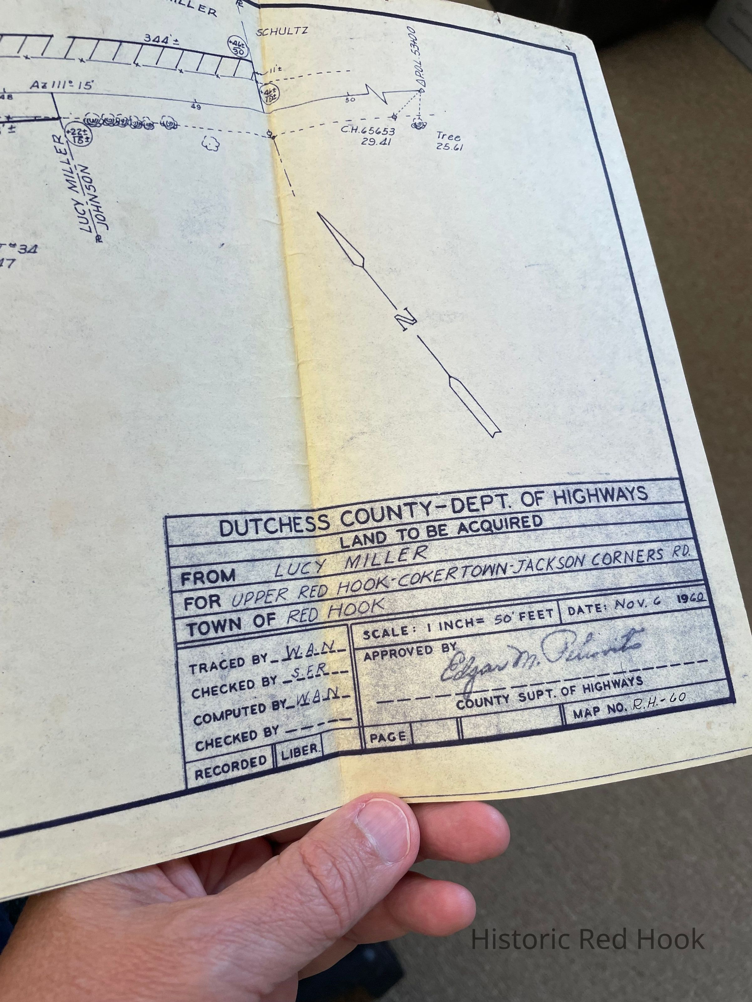
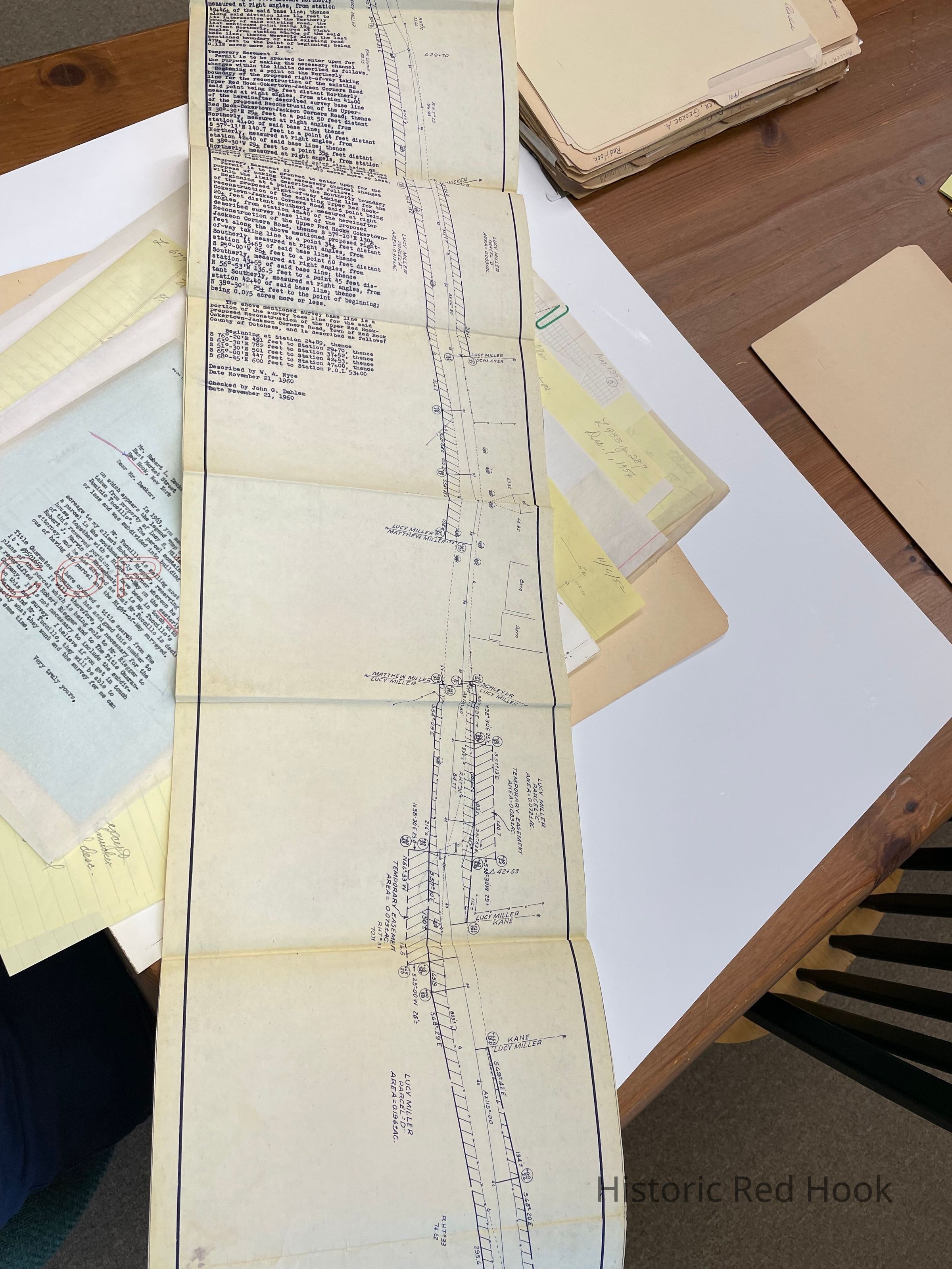
Deed: 5 parcels of land from Lucy S. Miller for reconstruction of Upper Red Hook-Cokertown Rd.
Survey: For Matthew Miller, Jr. Aug 1958 Parcel taken from land of Lucy S. Miller “Richard Kane Lot” 0.656 acre
Survey: For Lucy S. Miller Sep 1956 “House Parcel 10 acres
Survey: For Matthew A. Miller Aug 1957 Parcel taken from land of Lucy S. Miller, “Matthew A. Miller Parcel” 1.92 acres
Map: Property of Matthew A. Miller Aug 1957 1.92 acresCollection
Teal-Decker CollectionRelationships
Related Person or Organization
Person or Organization
Teal, Frank L.