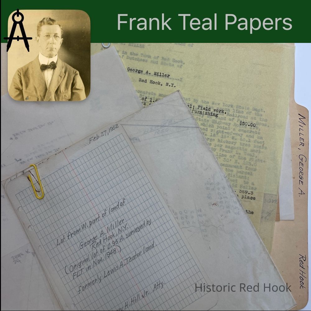
Name/Title
MILLER, GEORGE A. RED HOOKEntry/Object ID
2016.011.269Scope and Content
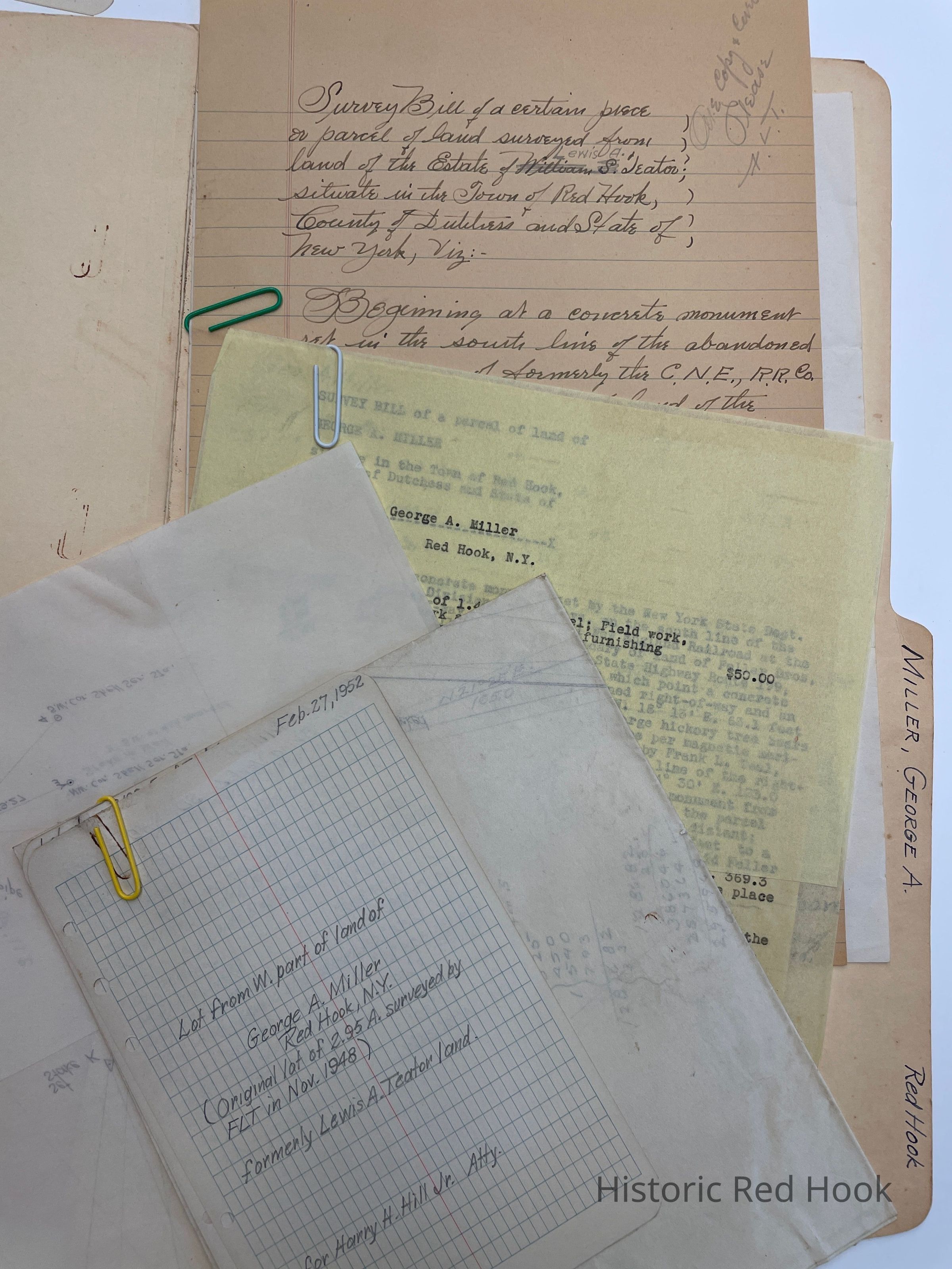
Field Notes & map: Lot from W. Part of land of George A. Miller, formerly Lewis A. Teator Land
Survey: For George A. Miller et al 27 Feb 1952 1.44 acres. Being westerly portion of parcel from Estate of Lewis A. Teator to George Miller in 1948
Survey: For George A. Miller Nov 20, 1948 Parcel from Estate of Lewis A. Teator 2.95 acres. FLT Note: Located in west portion of certain 27 acre parcel from John Lown, Jr. our of 143 acre farm leased by Gen John Armstrong to David Lown in 1801Collection
Teal-Decker CollectionRelationships
Related Person or Organization
Person or Organization
Teal, Frank L.