HUB
Collections
Classifications
About
App
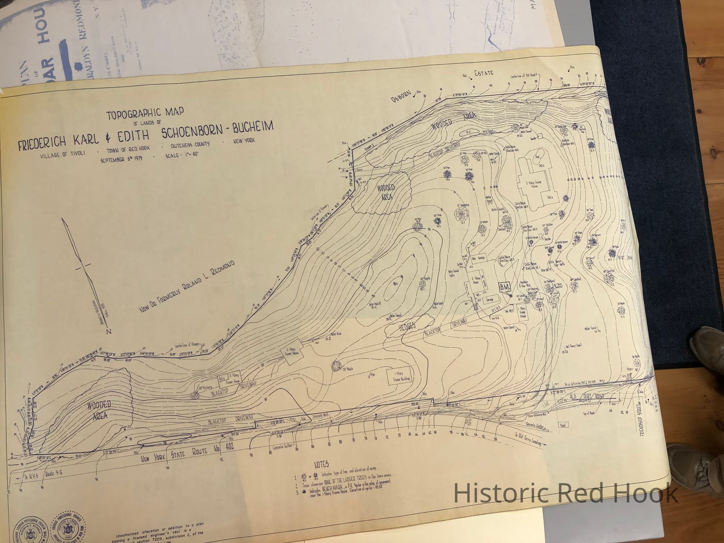
Topographical map of lands of Friederich Karl & Edith Schoenborn-Bucheim, Village of Tivoli
Map
-
Historic Red Hook
Name/Title
Topographical map of lands of Friederich Karl & Edith Schoenborn-Bucheim, Village of Tivoli
Entry/Object ID
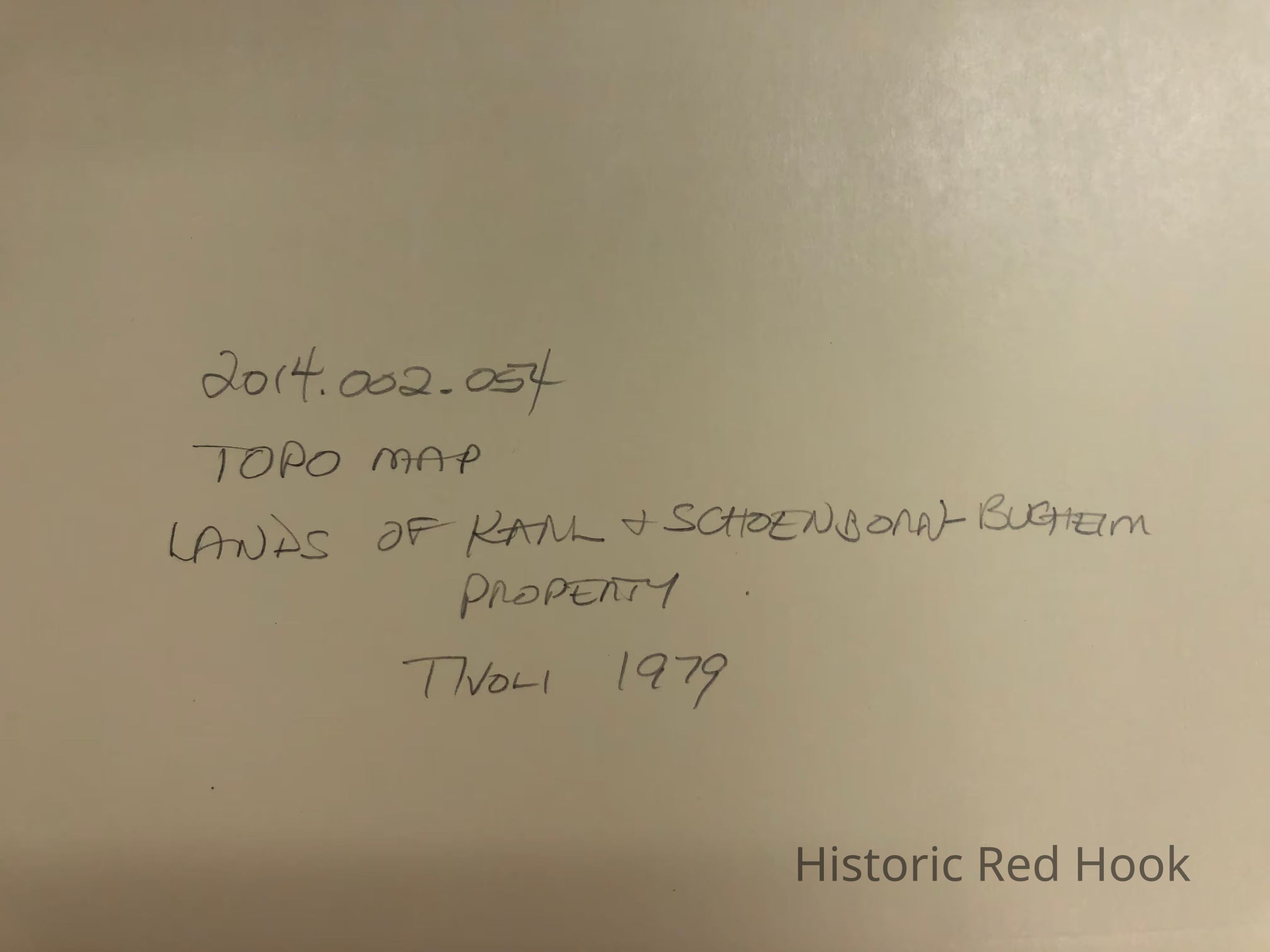
2014.002.054
Description
Topographical map of lands of Friederich Karl & Edith Schoenborn-Bucheim, Village of Tivoli
Collection
Red Hook Maps