Adirondack Map

Name/Title

Adirondack Map

Entry/Object ID

2025.14.1

Description

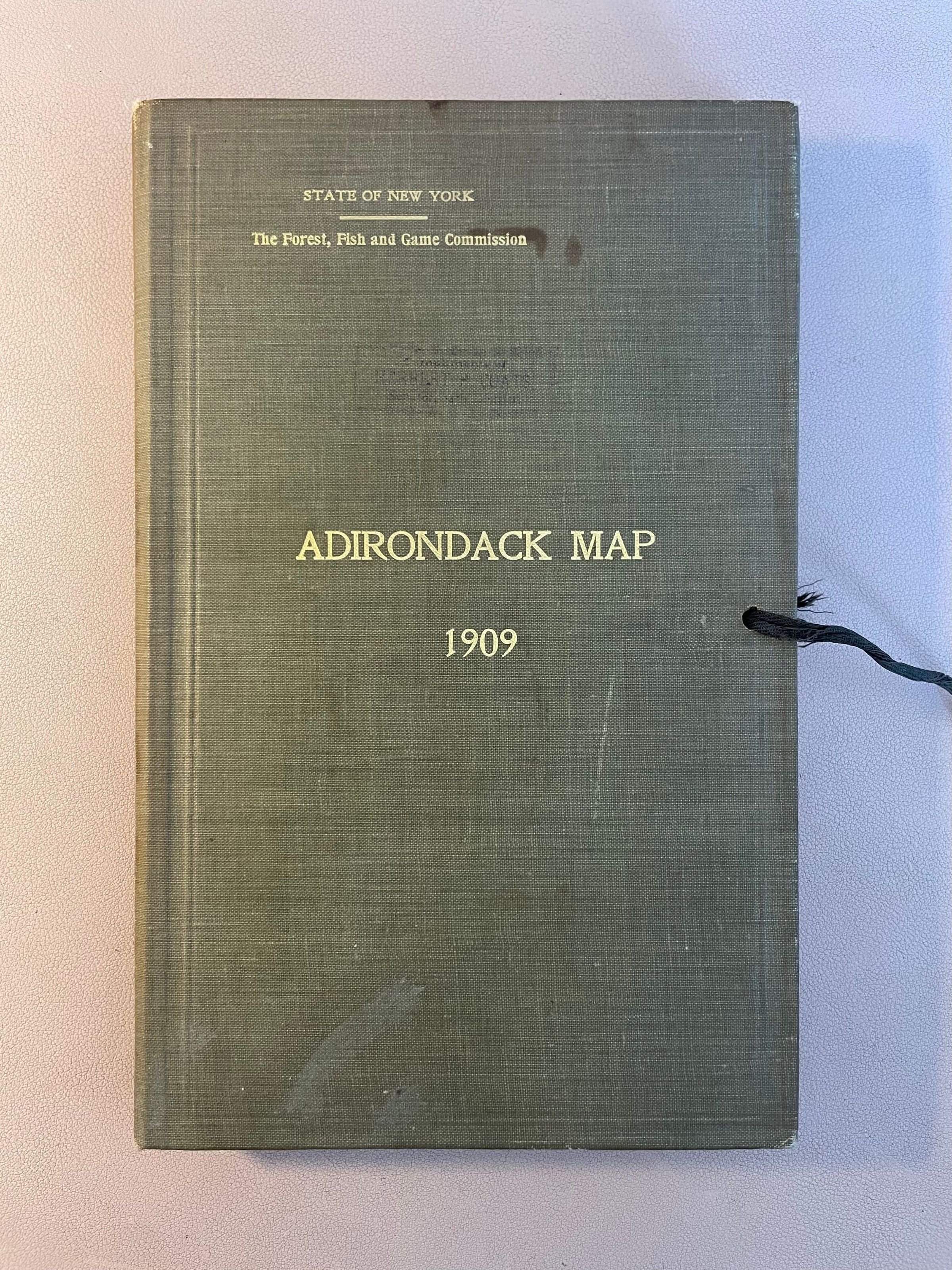
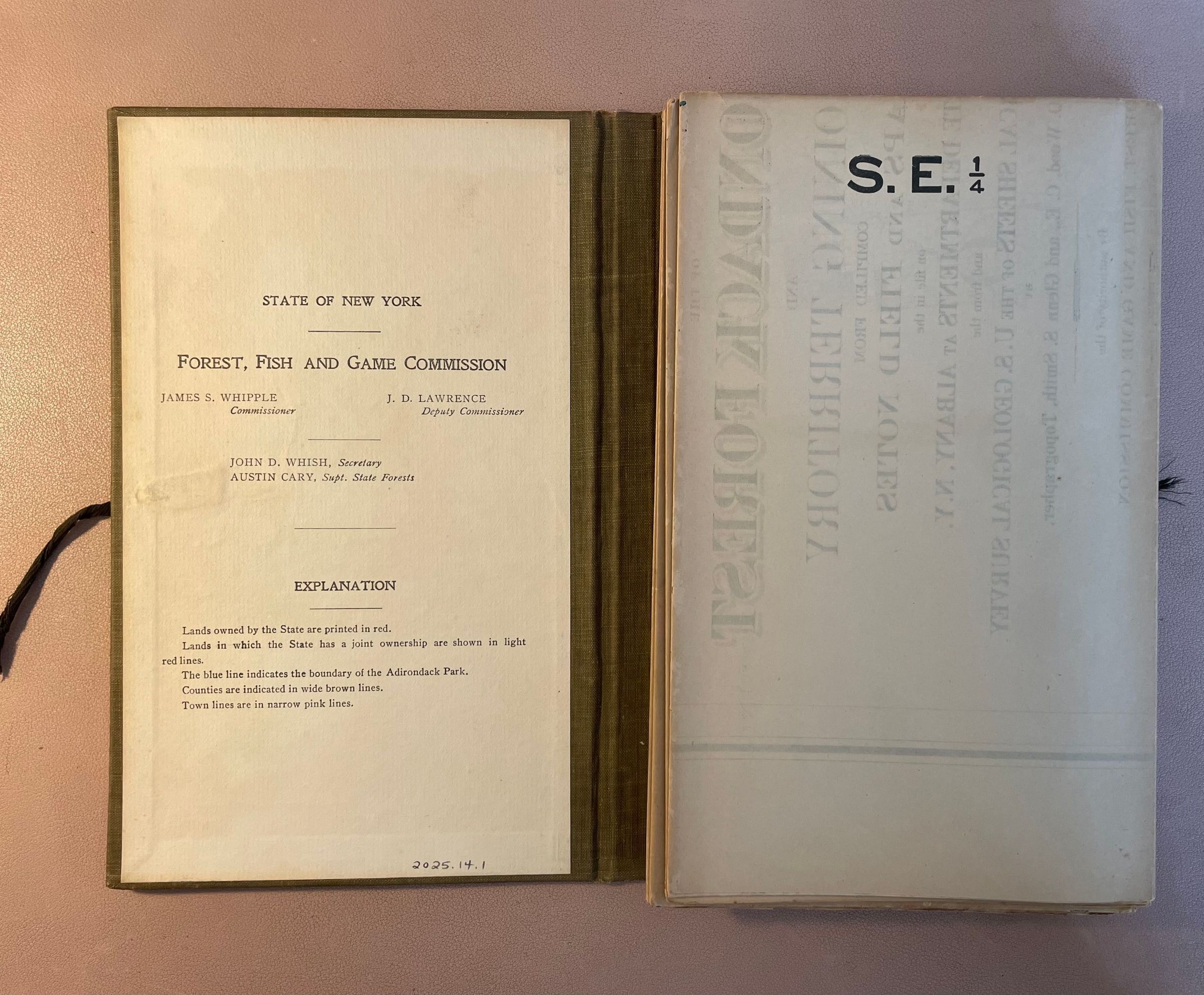
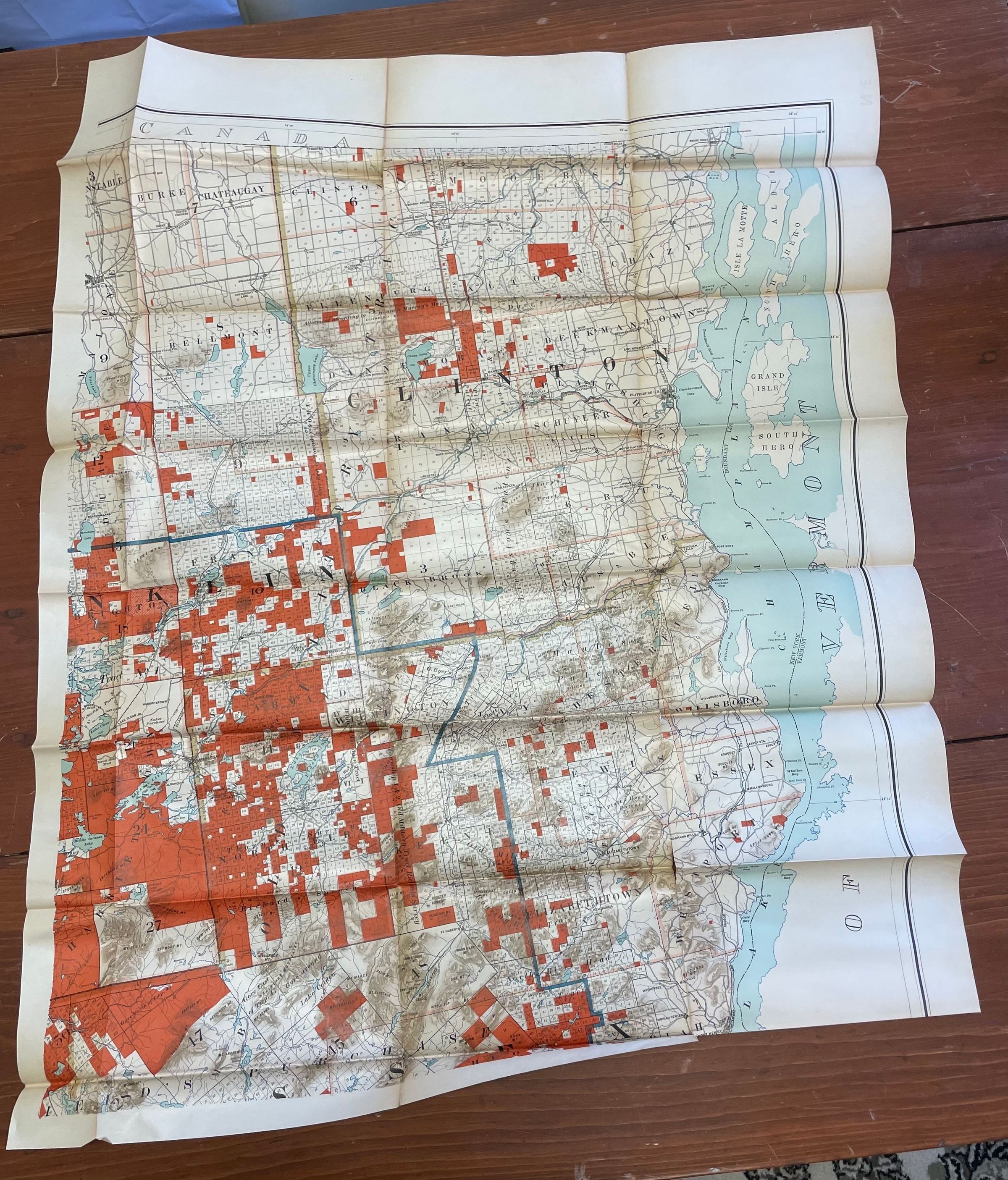
Set of four maps of the Adirondacks published by the State of New York Forest, Fish and Game Commission, 1909. Maps are folded and enclosed in hardcover binding (not attached) with string tie closure. Maps are labeled as follows: S. E. 1/4; S. W. 1/4; N. E. 1/4; and N. W. 1/4.

Lexicon

Nomenclature 4.0

Nomenclature Secondary Object Term

Map

Nomenclature Primary Object Term

Cartograph

Nomenclature Sub-Class

Graphic Documents

Nomenclature Class

Documentary Objects

Nomenclature Category

Category 08: Communication Objects

LOC Thesaurus for Graphic Materials

Parks, Maps, State parks & reserves

Publication Details

Publication Type

Book

Date Published

1909

Dimensions

Dimension Description

Book enclosure with maps folded inside

Height

9-1/4 in

Width

6 in

Depth

1 in

Dimension Description

N. E. 1/4 unfolded

Height

38-1/2 in

Width

30 in

Relationships

Related Places

Place

Region

Adirondacks, The

State/Province

New York

Country

United States of America