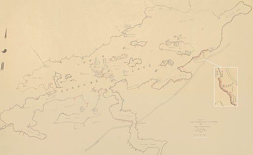
Lower Saranac Lake Tent Platform Map and Permit Holders List
Entry/Object ID
2010.19.1
Description
Map of Lower Saranac Lake Platforms and Open Campsites traced by Francis Pilon in 1961. Scale 12''=1 Mile. Platform numbers were hand printed in red ink.
Scan of Map courtesy of Joe Dieboll.
Map is accompanied by 6 legal-sized pages of names and addresses of 187 permit holders. This list is entitled "Tent Platforms Located on Lower Saranac Lake, and Islands starting at Crescent Bay South Shore.”
Insets: Crescent Bay, Duso's, Mink Brook, Spring and State Boat House labeled as are 32 tent platform permit locations.