Name/Title
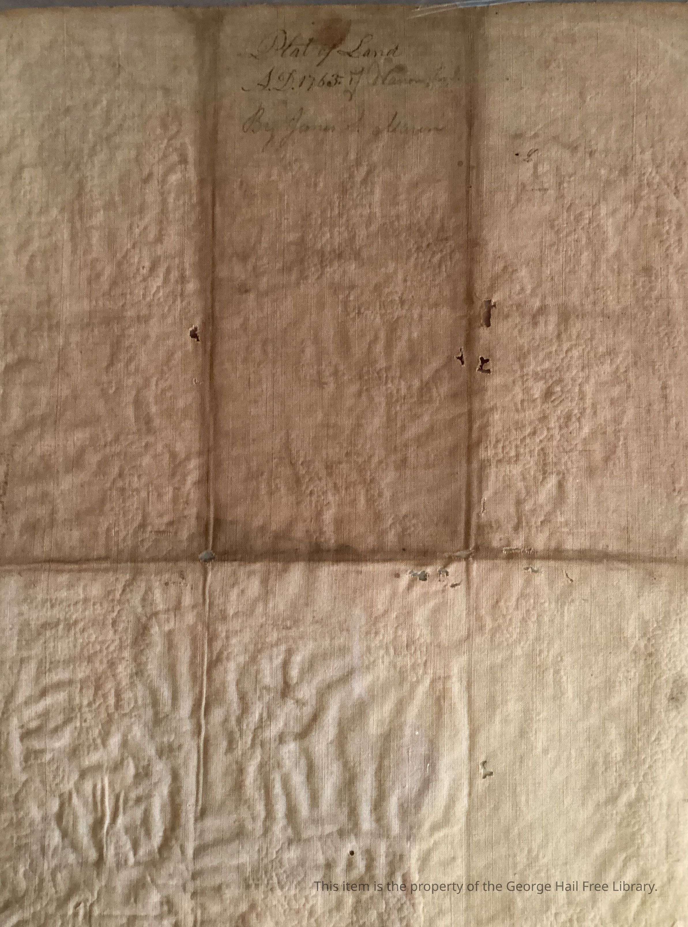
Plat of Land Owned by Josias Lyndon, John Wheaton, and Caleb Carr Plated on 1763Entry/Object ID
2025.03.11.07Tags
Warren Census/ResidentsDescription
A document describing a plot of land that has been divided among three (?) other partiesContext
Significant for being from the Revolutionary War eraAcquisition
Source (if not Accessioned)
James S. MasonMade/Created
Date made
Apr 11, 1765Place
City
WarrenState/Province
Rhode IslandRegion
NortheastContinent
North AmericaInscription/Signature/Marks
Notes
Some hand-written pencil marks: “From James S. Maron”; others illegible; one appears to add context to the plot position.Lexicon
Nomenclature 4.0
Nomenclature Secondary Object Term
DeedNomenclature Primary Object Term
MunimentNomenclature Sub-Class
Legal DocumentsNomenclature Class
Documentary ObjectsNomenclature Category
Category 08: Communication ObjectsGetty AAT
Concept
lots (land), deedsDimensions
Width
10-5/8 inLength
16-1/2 inMaterials
Material
PaperMaterial Notes
Protective plasticLocation
Location
Other
Main Floor Stair CaseBuilding
George Hail Free LibraryDate
August 12, 2025Location
Cabinet
Archival file cabinetRoom
Director's OfficeBuilding
George Hail Free LibraryDate
March 11, 2025Condition
Overall Condition
FairCondition Detail
StainsSurface
Item encased in protective plasticRelationships
Related Person or Organization
Person or Organization
James S. MasonExhibition
Warren During the Revolutionary WarCreate Date
March 11, 2025Update Date
November 8, 2025