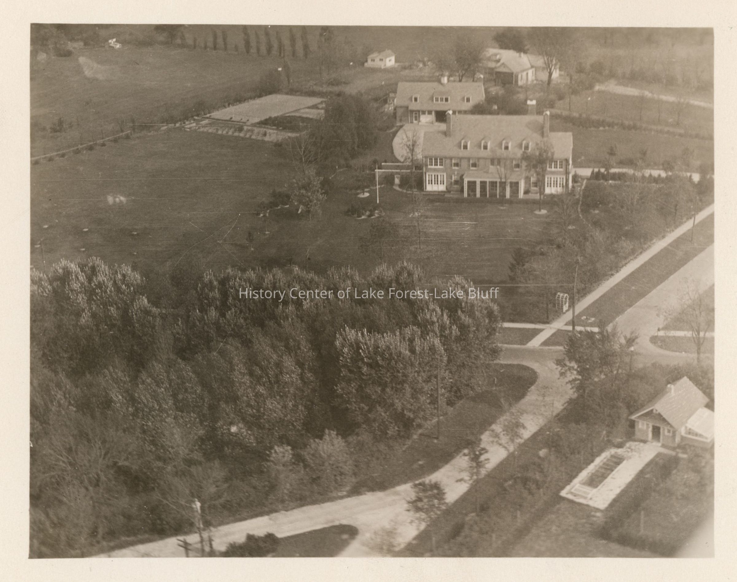
An aerial view shows a large house surrounded by open fields, trees, and smaller buildings.
Name/Title
Aerial view of 6 East Laurel Avenue, Alfred T. Carton estate
Entry/Object ID
2025.6.5
Description
Aerial view, looking east, of 6 East Laurel Avenue, at the northeast corner of Laurel and Green Bay Road. Alfred T. and Mildred Wells Carton estate - undated but after 1918, probably c. early 1920s. Main house, garage and gardens in view.
Built in 1917-1918 - architect Chester H. Walcott, landscape architect James Roy West, with O.C. Simonds Landscape Design