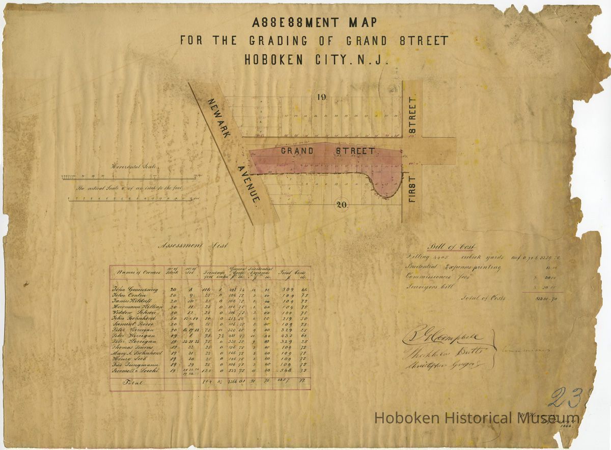
Assessment Map for Grading of Grand St. Newark to First 1866
Name/Title
Assessment Map for the Grading of Grand St., Hoboken, New Jersey. [1866].
Entry/Object ID
2005.025.0003
Description
Assessment Map for the Grading of Grand St., Hoboken, New Jersey. [1866].
Commissioners: B.R Campell; Theophilus Butts; Christopher Gregory
William Hexamer, City Surveyor, 1866.
[Sheet number in blue pencil] 238
Ink and pencil on paper. Approx. 29-1/2" wide x 22" high.Damaged. PDF on file. Scans media archives.
----
assessment / taxes / roads / streets/ taxation
Acquisition
Accession
2005.025
Source or Donor
Hans, Jim
Acquisition Method
Gift
Credit Line
Gift of Jim Hans
Map Details
Date Published
1866 - 1866
Map Notes
Date(s) Created: 1866
Date(s): 1866
General Notes
Note
Display Value: Fair
Status: OK
Status By: dw
Status Date: 2005-10-11