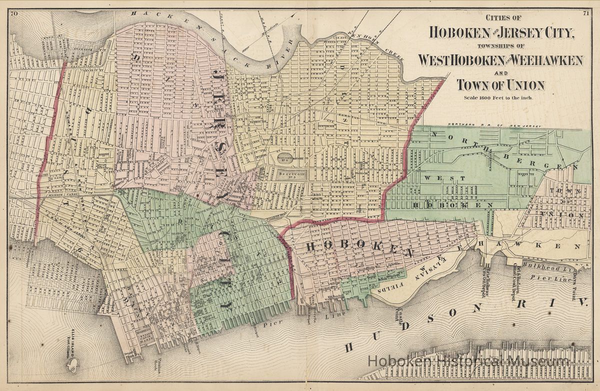
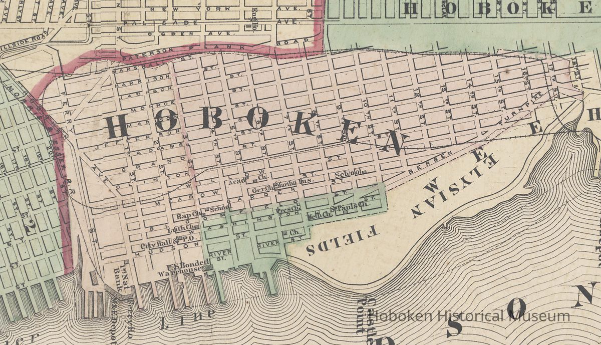
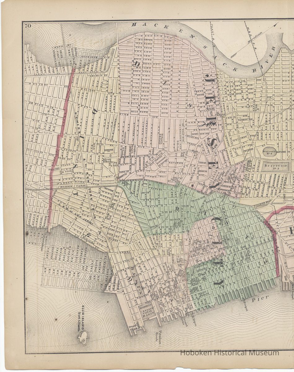
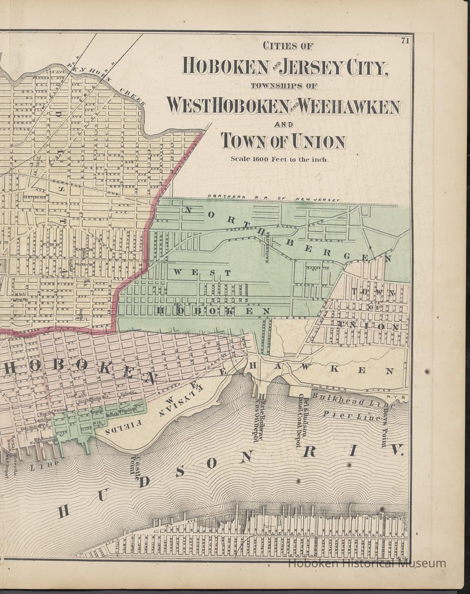
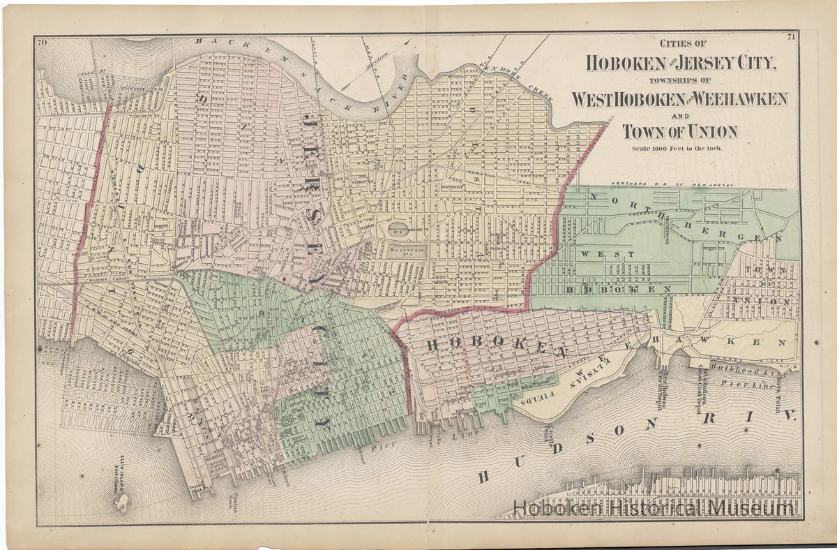
Map: Cities of Hoboken & Jersey City, Townships of West Hoboken & Weehawken & Town of Union. From: F.W. Beers' Atlas of New Jersey, 1872 or 1876 printing.
Map: Cities of Hoboken & Jersey City, Townships of West Hoboken & Weehawken & Town of Union. From: F.W. Beers' Atlas of New Jersey, 1872 or 1876 printing.
Entry/Object ID
2006.014.0400
Scope and Content
Map: Cities of Hoboken and Jersey City, Townships of West Hoboken and Weehawken and Town of Union. Pages 70-71 for Atlas of New Jersey. Published by F.W. Beers, 1872 or 1876 printing.
Folio, 24" wide x 15" high. Scale: 1600 feet to the inch.
Digital images only: museum does not own original. PDF on file.
.
Acquisition
Accession
2006.014
Source or Donor
Cantor, Paula Millenthal
Acquisition Method
Gift
Credit Line
Paula Millenthal Cantor Collection. Gift of Paula Cantor.