Name/Title
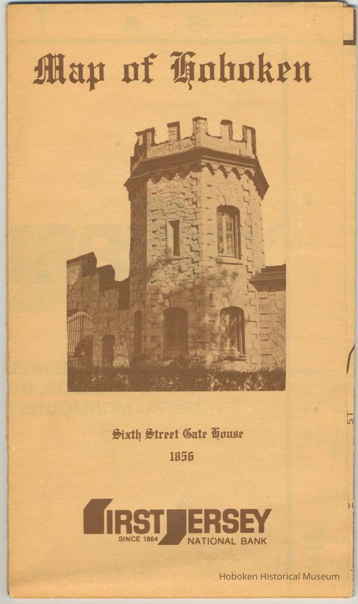
Map of Hoboken. Issued by First Jersey National Bank, Hoboken, no date, ca. 1976-1983.Entry/Object ID
2003.063.0001Description
Map of Hoboken. Issued by First Jersey National Bank, Hoboken, no date, ca. 1976-1983. 17-3/8" wide x 22-1/2" high, folded to ca. 4-1/2" wide x 7-1/2" high. Two copies. See archives 2012.016.0003 for a fully imaged copy.
The map side is a simple map of the city with a key at the bottom along with a photograph of the bank building, a modern concrete structure at 1 Firehouse Plaza, Second and Hudson Sts. Fire house no. 1 and Fire Headquarters were once at this location. There is a plaque commemorating such inside the Hudson St. lobby. Due to bank mergers, Fleet Bank is the current bank that is here [as of 2012, it had become a Bank of America branch.]
The reverse side has six images of Hoboken bordering a "Capsule of Hoboken History" by John J. Heaney, Historian, Hoboken Historical Society (sic). Below this text is a "Newcomer's Guide" which is useful in dating the map. A listing under "Transportation" for Conrail which operated the passenger train service at Hoboken from 1976-1983 (when New Jersey Transit took over the Conrail passenger operations.)Acquisition
Accession
2003.063Source or Donor
Miranda, RichardAcquisition Method
GiftCredit Line
Gift of Richard Miranda.Map Details
Date Published
1976 - 1983Map Notes
Date(s) Created: 1976-1983
Date(s): 1976-1983
Level of Description: ItemGeneral Notes
Note
Display Value: Good
Status: OK
Status By: dw
Status Date: 2003-10-07