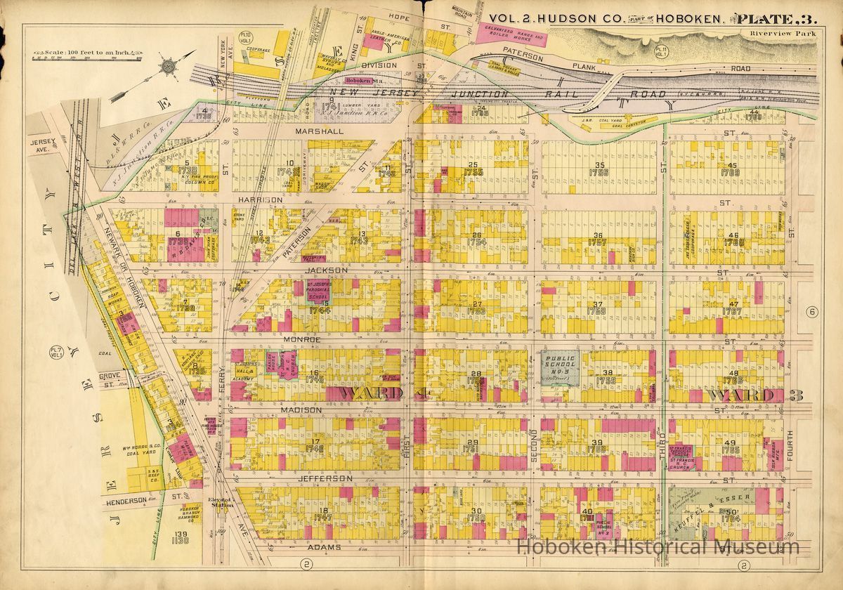
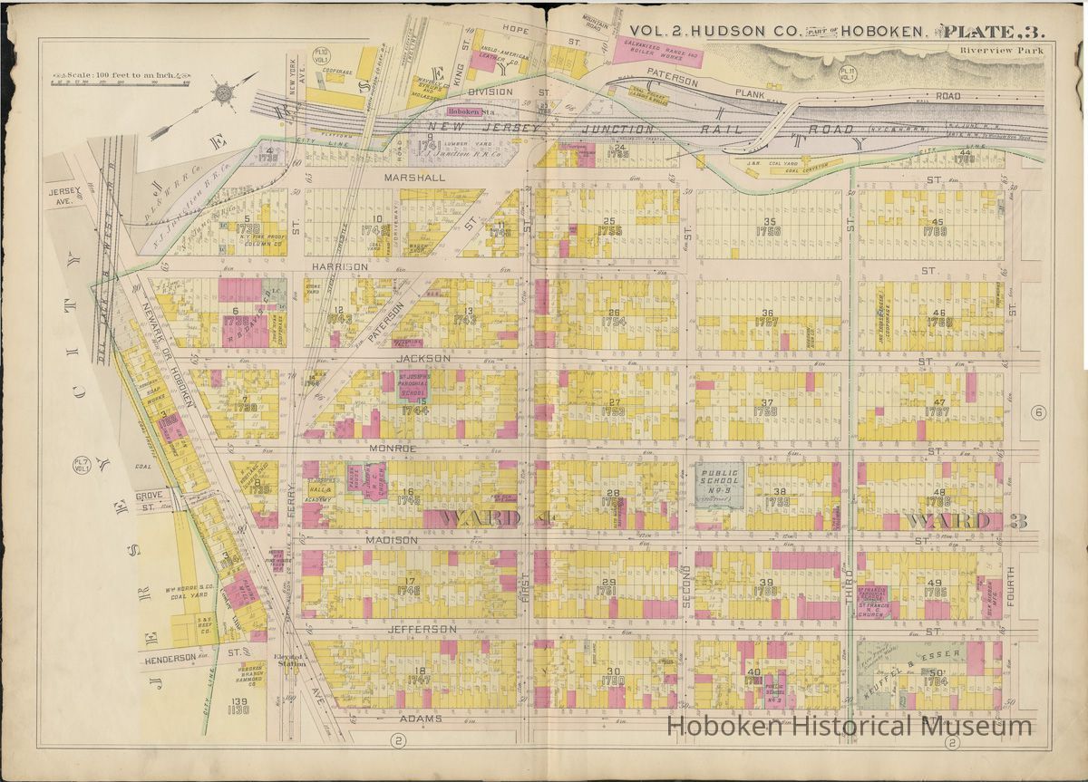
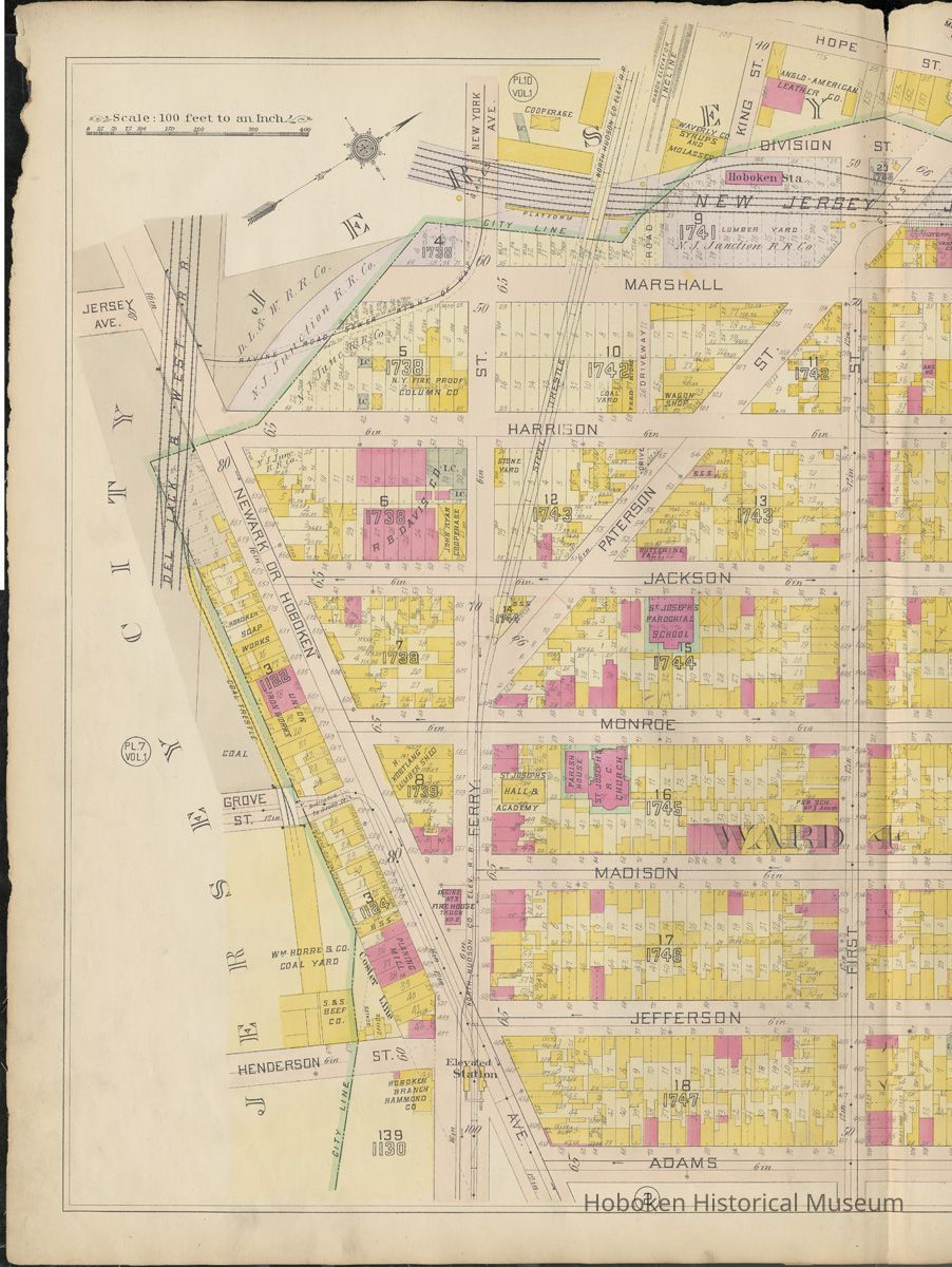
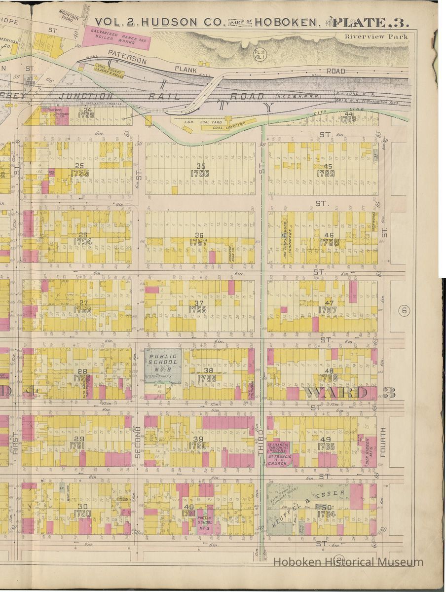
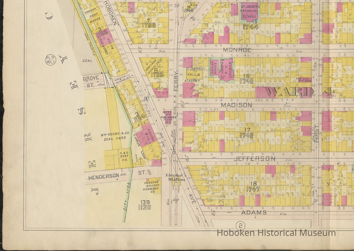
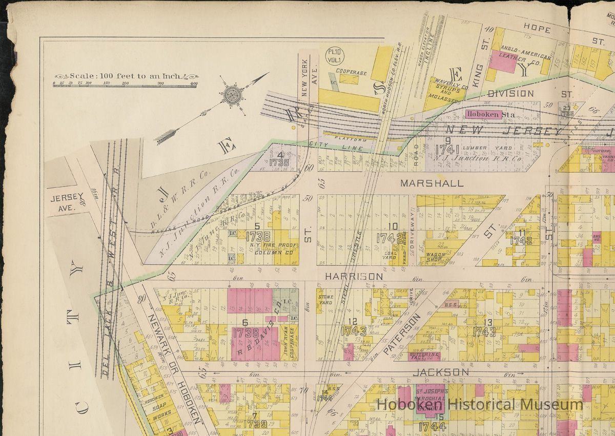
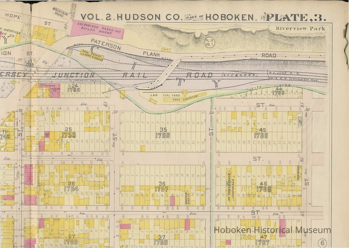
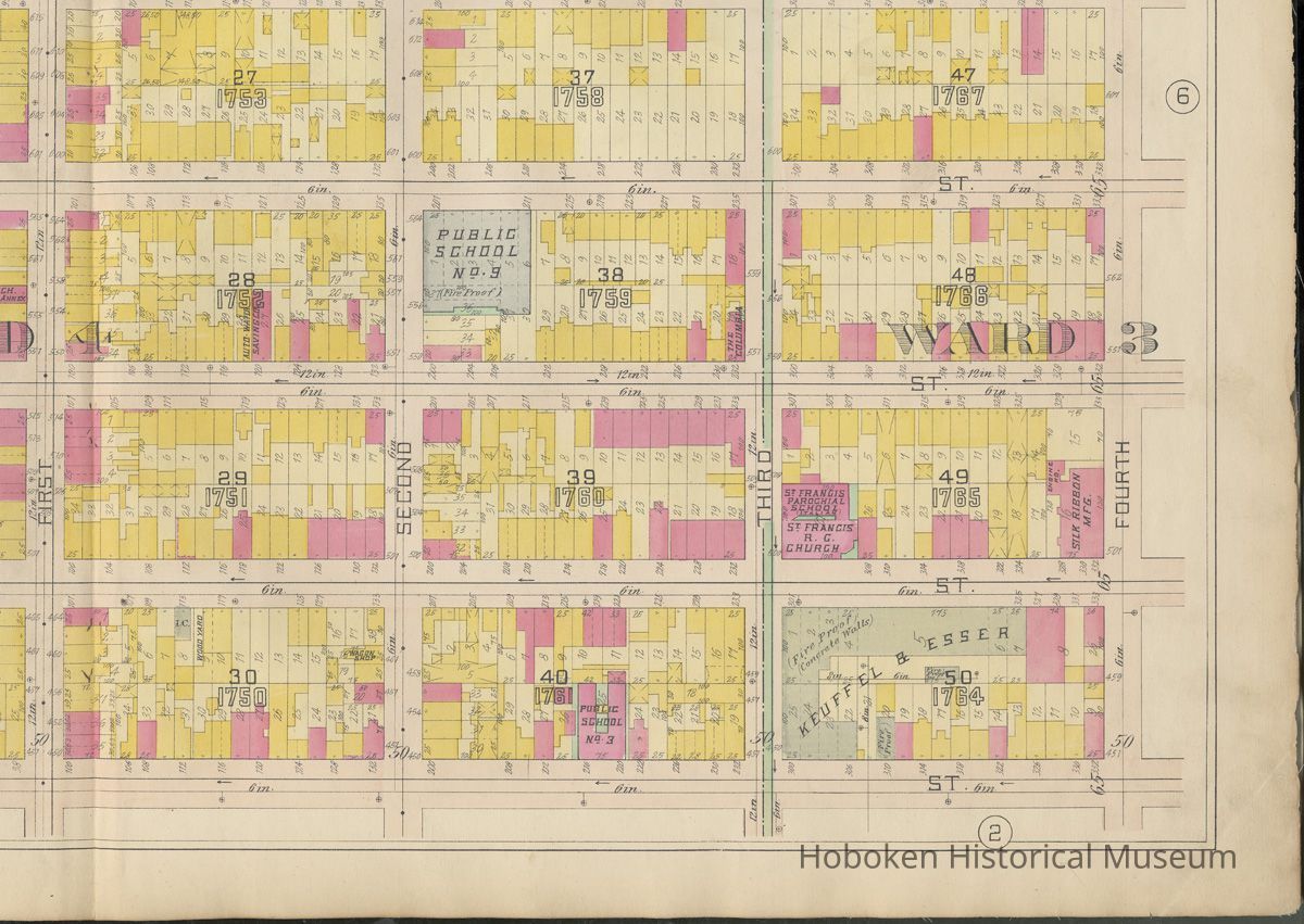
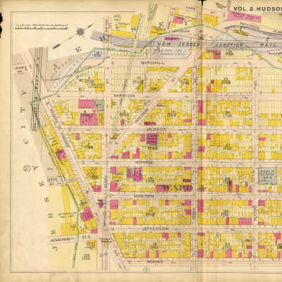
Plate 3 from Plat Book of Hudson County, Volume II. Philadelphia: G.M. Hopkins Co. (1909). Reference images.
Entry/Object ID
2004.028.0001.03
Description
Plate 3 from Plat Book of Hudson County, Volume II. Philadelphia: G.M. Hopkins Co. (1909). Plate is 23" high x 32" wide. Reference images. PDF on file.
See archives 2004.028.0001 for primary record. Individual plates 1 to 8, 12 and 17 from this volume are catalogued separately from 2004.028.0001.01 onward.
Imaged:
Composite - full plate with cropped edges and enhancements
Composite - full plate, no adjustments
Composite - left half
Composite - right half
Four overlapping quarter section scans of the original from which the composites were made:
Scan 01 bottom left
Scan 02 top left
Scan 03 top right
Scan 04 bottom right
All images are available on recordable media such as CD or DVD, JPEG &/or TIFF, plus PDF format.
Acquisition
Accession
2004.028
Source or Donor
Foster, Robert
Acquisition Method
Long Term Loan
Credit Line
Gift of Robert Foster
Map Details
Date Published
1909 - 1909
Map Notes
Date(s) Created: 1909
Date(s): 1909
Level of Description: Item
Condition
Overall Condition
Fair
General Notes
Note
Display Value: Good
Status: OK
Status By: dw
Status Date: 2004-05-03