Hurricane Sandy Flood Maps Hudson County Fema Dec 2012_page_1
Name/Title
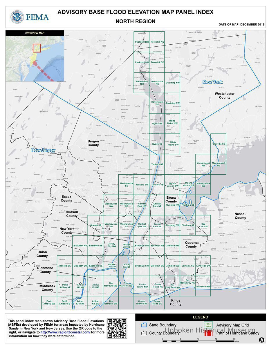
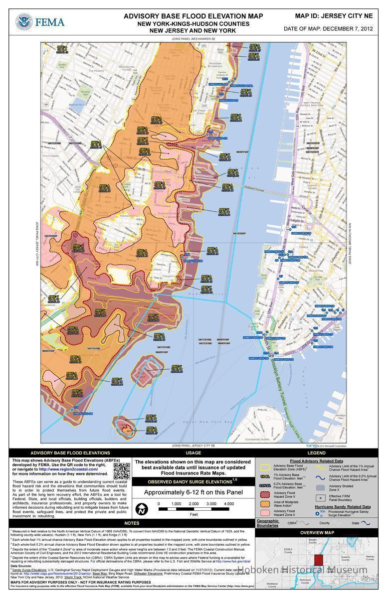
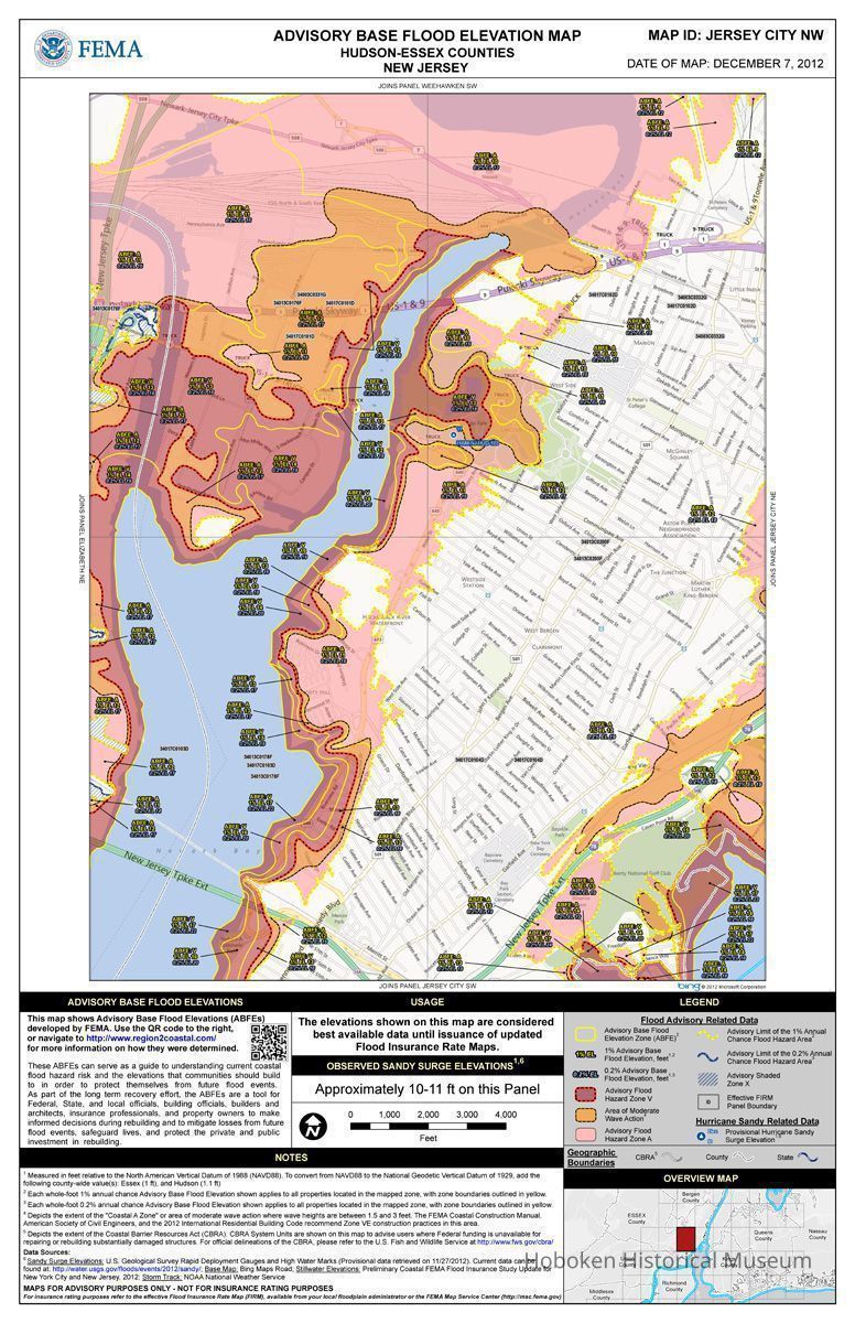
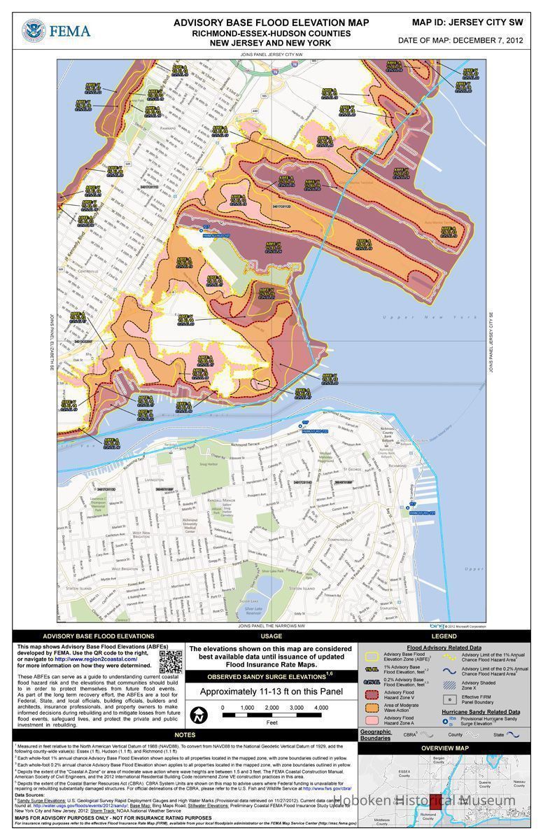
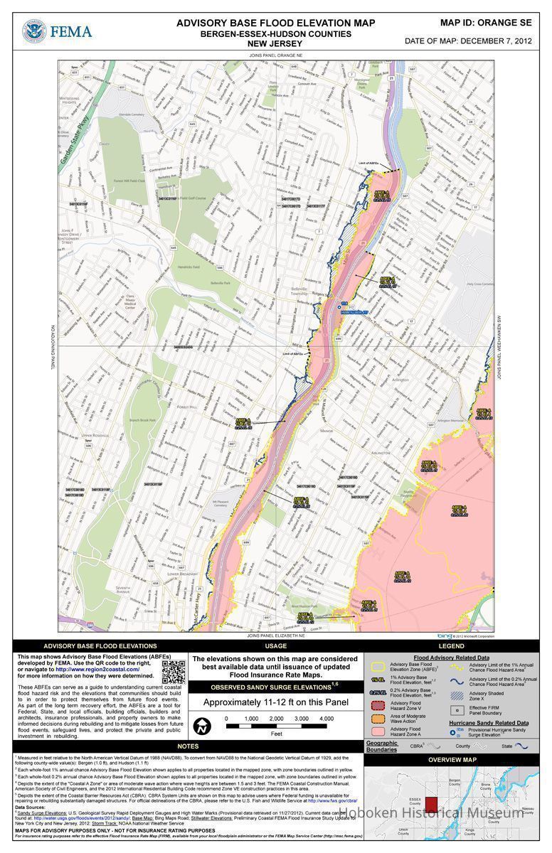
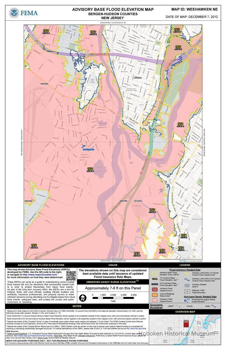
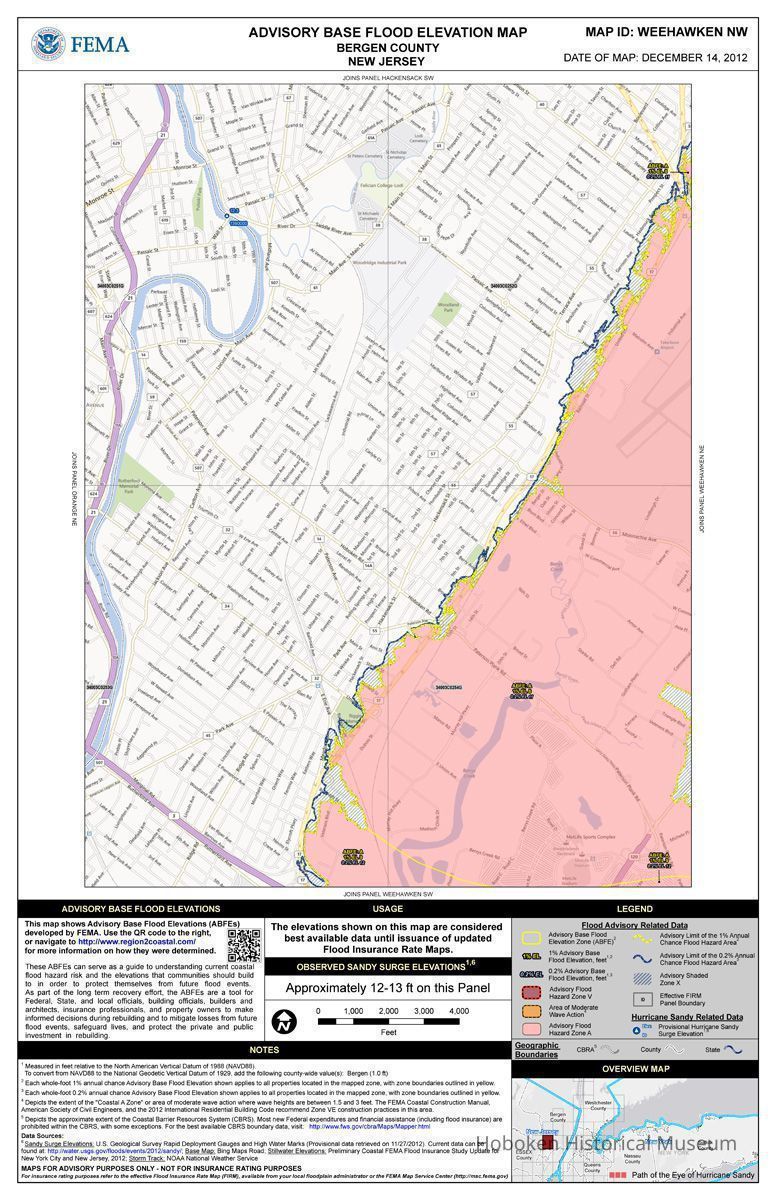
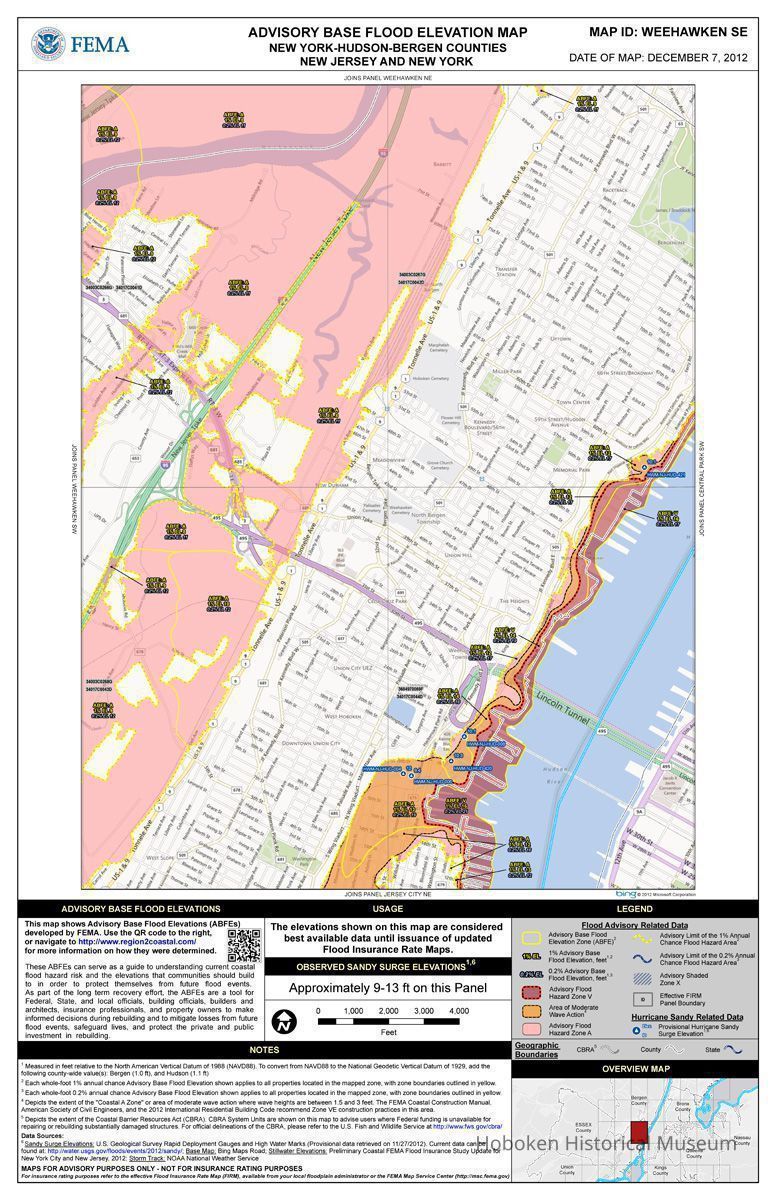
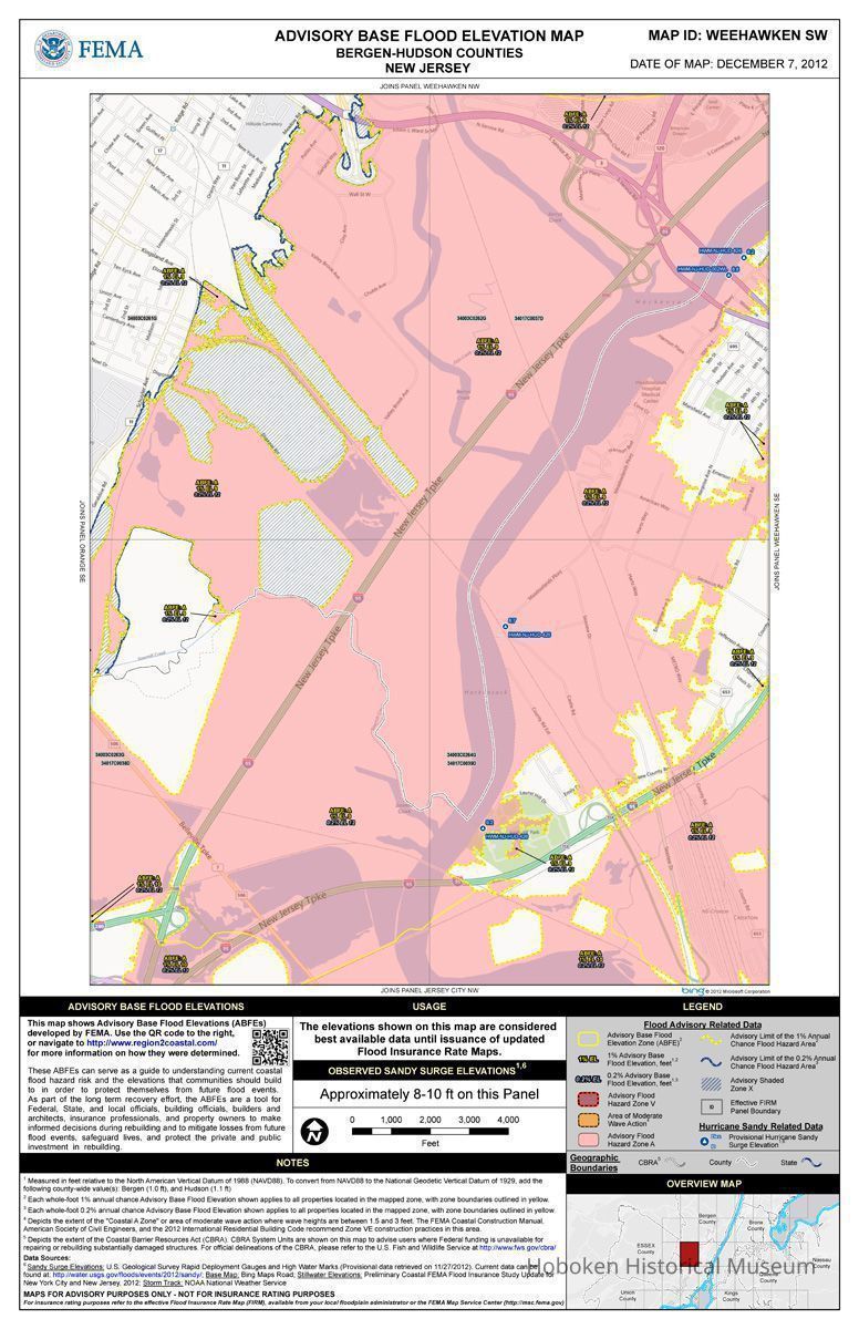
Preliminary maps showing storm surge in Hudson County; Flood Maps FEMA, December 2012.
Entry/Object ID
2013.002.0027
Scope and Content
Preliminary maps showing storm surge in Hudson County; Flood Maps FEMA, December 2012.
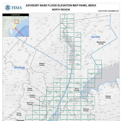
Nine maps: Advisory Base Flood Elevation Map.
While these maps cover primarily Hudson County, parts of Bergen and Essex Counties are also shown.
Digital format only: Tiffs; PDF.
Collected for reference by Hoboken Historical Museum for background and use in the exhibition: Hoboken: One Year After Sandy, Lessons Learned about Preparedness, Resiliency, and Community. On view: October 29, 2013 - July 6, 2014.
----
2013.002.0027_Hurricane_Sandy_Prelim_Flood_Maps_Hudson_County_FEMA_Dec_2012