Name/Title
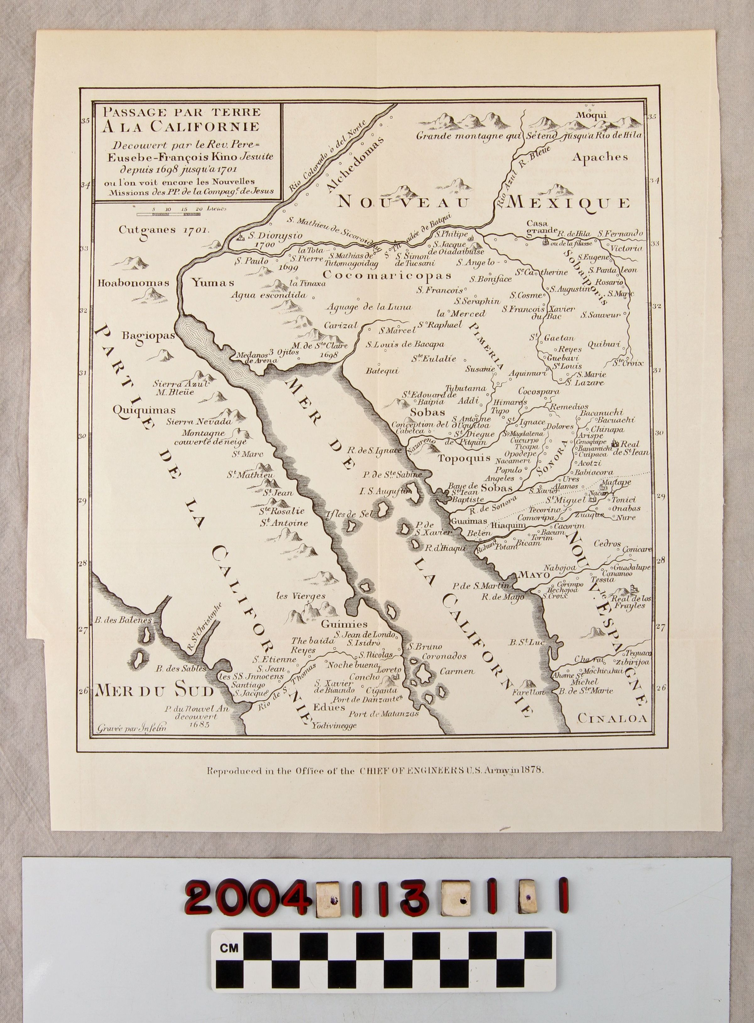
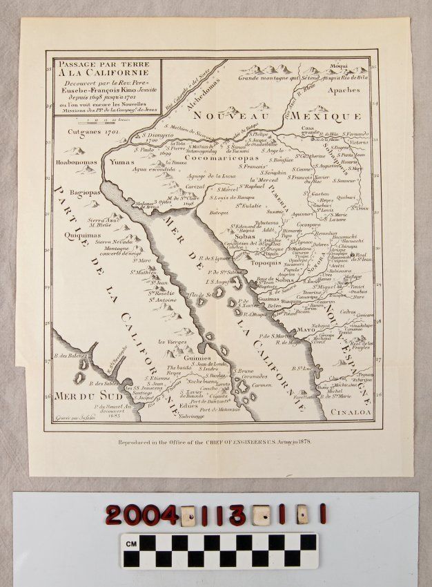
1878 REPRODUCTION OF A 1701 MAP OF THE GULF OF CALIFORNIA REGIONEntry/Object ID
2004.113.1.1Description
1878 REPRODUCTION OF A 1701 MAP OF THE GULF OF CALIFORNIA REGION
Color: Black; White
A map, reproduced by the U. S. Army Chief Engineer's office, of a 1701 French map of the Gulf of California region. The item has a title in a box at the upper left identifying the item as a map of land passage in California as discovered by Eusebio Francisco Kino, a Jesuit missionary, between 1698 and 1701. The area shows ranges from "Nouveau Mexique" on the north, meaning lower Arizona to Sinaloa on the southeast and from some distance below Guaymas on the east coast of Baja California northward toward present Yuma. A great many place names, rivers, mountain ranges, ancient Indian sites, bays and harbors, islands, and other features are noted, including the Colorado and Gila rivers in present Arizona and California. At the bottom is a note about the reproduction. With liight creases, minor soiling, some yellowing, a few original folds, and an irregular cut on the left edge, the overall condition is good.Lexicon
Search Terms
Two-dimensional, Maps, Roman Catholic Church. Jesuit Order, Baja California (Mexico), Mexico