Name/Title
"Goodrich Road Map of Southern California"Entry/Object ID
2008.284.1.1Description
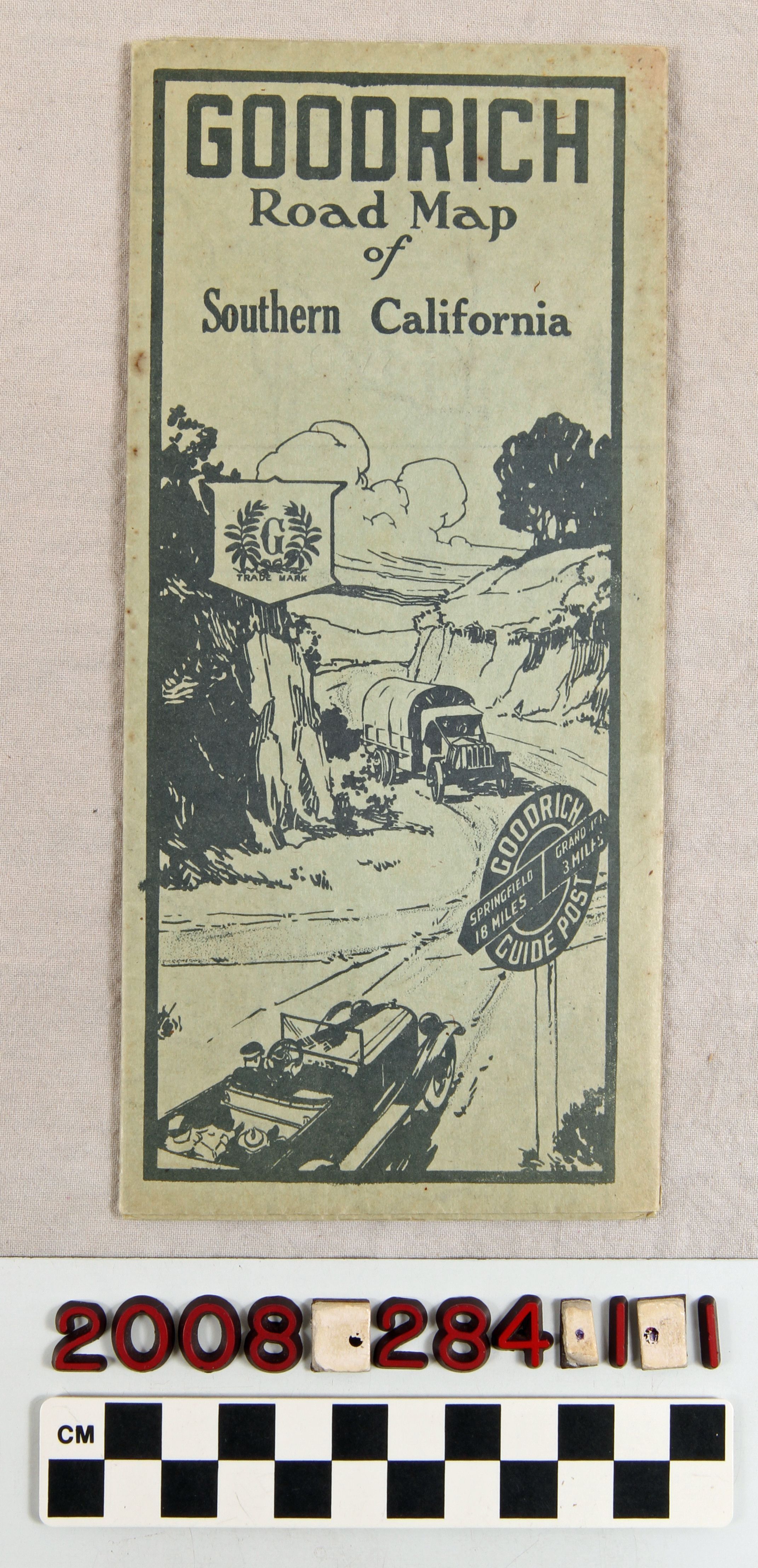
"Goodrich Road Map of Southern California," issued by the Touring Bureau of The B. F. Goodrich Rubber Company, Akron, Ohio, 1919. When unfolded, there is a regional map showing major roads and other roads from Paso Robles and Kernville from the north to San Diego on the south and the Nevada and Arizona borders on the east. There is also a detail of the Los Angeles region heading east to Beaumont and south to Murrieta and Laguna Beach at the lower left. At the bottom are tables of distances to various places from Los Angeles. Other panels features detailed maps of the San Gabriel Valley, Los Angeles, San Diego and the South Bay area; suggested tours of California; material on good roads; other national branches of Goodrich touring bureaus; and company advertisements. There are some stains, small tears folds, light soiling, and folds, but the condition is good.Lexicon
Search Terms
California. Department of Public Health. Bureau of Child Hygiene, United States. Department of Labor. Children's Bureau.