Name/Title
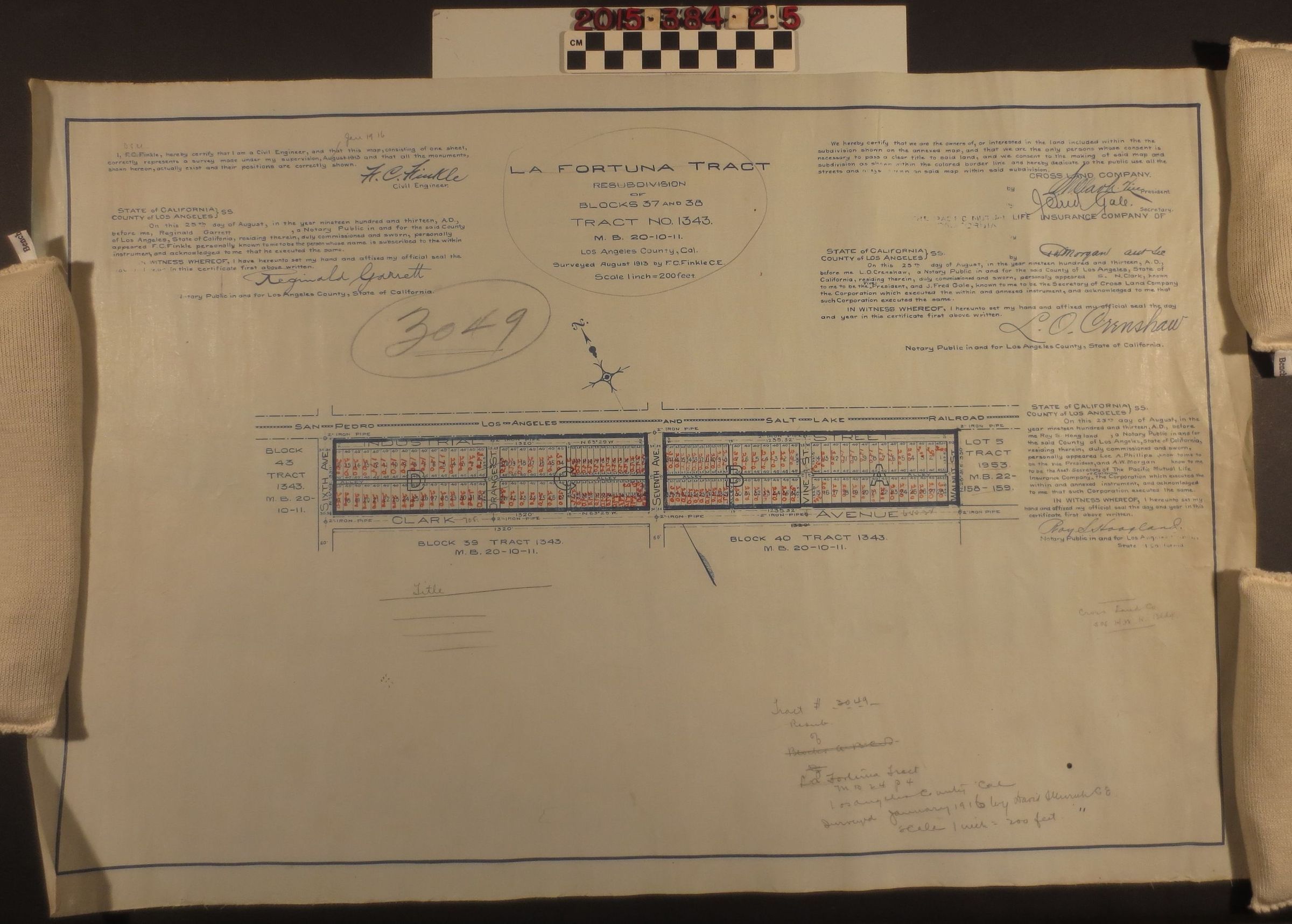
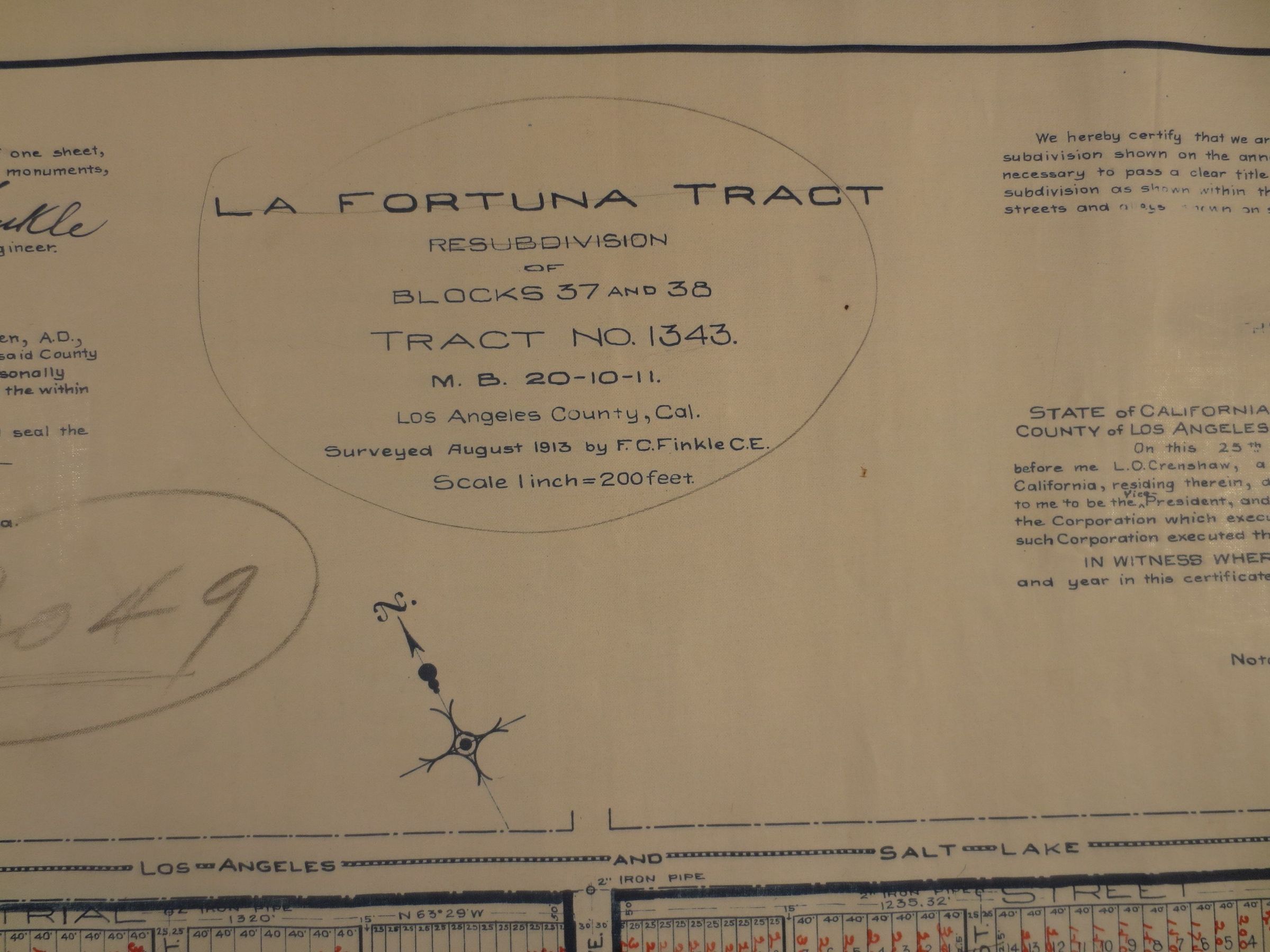
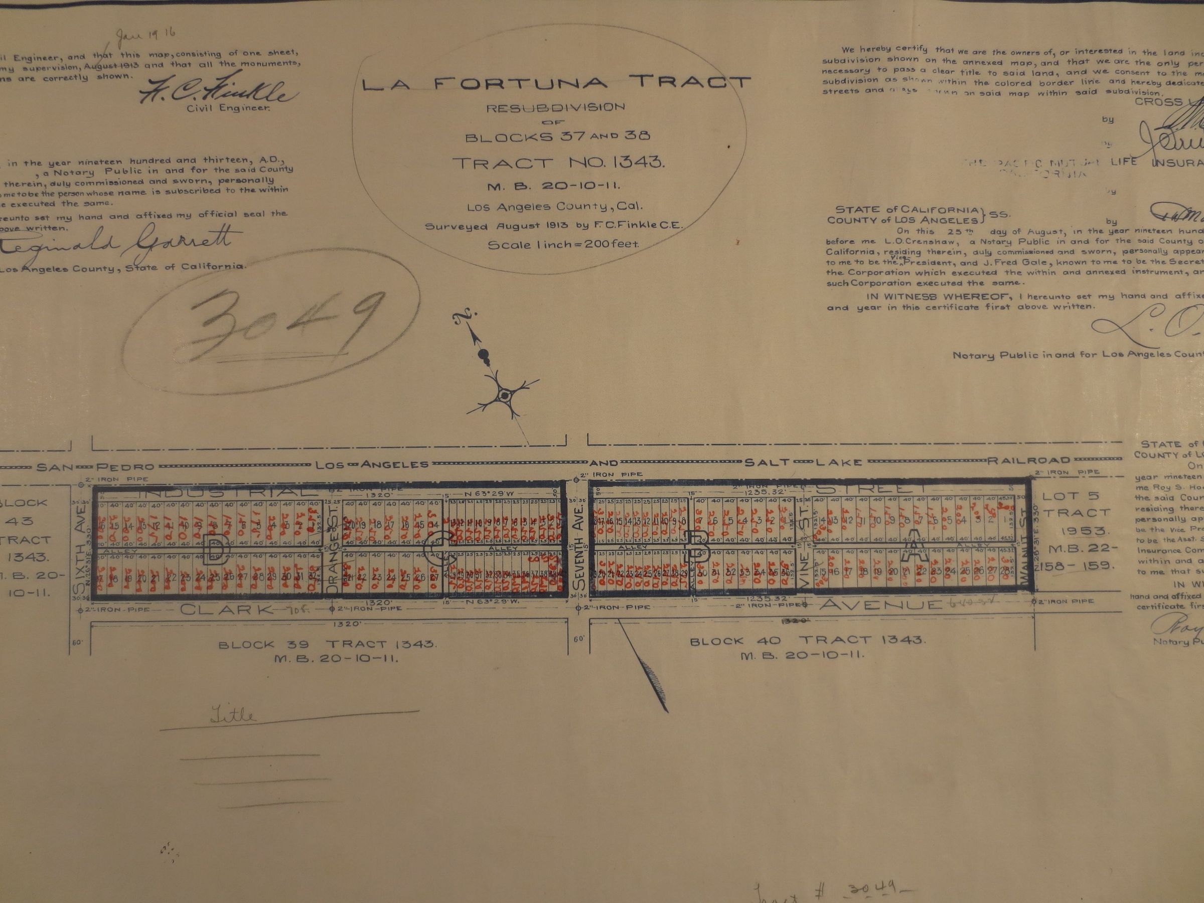
A map, La Fortuna Tract No. 1343, Blocks, 37 & 38, M. B. 20-10-11Entry/Object ID
2015.384.2.5Description
A map, La Fortuna Tract No. 1343, Blocks, 37 & 38, M. B. 20-10-11, Los Angeles County, 25 August 1913. A map printed on linen backing with blue and red ink, depicting two blocks of a section of the former, Rancho La Puente land. The area is bordered by Clark Avenue to the South, Sixth Ave to the West, Walnut Street to the East and the San Pedro to Los Angeles Railroad (Salt Lake) to the north. The blocks are divided into four sections, A-D, between Orange Street, Seventh Avenue and Vine Street. Each section is then further divided into rectangular lots. The map includes several witness signatures: F. C. Finkle, the civil engineer who conducted the survey, three notaries and representatives of the Pacific Mutual Life Insurance Company of California. The map was printed by Southern California Blue Print & Supply Co., Los Angeles. The map includes pencil inscriptions throughout and the printer's stamp on the reverse, right edge. The map is overall in good condition with moderate creasing, surface soiling and staining throughout, especially on the reverse along the left and right edges.