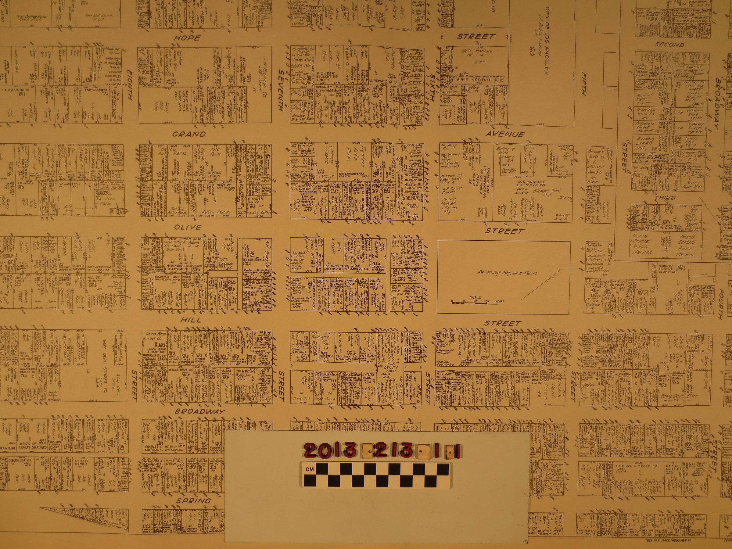
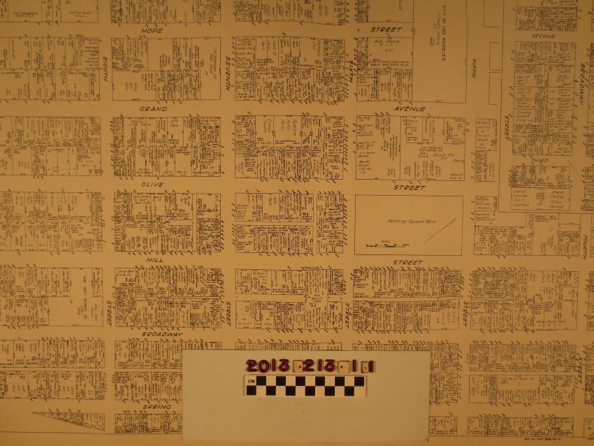
A map of a portion of downtown Los Angeles, Nathan Nirenstein, 1929. The coverage area is from south of Third Street to the south side of Ninth from north to south and from the east side of Spring Street to the west side of Flower Street from east to west. There is also an inset of the area between Spring and Hill and from First to below Third. Detailed descriptions of the owners and occupants of the various properties, lot size measurements, and street numbers are of note. Large public properties include Pershing Square Park and the Los Angeles City Library. The item has four holes punched on the left margin and a tab on the right from when this was in a book. With edge browning, some creases, light soiling and minor stains, the overall condition is good.
Lexicon
Search Terms
Cattle--Marking--Los Angeles County (Calif.), Cattle brands--Los Angeles County (Calif.)