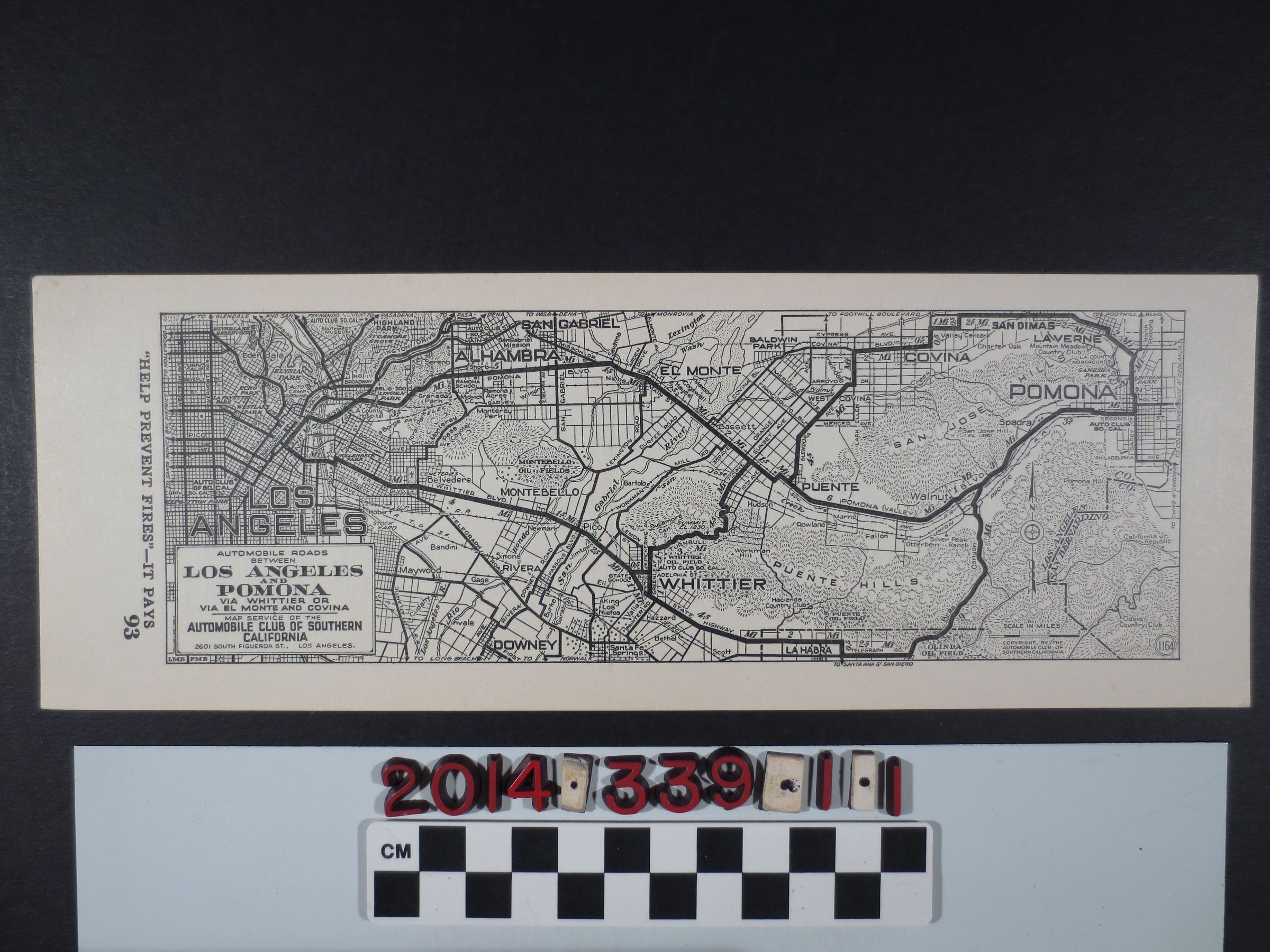
A map of automobile roads between Los Angeles and Pomona
Entry/Object ID
2014.339.1.1
Description
A map of automobile roads between Los Angeles and Pomona, published by the Automobile Club of Southern California, ca. 1920. The map shows main roads and topography of Puente Hills, El Monte, San Gabriel, Alhambra, Montebello, Whittier, Downey, Covina and Pomona. It also includes locations of oil fields in the above areas. The map is in good condition.