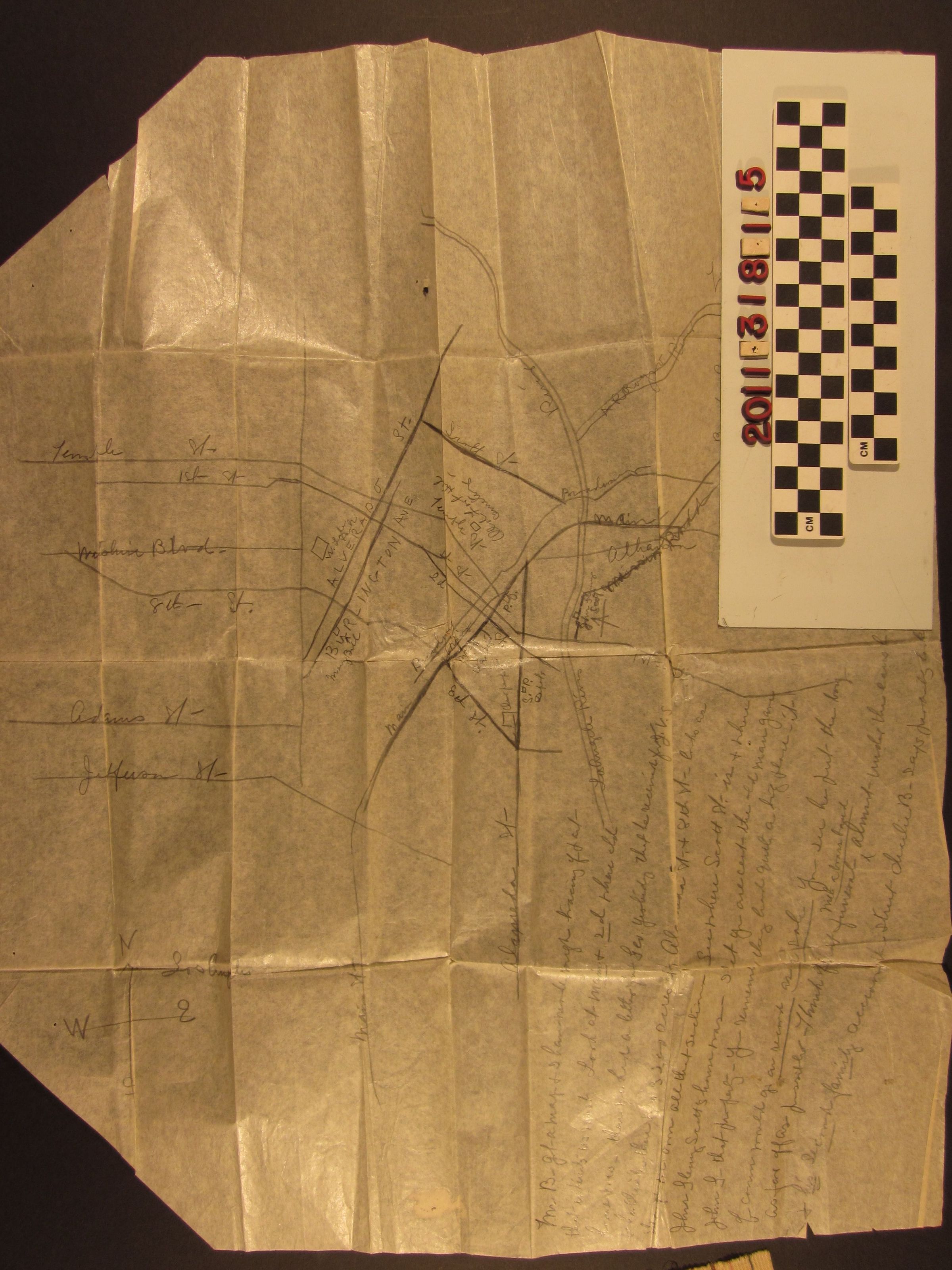
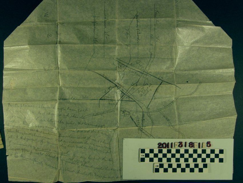
A map of Los Angeles referencing property of Jonathan R. Scott and family
Entry/Object ID
2011.318.1.5
Description
A map of dowtown Los Angeles referencing land owned by Joanthan R. Scott and descendants, ca. 1922. The hand-drawn item is on thin paper and in pencil and shows parcels held by 1850s and 1860s attorney and justice of the peace Scott and heirs in downtown, Westlake Park, and Lincoln Heights areas of the city. Notes are made in reference to these holdings and are related to notes and a letter in this accession concerning a potential claim on the land by New York descendants of Scott. The map may have been drawn by Edith Barclay, an heir, based on another map. With a cut corner, folds, creases and some soiling, the condition is fair.