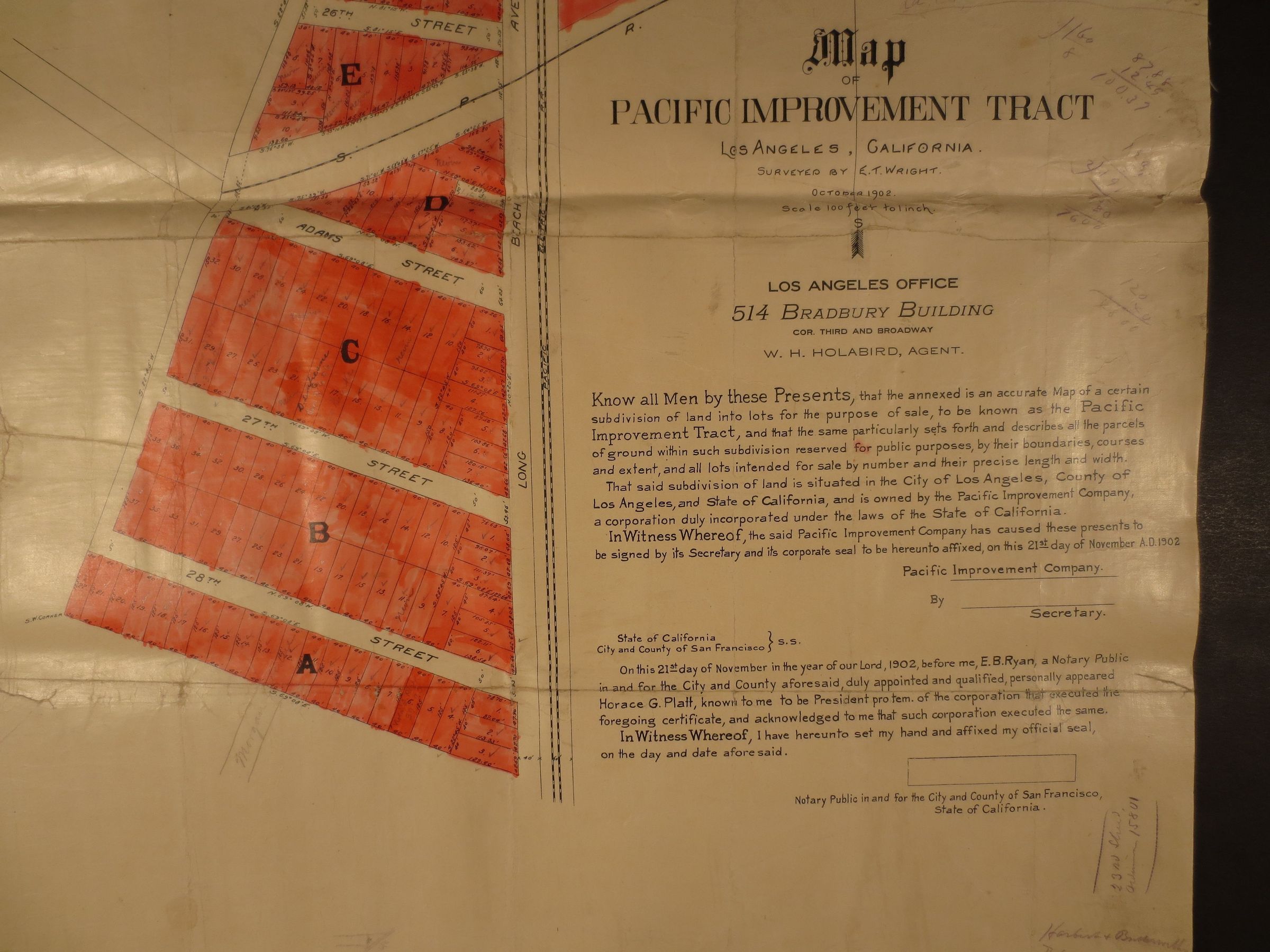
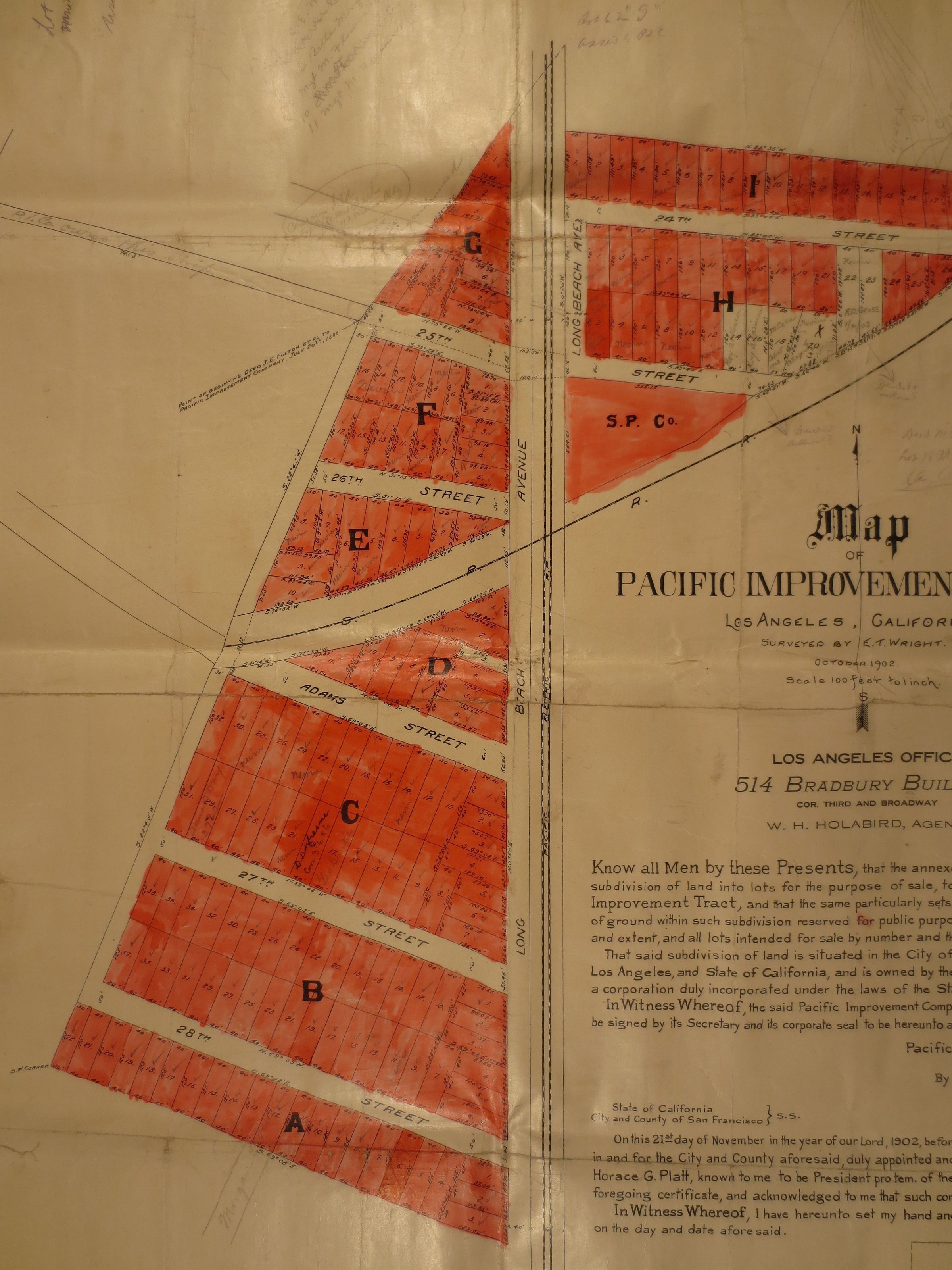
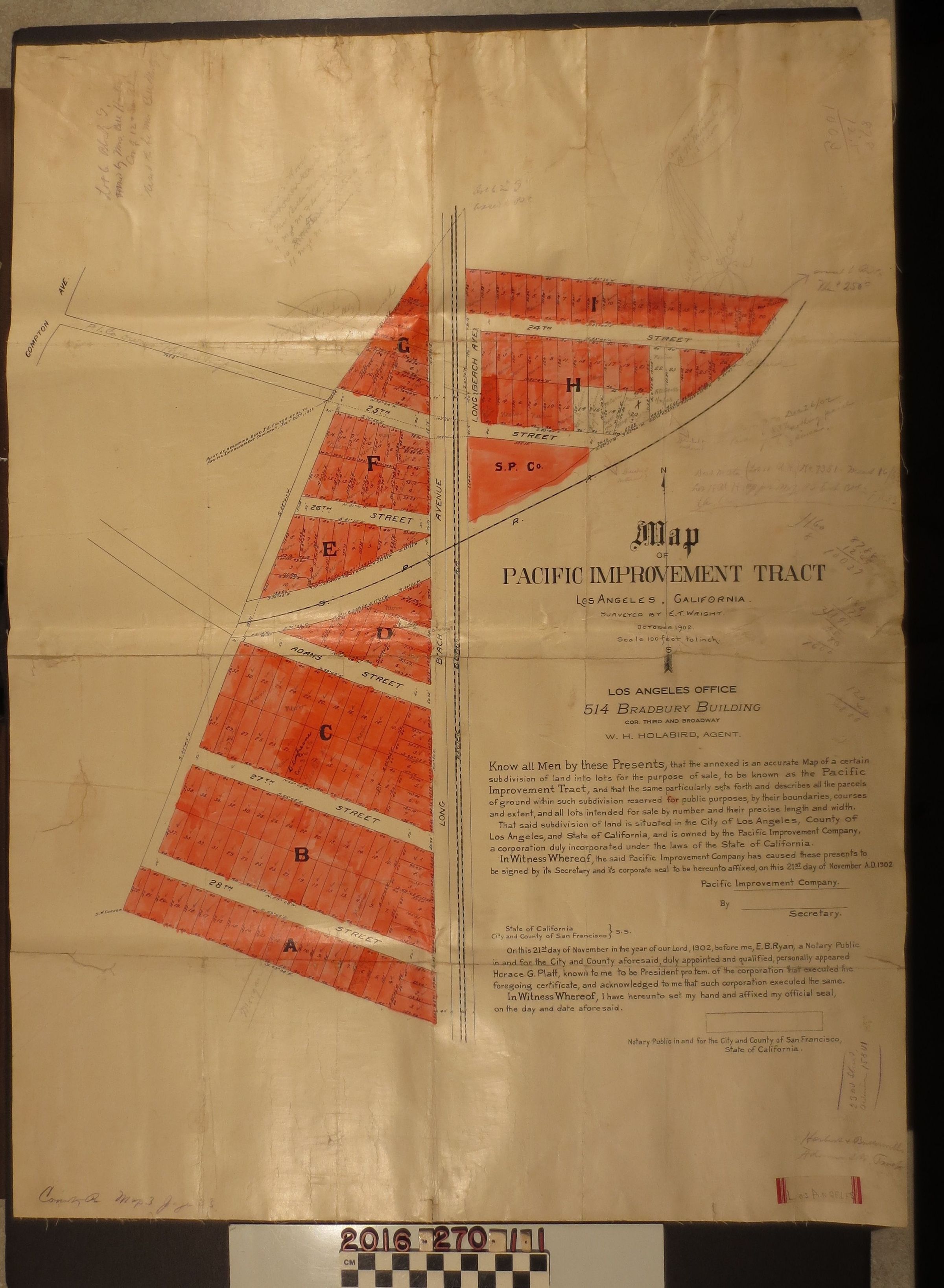
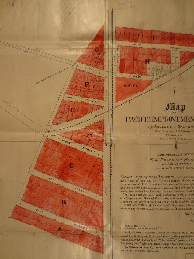
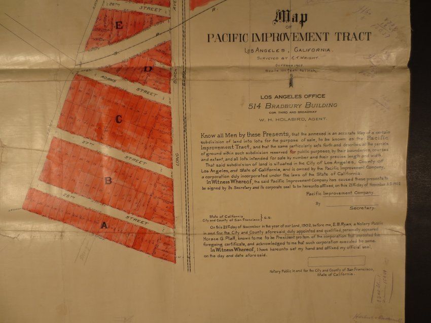
A map of Pacific Improvement Tract, Los Angeles, surveyed by C. T. Wright, October 1908. The map surveyed land owned by the Pacific Improvement Company, agent as W. H. Holabird. The main vertical axis is Long Beach Avenue crossing streets from 24th Street down to 28th Street. The horizontal blocks are colored in red. The map is printed on a canvas material and was previously folded. The map features several pencil inscriptions, calculations and notes along the sides. It is generally in good condition with minor surface soiling.