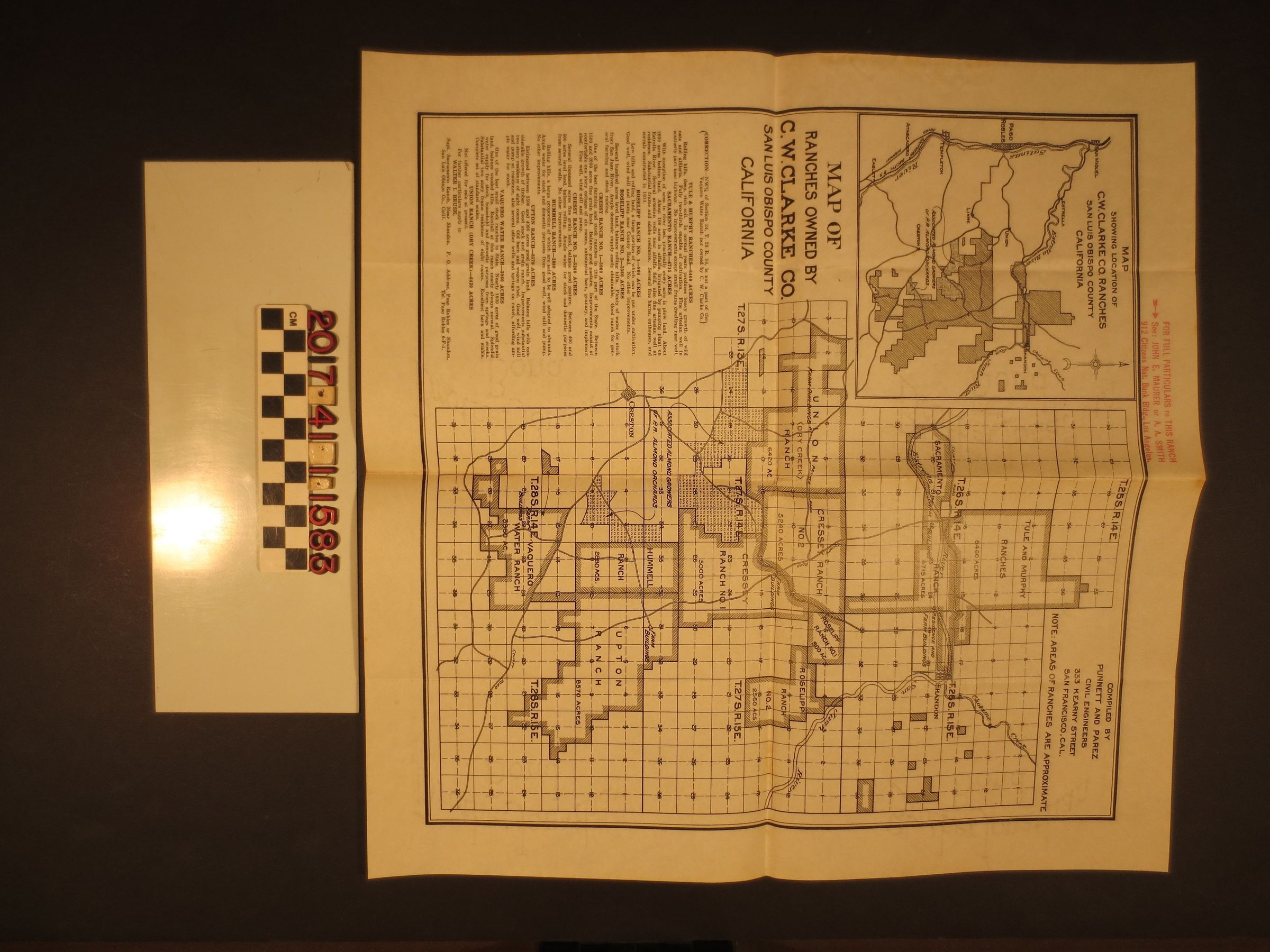
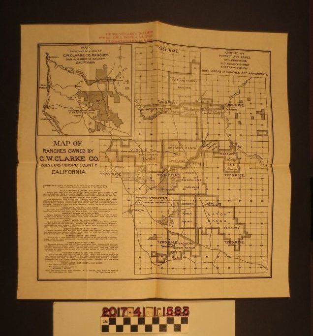
A map of ranches owned by the C.W. Clarke Company in San Luis Obispo County, California, ca. 1921.
Entry/Object ID
2017.41.1.1583
Description
A map of ranches owned by the C.W. Clarke Company in San Luis Obispo County, California, ca. 1921. This map was most likely attached to a letter in the HM Collection (Object ID: 2017.41.1.1582). The illustrated map shows the outlines of ten ranch sections: the Tule & Murphy; Sacremento; Roselipp; Cressy; Hummell; Upton; Vaquero Water; and Union ranches. The ranches are stated to range from 900 to 6,460 acres. Roads, rivers, creeks, and the Southern Pacific Railroad line are also shown on the map. Text from a stamp near the top of the map states that John E. Maurer or A.A. Smith should be contacted for full particulars. With creases, rust stains, minor foxing, and minor discoloration, the object is in good condition overall.